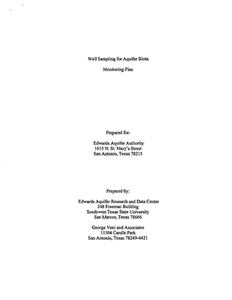
Well Sampling for Aquifer Biota

| Author | Edwards Aquifer Research and Data Center (EARDC) and George Veni and Associates (Veni) |
| Year | 2001 |
| Description | Sampling plan for studying subterranean species of the Edwards Aquifer Balcones Fault Zone San Antonio Segment |
| Publisher | Southwest Texas State University Edwards Aquifer Research and Data Center |
| Location | Edwards Aquifer, Balcones Fault Zone, San Antonio Segment |
| Cover | View Download |
| File | View Download |
| Summary |
|
The Well Sampling for Aquifer Biota Monitoring Plan was prepared for the Edwards Aquifer Authority by the Edwards Aquifer Research and Data Center at Texas State University and George Veni and Associates in 2001. The monitoring plan addresses the need for new, expanded data and information regarding the subterranean aquifer-dwelling organisms of the San Antonio portion of the Balcones Fault Zone Edwards Aquifer by describing locations and methods for collecting aquifer-dwelling biota similar to the previous sampling in 1979. [From the Introduction] The subterranean aquifer-dwelling organisms have generated substantial interest in the scientific community because of their unique biology, distribution patterns, phylogenetic relationships, and evolutionary history. Limited information about their abundance, distribution, population trends, and other life history information has been developed. Dr. Glenn Longley, his research associates, and graduate students performed the last comprehensive survey of these organisms in 1979. New information about these organisms will support better-informed decisions regarding aquifer management. In November 2000, the Authority entered into a contract with Southwest Texas State University (SWTSU) through its Edwards Aquifer Research and Data Center (EARDC). The contract stipulates that EARDC shall develop a comprehensive Monitoring Plan (the Plan) for sampling locations across the aquifer so as to meet the specific objectives and desires of the Authority, its EAOP, and the HCP. The purpose of this document is to function as the Plan for the Study as funded by the Authority. The Plan provides a simple, concise document that outlines procedures and protocols that will allow researchers to fully implement the Study upon the Authority’s review and approval of the Plan. It is understood that, depending upon results and future developments, through time the Plan may be further modified, with approval of the Authority. Modifications may be required to facilitate implementation and completion of the Study and will be documented in required quarterly progress reports and the final report. |
Search for Documents
Advance Search
Explore EAA's Scientific Reports
- All Reports
- Water Resources Planning and Management
- Floods and Drought
- Water Quality
- Climatology
- Surface Water / Groundwater Relationship
- Biology
- Springs, Groundwater Discharge
- Archaeology
- RZ Protection
- Aquifer Levels
- Remote Sensing
- Precipitation
- Overview Studies
- Modeling
- Hydrology and Hydrogeology
- History
- Groundwater Recharge, Recharge Zone
- Groundwater Movement
- Geomorphology and Caves
- Weather Modification
- Geology
- Water Use and Conservation
- Geochemistry
