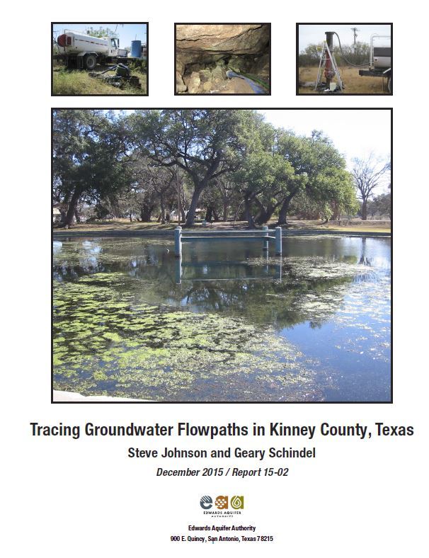
Tracing Groundwater Flowpaths in Kinney County, Texas

| Author | S Johnson and G Schindel |
| Year | 2015 |
| Description | This report presents the findings of a groundwater flowpath investigation in Kinney County, Texas, performed by the Edwards Aquifer Authority between 2007 and 2012. |
| Report Number | 15-02 |
| Publisher | Edwards Aquifer Authority |
| Location | Edwards Aquifer, Balcones Fault Zone, San Antonio Segment, Kinney County |
| Cover | View Download |
| File | View Download |
| Summary |
|
Results of the investigation revealed discrete groundwater flowpaths and relatively slow to rapid Because the actual groundwater flowpaths are certainly longer than straight lines, the apparent velocities underestimate the actual velocities. Injection points were Alamo Village Cave, HF&F Cave, Grass Valley PW-1, Whitney Cave, and Pratt’s Sink in the north part of the study area; Dooley Irrigation Well in Pinto Valley; and Boerschig Well located approximately two mi northwest of Brackettville. Dyes from Grass Valley PW-1, Whitney Cave, and Pratt’s Sink traveled radially to the south, east, and west, influenced by a structural embayment in the Edwards Aquifer that maintained relatively flat groundwater gradients. Deep flowpaths probably influenced by geologic structures resembling anticlines carried dyes southward to Las Moras Springs, a City of Brackettville well, and Fort Clark Municipal Utility District (MUD) wells. Groundwater chemical compositions vary at these locations, suggesting that there are discrete |
Search for Documents
Advance Search
Explore EAA's Scientific Reports
- All Reports
- Water Resources Planning and Management
- Floods and Drought
- Water Quality
- Climatology
- Surface Water / Groundwater Relationship
- Biology
- Springs, Groundwater Discharge
- Archaeology
- RZ Protection
- Aquifer Levels
- Remote Sensing
- Precipitation
- Overview Studies
- Modeling
- Hydrology and Hydrogeology
- History
- Groundwater Recharge, Recharge Zone
- Groundwater Movement
- Geomorphology and Caves
- Weather Modification
- Geology
- Water Use and Conservation
- Geochemistry
