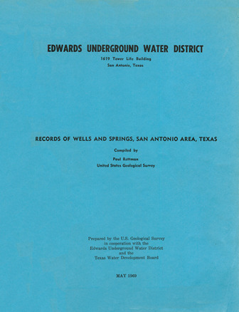
Records of Wells and Springs, San Antonio Area, Texas

| Author | Rettman P (US Geological Survey) |
| Year | 1969 |
| Description | Records of wells and springs in the Edwards Aquifer, Balcones Fault Zone, San Antonio Segment, 1956-1968 |
| Report Number | Bulletin 24 |
| Publisher | Edwards Underground Water District |
| Location | Edwards Aquifer, Balcones Fault Zone, San Antonio Segment |
| Cover | View Download |
| File | View Download |
| Summary |
|
The purpose of this report is to up-date the published records of wells and springs in the San Antonio area, including all major well developments during the period 1956-68. Previous compilations are contained in the following reports: Petitt and George {1956); Bennett and Sayre {1962); Welder and Reeves {1962); Holt (1959); George (1952); and DeCook (1955) . The San Antonio area as used in this report is the same area as defined by Garza (1962). It extends from Brackettville to Kyle, varies from 5 to 4o miles wide, and includes all or parts of Bexar, Comal, Hays, Kinney, Medina, and Uvalde Counties (figs. 1-6). The wells listed in this report are mainly those with large yields that provide water for municipal supply, industrial use, or irrigation. Some smaller yield wells and springs that are being observed in hydrologic studies are included. Most of the wells produce water from the Edwards and associated limestones. A few wells are included that produce from the Glen Rose Limestone, the Carrizo Sand, or other formations. |
Search for Documents
Advance Search
Explore EAA's Scientific Reports
- All Reports
- Water Quality
- Climatology
- Surface Water / Groundwater Relationship
- Biology
- Springs, Groundwater Discharge
- Archaeology
- RZ Protection
- Aquifer Levels
- Remote Sensing
- Precipitation
- Overview Studies
- Modeling
- Hydrology and Hydrogeology
- History
- Groundwater Recharge, Recharge Zone
- Groundwater Movement
- Geomorphology and Caves
- Weather Modification
- Geology
- Water Use and Conservation
- Geochemistry
- Water Resources Planning and Management
- Floods and Drought
