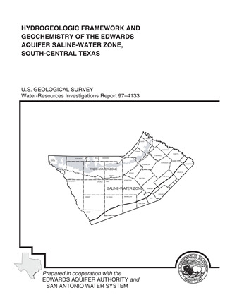
Hydrogeologic Framework and Geochemistry of the Edwards Aquifer Saline-Water Zone, South-Central Texas

| Author | Groschen GE and Buszka PM (US Geological Survey) in Cooperation with the Edwards Aquifer Authority and the San Antonio Water System |
| Year | 1997 |
| Description | Geochemical study of the Edwards Aquifer saline zone in relation to location of downdip and geological faults |
| Report Number | USGS WRIP 97-4133 |
| Publisher | US Geological Survey |
| Location | Edwards Aquifer Balcones Fault Zone San Antonio Segment, saline-water zone |
| Cover | View Download |
| File | View Download |
| Summary |
|
The Edwards aquifer supplies drinking water for more than 1 million people in south-central Texas. The saline-water zone of the Edwards aquifer extends from the downdip limit of freshwater to the southern and eastern edge of the Stuart City Formation. Water samples from 16 wells in the Edwards aquifer saline-water zone were collected during July–September 1990 and analyzed for major and minor dissolved constituents, selected stable isotopes, and radioisotopes. These data, supplemental data from an extensive water-quality data base, and data from other previous studies were interpreted to clarify the understanding of the saline-waterzone geochemistry. Most of the isotope and geochemical data indicate at least two distinct hydrological and geochemical regimes in the saline-water zone of the Edwards aquifer. On the basis of hydrogen and oxygen isotopes and radiocarbon data, the shallower updip regime is predominantly meteoric water that has been recharged probably from the freshwater zone within recent geologic time (less than tens of thousands of years). Also, on the basis of hydrogen and oxygen isotope data, water in the hydrologically stagnant regime (downdip) has been thermally altered in reactions with the carbonate rocks of the zone. The deeper water probably is much older than water in the shallow zone and is nearly stagnant relative to that in the shallow zone. The geochemical grouping observed in the wellwater data from well samples in the saline-water zone indicates that the zone is hydrologically compartmentalized, in part because of faults that function as barriers to downdip flow of recharge water. These fault barriers also probably impede updip flow. Flow compartmentalization and the resulting disparity in geochemistry between the two regimes indicate that updip movement of substantial amounts of saline water toward the freshwater zone is unlikely. Estimated in-place temperature of the samples collected indicates an increase with depth and (or) distance from the downdip limit of freshwater. The pH of the samples decreases with increasing distance from the downdip limit of freshwater, but the decrease is caused partly by the increase in temperature. Dissolved major ions and dissolved solids concentrations all indicate a progressive but monotonic increase in salinity from updip to downdip. The alkalinity of the water samples is predominantly bicarbonate because the low molecular weight aliphatic-acid anion concentrations are small relative to the bicarbonate concentrations. The dissolved organic carbon concentrations also are lower than expected for an aquifer with economic amounts of oil and gas hydrocarbons. |
Search for Documents
Advance Search
Explore EAA's Scientific Reports
- All Reports
- Water Quality
- Climatology
- Surface Water / Groundwater Relationship
- Biology
- Springs, Groundwater Discharge
- Archaeology
- RZ Protection
- Aquifer Levels
- Remote Sensing
- Precipitation
- Overview Studies
- Modeling
- Hydrology and Hydrogeology
- History
- Groundwater Recharge, Recharge Zone
- Groundwater Movement
- Geomorphology and Caves
- Weather Modification
- Geology
- Water Use and Conservation
- Geochemistry
- Water Resources Planning and Management
- Floods and Drought
