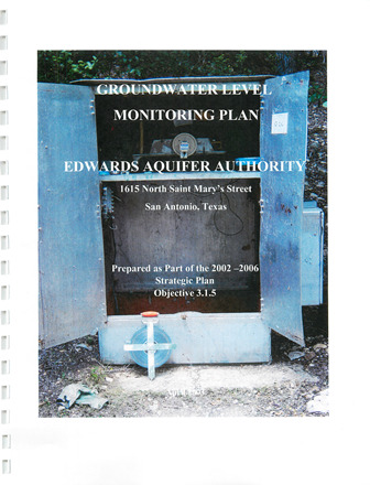
Groundwater Level Monitoring Plan

| Summary |
|
This plan is intended as a guidance document for Authority staff to use when collecting groundwater level data. The importance of this data should not be underestimated, especially when collected properly, and validated in the field. Groundwater level data can be used to better understand aquifer response to stresses related to pumping, and recharge in addition to ascertaining groundwater gradient information, and surface water interactions that occur in the aquifer. The primary aspects of this document are the use of data quality objectives (DQOs), standard operating procedures (SOPs), and conducting annual reviews of the plan itself to ensure the adequacy of the plan as conditions and data needs change. The use of DQOs will ensure that data collected are consistent, and appropriately flagged when suspect. Incorporation of SOPs into the plan will also contribute to consistent measurements, as well as prevent accidental cross contamination of wells. While the annual review process will help the Authority to maintain an accurate groundwater level data-set, as well as identify and correct anomalous and erroneous data points from future data-sets. |
Search for Documents
Advance Search
Explore EAA's Scientific Reports
- All Reports
- Water Quality
- Climatology
- Surface Water / Groundwater Relationship
- Biology
- Springs, Groundwater Discharge
- Archaeology
- RZ Protection
- Aquifer Levels
- Remote Sensing
- Precipitation
- Overview Studies
- Modeling
- Hydrology and Hydrogeology
- History
- Groundwater Recharge, Recharge Zone
- Groundwater Movement
- Geomorphology and Caves
- Weather Modification
- Geology
- Water Use and Conservation
- Geochemistry
- Water Resources Planning and Management
- Floods and Drought
