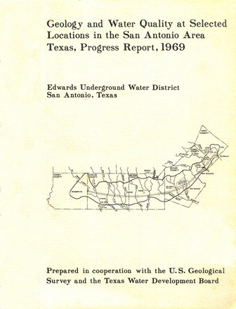
Geology and Water Quality at Selected Locations in the San Antonio Area Texas, Progress Report, 1969

| Author | Reeves RD and Blakey JF |
| Year | 1970 |
| Description | Surface geology and water quality monitoring in the San Antonio region in relation to development and most likely sources of pollution. Note: Page-size and large-format plate are at the end of the report. |
| Report Number | USGS O-FR70-272 |
| Publisher | US Geological Survey |
| Location | Edwards Aquifer, Balcones Fault Zone, San Antonio Segment |
| Cover | View Download |
| File | View Download |
| Summary |
|
The Edwards aquifer is the principal source of water supply for the San Antonio area. Increasing urban development on or adjacent to the recharge area of the aquifer is causing great concern because of possible pollution of the ground water. A detailed map of the surface geology has been prepared for areas where the greatest threat of pollution exists. Water-quality data are being collected throughout the San Antonio area to provide background reference information and to detect any current pollution of the ground water in the Edwards and associated limestones. Mapping of the surface geology will continue in areas where waste waters may be recharging the aquifer. Water-quality data will be collected at additional sites, and some sites will be resampled where pollution may be occurring or where more background data are needed. |
Search for Documents
Advance Search
Explore EAA's Scientific Reports
- All Reports
- RZ Protection
- Aquifer Levels
- Remote Sensing
- Precipitation
- Overview Studies
- Modeling
- Hydrology and Hydrogeology
- History
- Groundwater Recharge, Recharge Zone
- Groundwater Movement
- Geomorphology and Caves
- Weather Modification
- Geology
- Water Use and Conservation
- Geochemistry
- Water Resources Planning and Management
- Floods and Drought
- Water Quality
- Climatology
- Surface Water / Groundwater Relationship
- Biology
- Springs, Groundwater Discharge
- Archaeology
