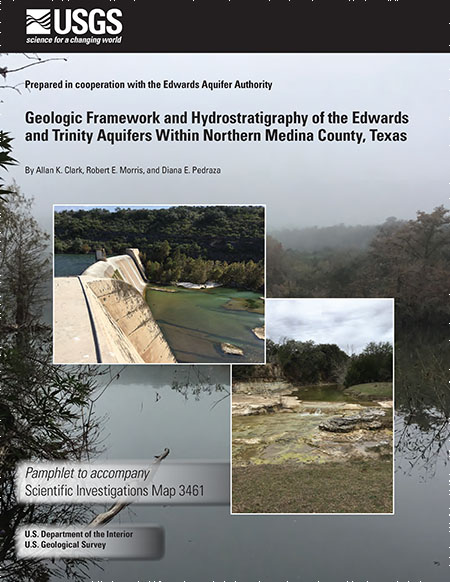
Geologic Framework and Hydrostratigraphy of the Edwards and Trinity Aquifers Within Northern Medina County, Texas

| Author | Allan K. Clark, Robert E. Morris, and Diana E. Pedraza |
| Year | 2020 |
| Description | Geologic framework and hydrostratigraphy of the Edwards and Trinity aquifers within northern Medina County, Texas |
| Report Number | 3461 |
| Publisher | U.S. Geological Survey |
| Location | Medina County |
| Cover | View Download |
| File | View Download |
| Summary |
|
The karstic Edwards and Trinity aquifers are classified as major sources of water in south-central Texas by the Texas Water Development Board. During 2018–20 the U.S. Geological Survey, in cooperation with the Edwards Aquifer Authority, mapped and described the geologic framework and hydrostratigraphy of the rocks composing the Edwards and Trinity aquifers in northern Medina County from field observations of the surficial expressions of the rocks. The thicknesses of the mapped lithostratigraphic members and hydrostratigraphic units were also estimated from field observations. Descriptions of the geologic framework and hydrostratigraphy of the Edwards and Trinity aquifers within northern Medina County are provided, as well as a detailed map of the hydrostratigraphy. In addition to the rocks that compose the Edwards and Trinity aquifers, parts of the adjacent upper confining unit to the Edwards aquifer are described. Compared to the level of detail available in existing geologic maps, the geologic map in this report was prepared at a scale of 1:24,000 to aid water managers as they work to anticipate and mitigate issues related to changing land use and increasing groundwater demands. Read more at the USGS website. |
Search for Documents
Advance Search
Explore EAA's Scientific Reports
- All Reports
- Geomorphology and Caves
- Weather Modification
- Geology
- Water Use and Conservation
- Geochemistry
- Water Resources Planning and Management
- Floods and Drought
- Water Quality
- Climatology
- Surface Water / Groundwater Relationship
- Biology
- Springs, Groundwater Discharge
- Archaeology
- RZ Protection
- Aquifer Levels
- Remote Sensing
- Precipitation
- Overview Studies
- Modeling
- Hydrology and Hydrogeology
- History
- Groundwater Recharge, Recharge Zone
- Groundwater Movement
