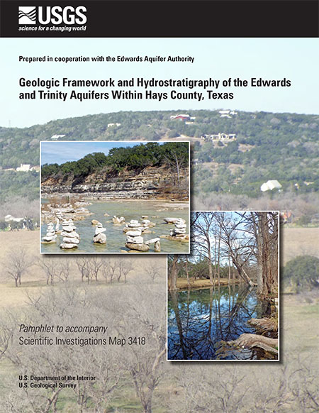
Geologic framework and hydrostratigraphy of the Edwards and Trinity aquifers within Hays County, Texas

| Summary |
|
The Edwards and Trinity aquifers are classified as major aquifers by the Texas Water Development Board and are major sources of water in south-central Texas, where Hays County is located. Detailed maps and descriptions of the geologic framework and hydrostratigraphic units (HSUs) of these karstic aquifers in Hays County are needed for water managers to effectively manage groundwater resources in the area. During 2016–18, the U.S. Geological Survey, in cooperation with the Edwards Aquifer Authority, documented the geologic framework and hydrostratigraphy of the Edwards and Trinity aquifers for a large part of Hays County, characterizing approximately 560 square miles of the county. The report includes a 1:24,000-scale hydrostratigraphic map and descriptions of the geology and HSUs in the study area. In addition, parts of the adjacent upper confining unit to the Edwards aquifer are described. Read more at the USGS website. |
Search for Documents
Advance Search
Explore EAA's Scientific Reports
- All Reports
- Overview Studies
- Modeling
- Hydrology and Hydrogeology
- History
- Groundwater Recharge, Recharge Zone
- Groundwater Movement
- Geomorphology and Caves
- Weather Modification
- Geology
- Water Use and Conservation
- Geochemistry
- Water Resources Planning and Management
- Floods and Drought
- Water Quality
- Climatology
- Surface Water / Groundwater Relationship
- Biology
- Springs, Groundwater Discharge
- Archaeology
- RZ Protection
- Aquifer Levels
- Remote Sensing
- Precipitation
