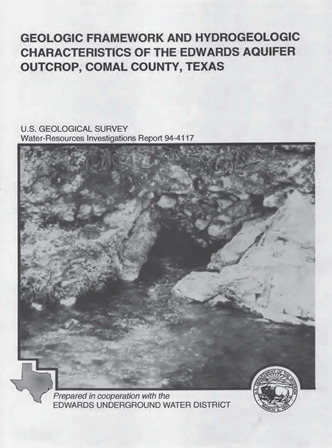
Geologic Framework and Hydrogeologic Characteristics of the Edwards Aquifer Outcrop, Comal County, Texas

| Author | Small TA and Hanson JA (US Geological Survey), In Cooperation with the Edwards Underground Water District |
| Year | 1994 |
| Description | Geologic and hydrogeologic description of the karstic limestone outcrops of the Edwards Aquifer Recharge Zone in Comal County, TX |
| Report Number | USGS WRIP 94-4117 |
| Publisher | US Geological Survey |
| Location | Comal County |
| Cover | View Download |
| File | View Download |
| Summary |
|
All of the hydrogeologic subdivisions within the Edwards aquifer outcrop in Comal County have some porosity and permeability. The most porous and permeable appear to be Hydrogeologic subdivision VI, the Kirschberg evaporate member of the Kainer Formation; Hydrogeologic subdivision III, the leached and collapsed members, undivided; and hydrogeologic subdivision II, the cyclic and marine members, undivided, of the Person Formation. The two types of porosity in the Edwards aquifer outcrop are fabric selective, which is related to depositional or diagenetic elements and typically exists in specific stratigraphic horizons; and not fabric selective, which can exist in any lithostratigraphic horizon. Permeability, the capacity of porous rock to transmit water, depends on the physical properties of the rock such as pore size, shape, distribution, fissuring, and dissolution. Two faults, Comal Springs and Hueco Springs, completely, or almost completely, offset the Edwards aquifer along much of their respective traces across Comal County. Porous and permeable Edwards aquifer limestone is juxtaposed against impermeable upper confining units in these areas. These faults completely, or almost completely, offset the Edwards aquifer and are thought to be barriers or partial barriers to groundwater flow where the beds are juxtaposed. In Comal County, the Edwards aquifer is probably most vulnerable to surface contamination in the rapidly urbanizing areas on the Edwards aquifer outcrop. Possible contamination can result from spills, leakage of hazardous materials, or runoff onto the intensely faulted and fractured, karstic limestone outcrops characteristic of the recharge zone. |
Search for Documents
Advance Search
Explore EAA's Scientific Reports
- All Reports
- Water Use and Conservation
- Geochemistry
- Water Resources Planning and Management
- Floods and Drought
- Water Quality
- Climatology
- Surface Water / Groundwater Relationship
- Biology
- Springs, Groundwater Discharge
- Archaeology
- RZ Protection
- Aquifer Levels
- Remote Sensing
- Precipitation
- Overview Studies
- Modeling
- Hydrology and Hydrogeology
- History
- Groundwater Recharge, Recharge Zone
- Groundwater Movement
- Geomorphology and Caves
- Weather Modification
- Geology
