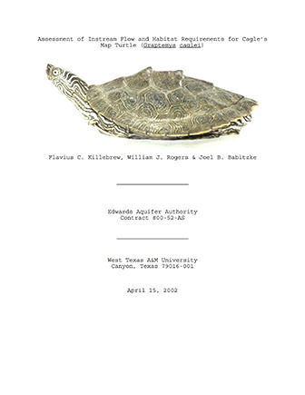
Assessment of Instream Flow and Habitat Requirements for Cagle’s Map Turtle (Graptemys caglei)

| Author | FC Killebrew, WJ Rogers and JB Babitzke |
| Year | 2002 |
| Description | Field study on population and habitat of Cagle’s Map Turtle and factors affecting them, including instream flow requirements, water quality, and benthics |
| Publisher | West Texas A&M University |
| Location | Guadalupe River |
| Cover | View Download |
| File | View Download |
| Summary |
|
The purpose of this study was to investigate the instream flow requirements and basic habitat characteristics of the Cagle’s Map Turtle in the Guadalupe River system. The study area was from the upper Guadalupe River (near Ingram) to the lower Guadalupe River (near Tivoli ). The turtle’s population appears to be steady (declining in one area), based on comparisons of population data from this study with that of other studies. The Cagle’s Map Turtle appears to be impacted by physical obstructions in the river more than by varying flow regimes. The study was completed in April 2002 by West Texas A&M University, Canyon, Texas. [From Introduction] The objectives of the study were to: [From Discussion] Below Geronimo Creek and the outfall from the City of Sequin a fine precipitate was found on the substrate. Benthic organism density and diversity was reduced in the area. Surber sample results revealed that as the sediments decreased downstream, both benthics and Graptemys caglei populations increased. The traditional water quality parameter list is effective in monitoring nutrient loading and potential for fecal and waste contamination but the list does not address a wide array of inorganic and organic chemicals that could have an effect on the stream ecosystem such as pesticides and herbicides used on lawns and recreational areas. Additional research is needed to determine why benthic diversity and abundance and Graptemys caglei populations decrease below these areas. Other factors such as disturbance by recreational activities, shooting and periodic habitat disturbance by construction in the streambed and the use of temporary coffer dams should be addressed. |
Search for Documents
Advance Search
Explore EAA's Scientific Reports
- All Reports
- Surface Water / Groundwater Relationship
- Biology
- Springs, Groundwater Discharge
- Archaeology
- RZ Protection
- Aquifer Levels
- Remote Sensing
- Precipitation
- Overview Studies
- Modeling
- Hydrology and Hydrogeology
- History
- Groundwater Recharge, Recharge Zone
- Groundwater Movement
- Geomorphology and Caves
- Weather Modification
- Geology
- Water Use and Conservation
- Geochemistry
- Water Resources Planning and Management
- Floods and Drought
- Water Quality
- Climatology
