 Conditions
Science & Data Document Library
Science and Data Resources
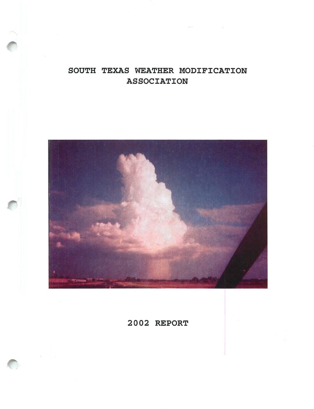
South Texas Weather Modification Association 2002 Report
Description: Report of the Edwards Aquifer Authority weather modification program for 2002
Location: South Texas
Summary:STWMA entered year number six in operations in 2002. With a fresh new radar office in place, we eagerly awaited the first day of seedable weather. It wasn't until mid-April before this took place, but what a start: intense thunderstorms developing right over the radar site, prompting warnings by the NWS. Some seeding of this activity took place, and with that, we were well on our way to what would hopefully be a busy year of rainfall enhancement.
We welcomed two pilots to the association in the spring. Ron Merks, who worked with the program back in 1997-98 when AI was running operations, joined us once again in 2002. In addition, Mickey Chadwell, a flight instructor at Stinson Field, trained with us this year to become STWMA's fifth and newest pilot. With the additional pilots, there came another Comanche. N57AA, also referred to as Strawberry Five or Lipstick Queen due to its iridescent pink paint, was purchased in the spring and became operational in June.
With the departure of WMI from the EAA Weather Modification project, seeding to our north was halted by the end of 2001. The EAA, however, was still interested in having a weather modification program in some of the counties. Working with the STWMA and the SWTREA (Cotulla) programs, they developed a contract whereupon the STWMA would annex the counties of Bandera, Bexar and Medina into the target area for the May-September period, and the SWTREA would acquire Uvalde County. This was to be a three-year contract, with one of the planes (N57AA) being located at Stinson Field in south San Antonio.
The idea to develop a mini-mesonet of weather stations across the target area became reality this past year, when several Davis Wireless Weather Stations were purchased . One station was allotted per county, except for Bexar and Medina, where observation sites already exist (San Antonio, Hondo). The stations were to be set up with each transmitting real-time conditions to the STWMA web page every 10 minutes. It took the rest of the year to set up the stations, with a few glitches occurring along the way. It will be a work in progress, but several of the stations are already in place and successfully sending information to the web page (http: //www.southtexasweathermodification.com), where a daily discussion and five-day forecast are also located.
Our hopes of having a busy year of seeding went down the river, so to speak, when an upper level low parked itself over the area from the end of June into the first part of July. Tapping into abundant tropical moisture, torrential rainfall began on June 30th and continued into the first week of July. Some parts of the target area, mainly the northern half, received over two feet of rain in a 10-day period. This caused extensive flooding across the area, with rivers unable to handle the deluge of water. As such, seeding was suspended from July 1st until the second week of August, when the soils were finally dry enough and rivers were down below bank-full levels. Another system in early September brought another one to two feet of rain to parts of the target area, so seeding was suspended once again. As a result of these two flooding events, the 2002 season saw the fewest number of seeding missions in its history. This outcome was bittersweet; we missed several convective events, but the long-term drought was broken with the extended period of heavy rainfall.
STWMA gained some recognition with the media in 2002. In mid-June, Wallpaper magazine, based out of London and distributed worldwide, came over to Pleasanton and learned more about weather modification in south Texas. We were featured in their September issue. In late June, the EAA set up a media day where the different TV/radio/newspaper networks in San Antonio and surrounding areas came down to see how cloud seeding operations were done and learn a bit more about the program. STWMA was featured on the local FOX, ABC and NBC stations as well as radio stations WOAI (San Antonio) and KBUC (Pleasanton).
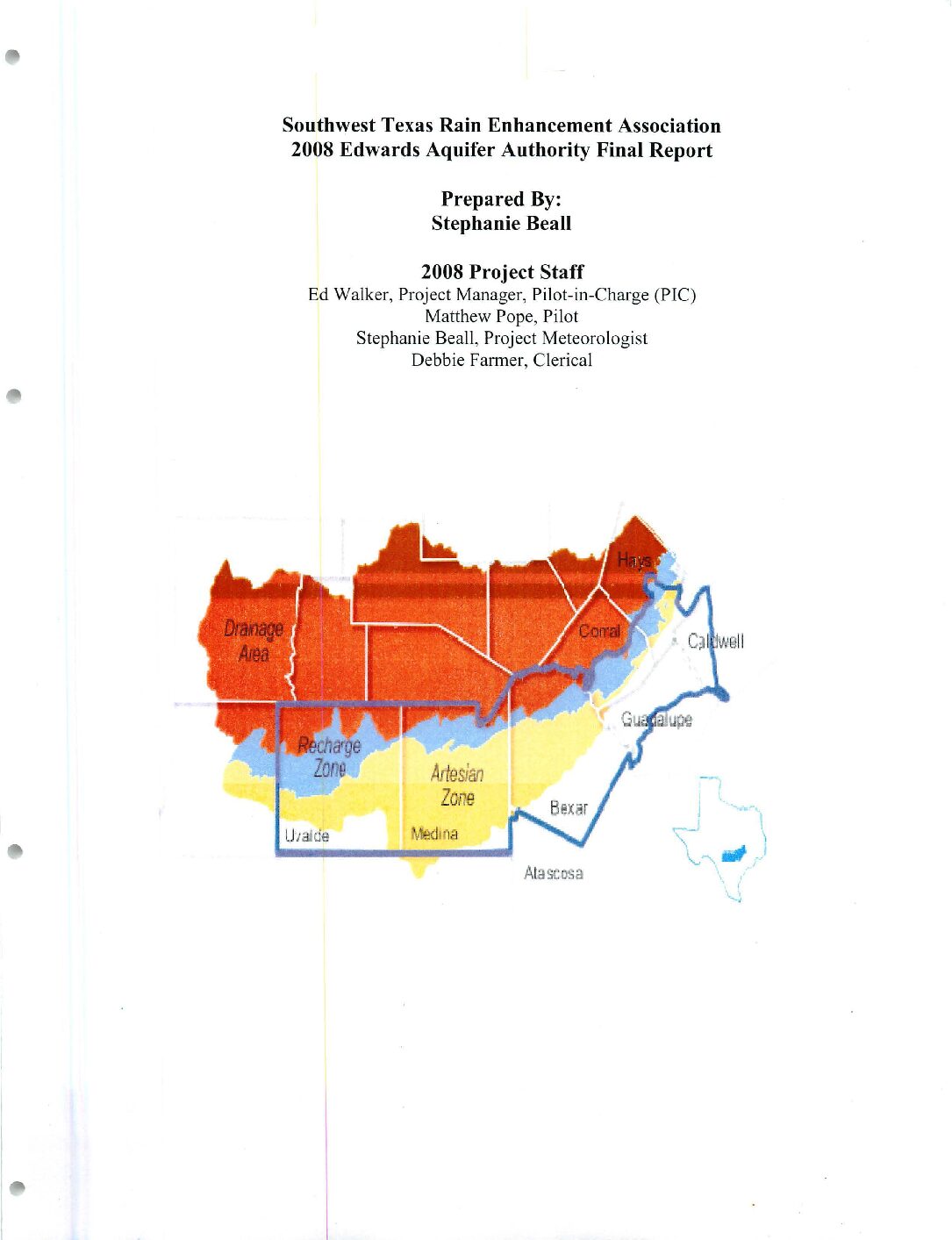
Southwest Texas Rain Enhancement Association 2008 Edwards Aquifer Authority Final Report
Description: Weather modification program by Southwest Texas Rain Enhancement Association for the Edwards Aquifer Authority in 2008
Location: South Central Texas
Summary:2008 marked the seventh year of operations for the Edwards Aquifer Authority (EAA) by the Southwest Texas Rain Enhancement Association (SWTREA). The project this year was business as usual, with seeding taking place in Uvalde County from May until September. Most of South Texas and the counties within the Aquifer saw a very dry year in 2008.
Seeding in the Authority target area of Uvalde County saw a total of five flights for the 2008 operational year, two of which were reconnaissance flights.
2008 was the second year of a three year randomized seeding experiment. The randomized seeding experiment was also conducted by the EAA's other weather modification contractor, the South Texas Weather Modification Associationi(STWMA). The objective of randomized seeding operations for the Edwards Aquifer Authority was to select clouds that met the criteria for suitable seeding candidates. This was seeding at random, and from that point, measurements and observations were taken to determine if seeding had an effect on the cloud. The experiment was double blind so that ground operations staff would not know which clouds were seeded and which were not seeded due to bias that could occur.
At the September 30th conclusion of the 2008 operational season for the EAA target area, a radar evaluation was completed for the program. The findings arc presented and discussed towards the end of this report. The flight logs for the 2008 seeding season are listed
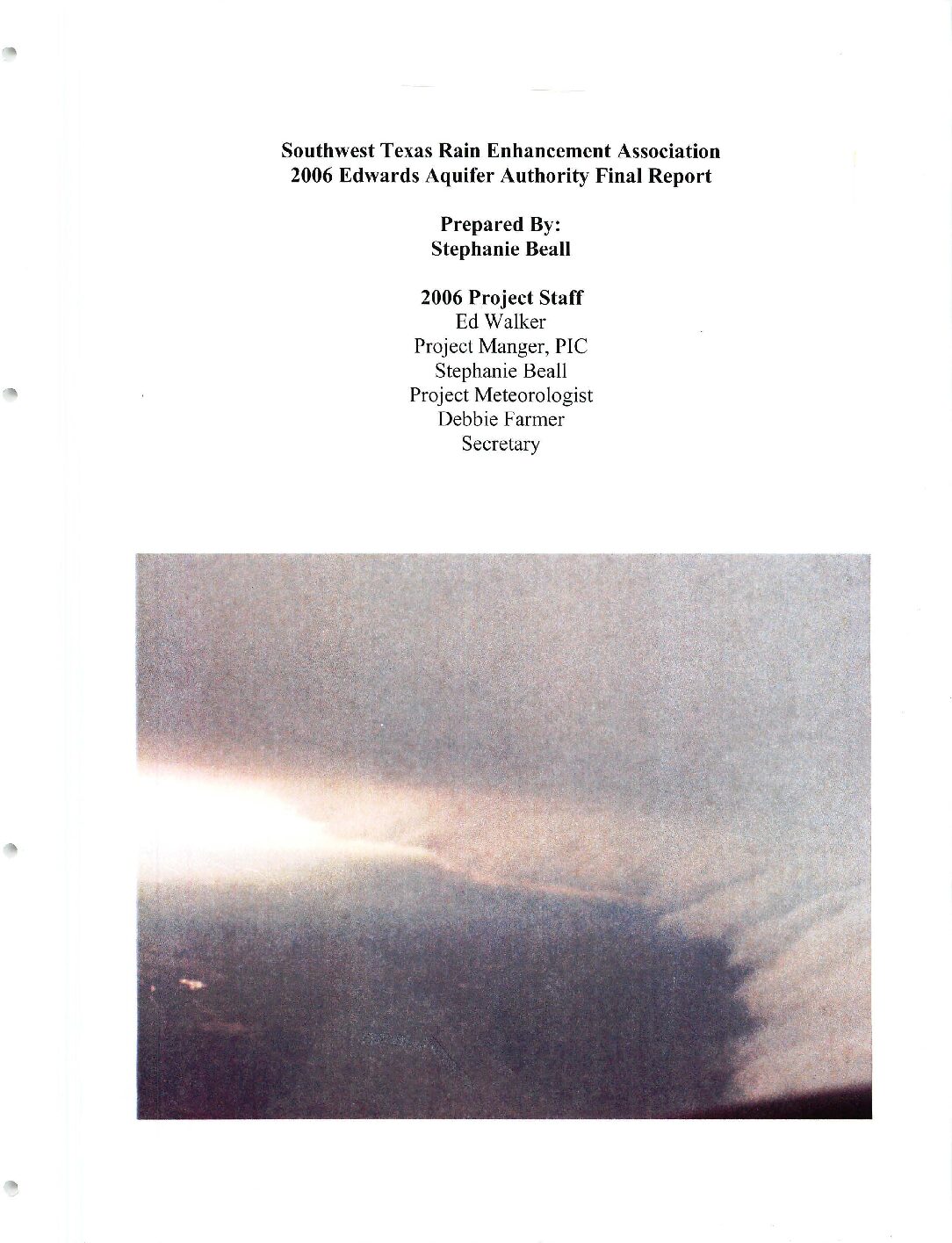
Southwest Texas Rain Enhancement Association 2006 Edwards Aquifer Authority Final Report
Description: Report of the Edwards Aquifer Authority weather modification program for 2006 in Uvalde, Medina and Bandera Counties
Location: Uvalde County, Medina County, Bandera County
Summary:2006 marked the fifth year of operations for the Edwards Aquifer Authority (EAA) by the Southwest Texas Rain Enhancement Association (SWTREA). The project this year was business as usual, with seeding taking place in Uvalde County from May until October. There was caveat this year. Due to the continuing drought of most of South Texas, seeding missions were hard to come by throughout most of the year. A few months of the year did see increased activity, but the majority of it was hot and dry.
Drought conditions did tend to improve towards the latter part of the year with the development of a moderate El Nino episode in the South Pacific off the coast of South America. When El Nino's tend to develop, the southern half of the United States tend to benefit greatly from the increase intensity of the subtropical jet.
Seeding in the Authority target area of Uvalde County saw a total of twenty flights for the 2006 operational year compared to twenty flights in 2005. Also, with the continued cooperation between the two seeding projects, SWTREA flew a total of two missions in Medina County and one in Bandera County for the South Texas Weather Modification Association (STWMA). As seen above, there were more missions in 2005 than 2006, due to the lack of convection across the Aquifer area. Most of the systems seeded in the EAA target were classified as small clouds, or systems that were not large in area. 2006 was very dry for most parts of Texas as a whole. For the most part, a very aggressive seeding approach was taken over Uvalde County during the year due to the drought that was classified as severe to exceptional across the area.
At the conclusion of the 2006 operational season for the Authority EAA target area, October 31st a radar evaluation was completed for the program. The findings are presented and discussed towards the end of this report. The flight logs for the 2006 seeding season are on the following page.
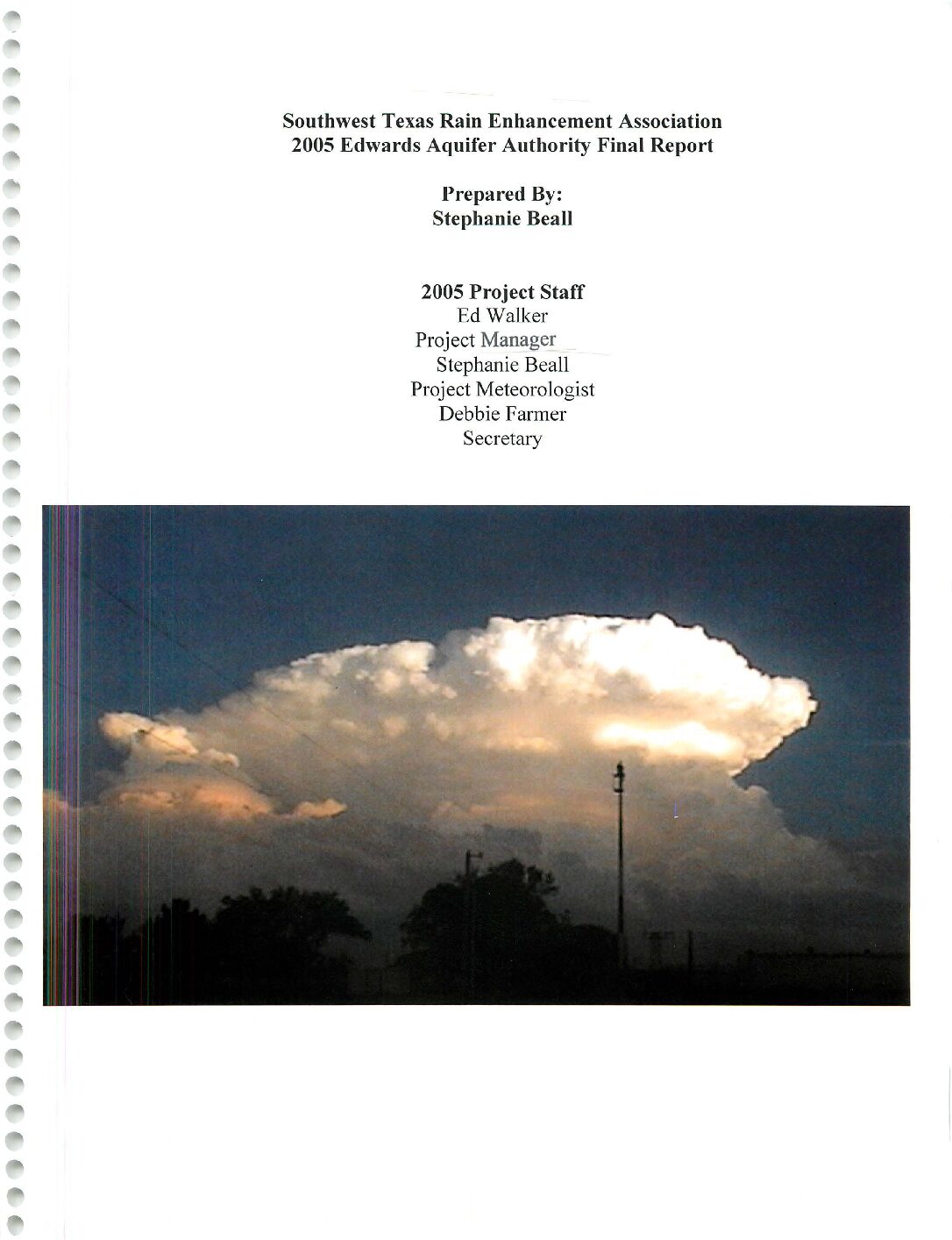
Southwest Texas Rain Enhancement Association 2005 Edwards Aquifer Authority Final Report
Description: Report of the Edwards Aquifer Authority weather modification program for 2005 in Uvalde and Medina Counties
Location: Uvalde County, Medina County
Summary:2005 marked the fourth year of operations for the Edwards Aquifer Authority (EAA) by Southwest Texas Rain Enhancement Association (SWTREA). The 2005 seeding season was an interesting one in terms of staff. The project under went [sic] some changes in terms of where planes and pilots were. The pilot and plane that was [sic] stationed in Uvalde County were moved to San Antonio at Stinson airport. A pilot from the South Texas Weather Modification Association (STWMA) project was used mainly for seeding in Uvalde County. The other two planes were stationed in Carrizo Springs. This pilot occasionally was used for seeding in Uvalde County. During the 2005 season, the cooperation between SWTREA and STWMA continued as SWTREA used pilots stationed in San Antonio for seeding operations. The working relationship between the two projects has allowed both projects to benefit.
Seeding in the Authority target area of Uvalde County saw a total of 21 flights for the 2005 operational year compared to 15 flights in 2004. Also, with the continued cooperation between the two seeding projects, SWTREA flew a total of 6 missions in Medina County.
Five of these missions were flown in addition to another mission that was already taking place. One mission was launched specifically for Medina County due to technical difficulties with the SWTMA project on this particular day. As seen above, there were more missions in 2005 than 2004. 2005 was very dry for most parts of south Texas. As written in last year's report, seeding operations in 2004 were suspended for most of June due to excessive flooding across the area. However, when making a comparison with 2003, things seem more normal with a total of 20 flights in 2003.
At the conclusion of the 2005 operational season for the Authority EAA target area, October 31st, a radar evaluation was completed for the program. The findings were presented and discussed towards the end of this report.
The flight logs for the 2005 seeding season are below. This is just for Uvalde County. A separate table will be included for the seeding done in Medina County.
Southwest Texas Rain Enhancement Association 2004 Edwards Aquifer Authority Final Report
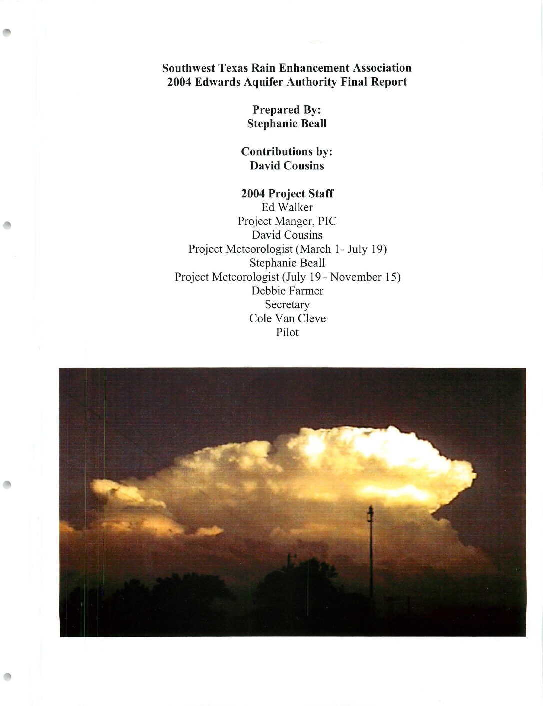
Description: Report of the Edwards Aquifer Authority weather modification program for 2004 in Uvalde County
Location: Uvalde County
Southwest Texas Rain Enhancement Association 2003 EAA Final Report
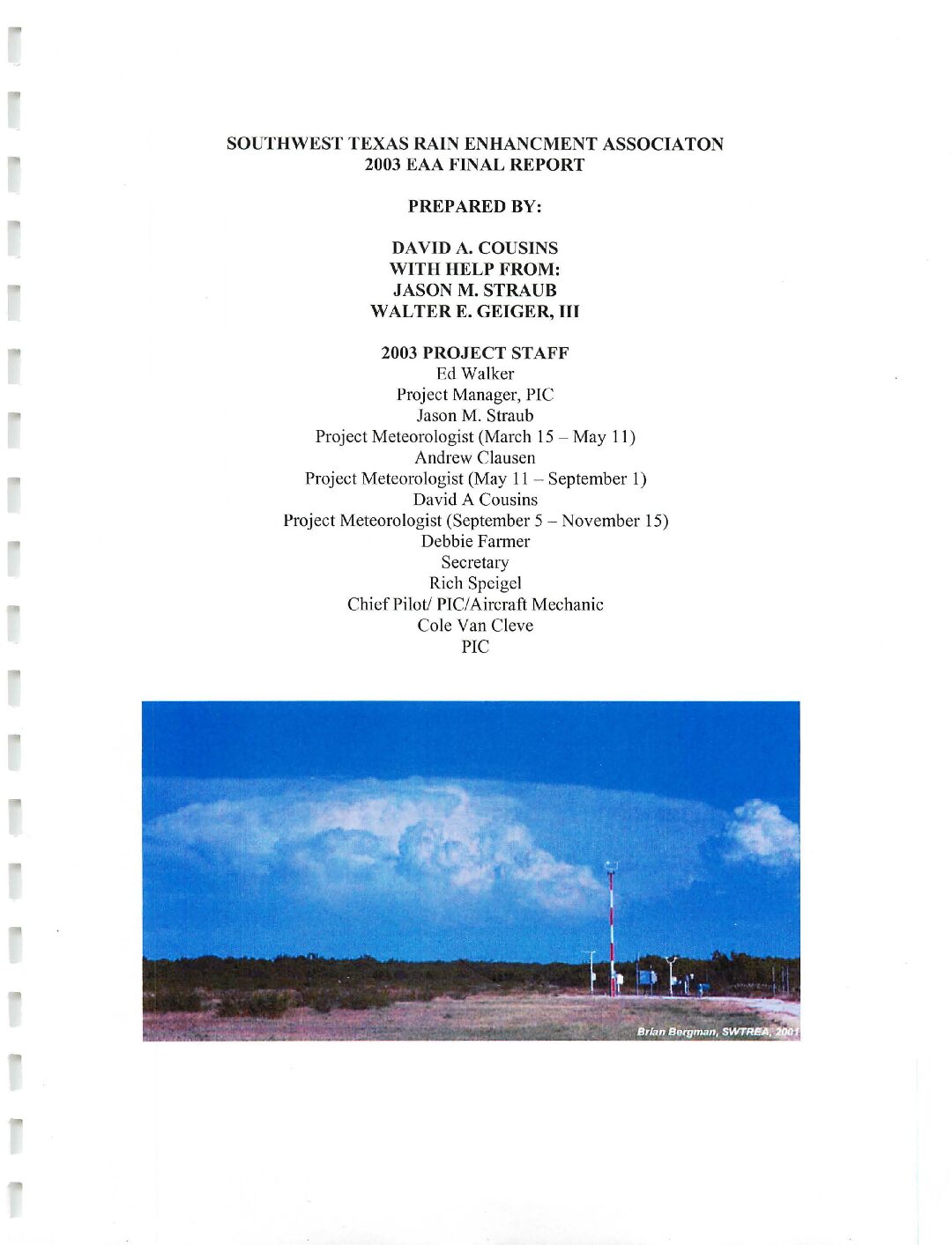
Description: Report of the Edwards Aquifer Authority weather modification program for 2003 in Uvalde County
Location: Uvalde County
Summary:The Southwest Texas Rain Enhancement Association has just now completed its fifth year of operations and the third full year of 24-hour 7-day per week cloud seeding. This was a very active year weather wise. There were 100 flights during this year's 8-month season. Of the 100 flights, 28 (20 during the contracted season with the Edwards Aquifer Authority) took place over Uvalde County. The SWTREA continued to serve as a demonstration program to many of the other weather modification programs in Texas demonstrating effective rain enhancement and hail suppression techniques on many different types of storms at any time of the day or night.
As per table 7 on page 30, one can see that the 2003 was more active in terms of the number of flights taking place over Uvalde County than the 2003 season. Again the total number of flights in 2003 were [sic] 20 as compared to 17 in 2002. One can [sic] Also when you compare the 2003 total season rainfall for May through October with the same total for the 30 year average precipitation one will find that the rainfall for 2003 was slightly above normal for Uvalde County. One can also [sic] This is supported by the Ruiz Assessment in Appendix A, which shows that an additional 36.733-acre feet of rainfall was created for Uvalde County from cloud seeding activities.
Further more [sic], by looking at the Ruiz Assessment in Appendix A, one can see that the SWTREA aircraft were on time for 87% of the small clouds and 100% on time for large clouds, which formed inside the target area. Timing for type B clouds, clouds that formed outside the target area and are at least 1-hour old, was 48%. The reader may ask why is there such a large on time difference in timing for clouds that form inside the target area and Type B clouds. This is due to the fact that the project must wait for the cloud to enter the operational area to be legally seeded. Therefore one can quickly see that the proper procedure for delivering the agent in the first half-life of the cloud is often not possible. The reader can then infer that the poor timing on type B clouds is often beyond our control.
Final Report-2002/A Weather Resources Management Program/A Summary of Cloud Seeding Activities Conducted over Six Counties in South Texas During the Period 15 March-15 November 2002
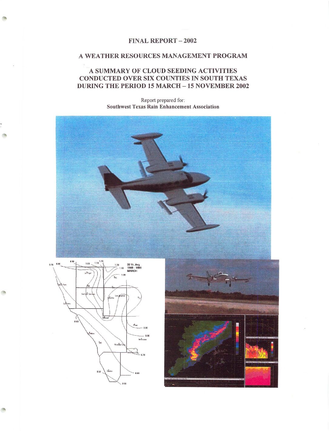
Description: Report on rain enhancement by the Southwest Texas Rain Enhancement Association for 2002
Location: Southwest Texas
Summary:The Southwest Texas Rain Enhancement Association has now completed its fourth year of operations and the second full year of 24-hours a day 7-day per week seeding. This year was a year of ups and downs, with the season starting slowly, then becoming very active. The program performed almost 100 flights during the eight month season. The program has now focused on establishing a long-term weather modification program for the participating counties for many years to come. This year, the SWTREA in many respects again served as a demonstration program to many of the other weather modification projects in Texas by demonstrating effective rain enhancement and hail suppression seeding on any type of storm at any given hour of the day. We look forward to another aggressive seeding season in 2003.
Operations Report on a Cloud Seeding Program for the Edwards Underground Water District NAWC WM-86-6
Description: Summary of the weather modification program by North American Weather Consultants for the Edwards Underground Water District in 1986
Report Number: NAWC WM-86-6
Location: South Central Texas
Summary:North American Weather Consultants completed its second weather modification program for the Edwards Underground Water District. The program ran from April 1, 1986 to September 30, 1986. The program was based in Uvalde, Texas where the weather radar, aircraft, and program director resided.
Seeding operations were performed on days and used a total of 19,368 grams of silver iodide. A total of 85.4 aircraft hours and 981 weather radar hours were logged during the program.
The project experienced dry conditions during July and the first half of August. Operational potential was further reduced by seeding suspensions due to excessive soil moisture content, as June was a wet month.
No evaluation of seeding effectiveness has been attempted in this operations report. A target-control type evaluation is possible, although the precipitation data for such an evaluation is delayed several months until it becomes available from the National Oceanic and Atmospheric Administration. Even if the data were available, the determination of a seeding effort for a one or two year project is difficult due to the large natural variability in precipitation coupled with the expectation of a relatively small seeding signature (10 -20 percent). Normally, several years are required to document such a seeding effect with any degree of statistical significance.
NAWC nonetheless believes, however, that this seeding program was effective. This belief comes from experience on similar projects in other areas such as one long term program that has been conducted by the Colorado River Municipal Water bistrict near Big Spring, Texas. Even though there were a number of seeding suspensions on the Edwards program during the summer of 1986, considerably more seeding was accomplished on the project than the first year of operations in 1985.
Edwards Aquifer Precipitation Enhancement Program Final Report 2000
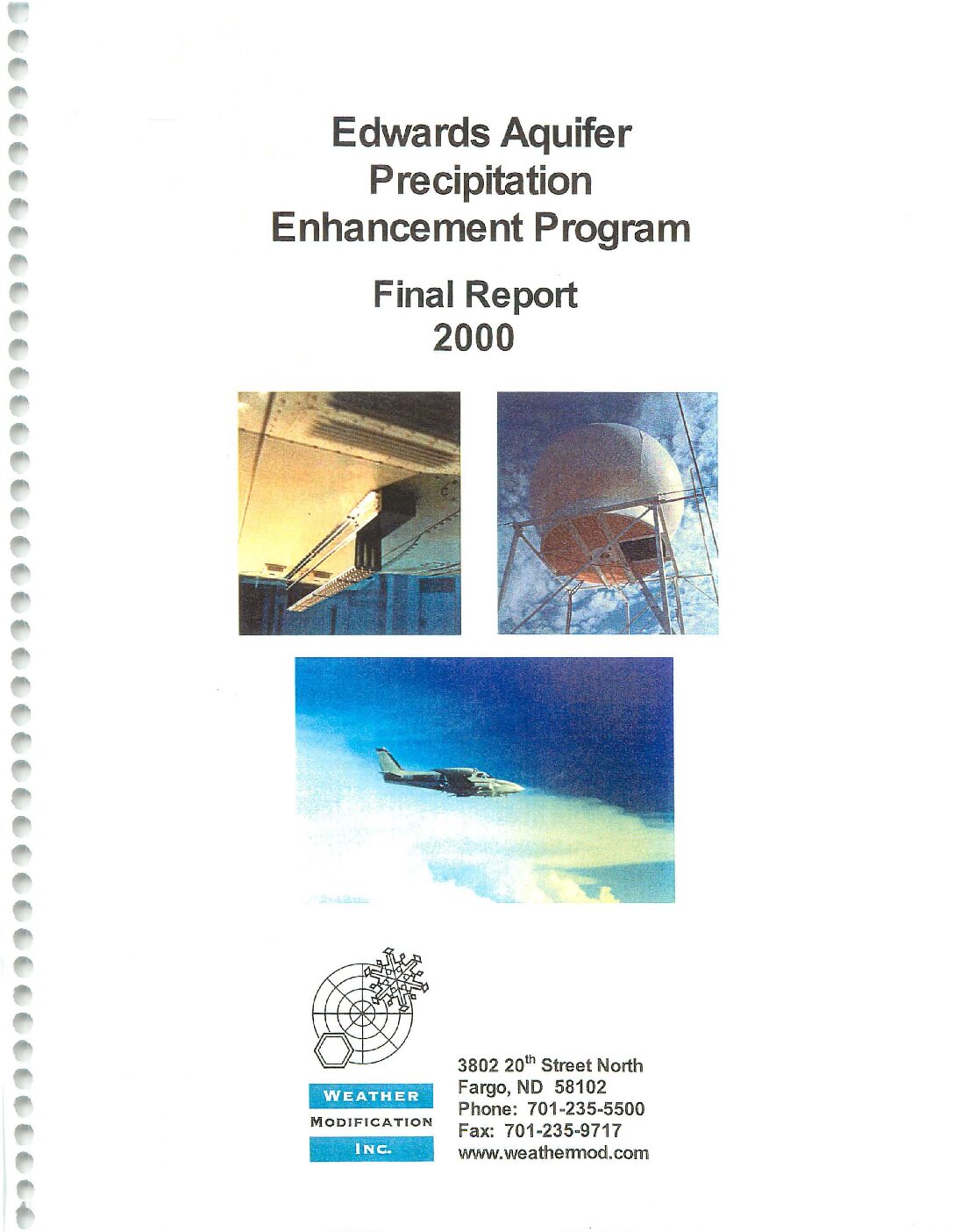
Description: Summary of the Edwards Aquifer Precipitation Enhancement Program for 2000
Location: South Central Texas
Summary:This report summarizes the activities and data collected during the 2000 field operations of the Edwards Aquifer Precipitation Enhancement Program. This was the second year of a program conducted by Weather Modification Inc. {WMI) of Fargo, North Dakota, for the Edwards Aquifer Authority (the Authority) of San Antonio, Texas. The program was funded by the Texas Natural Resource Conservation Commission and the Authority, with the sole intent being enhancement of precipitation through cloud seeding. The project area was 6.37 million acres across south Texas, covering all or parts of 12 counties including Real, Uvalde, Kerr, Bandera, Medina, Kendall, Bexar, Blanco, Comal, Hays, Guadalupe, and Caldwell. Seeding operations were conducted 24 hours-a-day, seven days-a-week from March 1st through November 30th.
The facilities and procedures for this project were as follows. One C-band weather radar, computers, and a communications system were set up in Hondo, Texas, to monitor storms and control aircraft. The radar operated continuously throughout the nine-month period. The storms, as detected by radar, were posted on the WMIIntemet Home Page at 3D-minute intervals, thus allowing remote near real-time viewing of operations. Two specially equipped cloud seeding aircraft were dedicated to the project; both were stationed at the centrally located Hondo Regional Airport in Hondo, Texas. This maximized coverage of the target area and minimized response times.
New and improved formulations of silver-iodide pyrotechnics and acetone solutions were used to generate high concentrations of very fast acting ice-nuclei. High performance aircraft crewed by experienced pilots and directed by experienced radar meteorologists treated developing regions of the storms by direct injection of the seeding agents.
The 2000 field program successfully achieved its objective, to seed those cells thought to have the potential to produce precipitation. During the nine-month project, the two aircraft safely completed 82 flights totaling 218.80 hours. A total of 29.3 kg of seeding agent was dispensed in the form of 1,144 ejectable flares and 1 06 gallons of silver iodide acetone solution, which was burned in wing-tip generators.
This final report for 2000 provides a general overview of the program and describes the methodology used. Pictures, tables, graphs, and references are used to summarize the operational activities. All of the project's radar data, meteorological data, and reports (weekly operations summaries and monthly reports) have been recorded onto CD-ROM and are available to the Authority.
Edwards Aquifer Precipitation Enhancement Program Final Report 1999
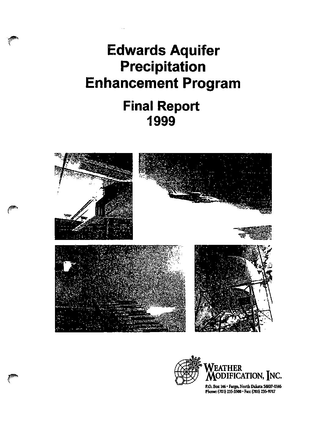
Description: Summary of the Edwards Aquifer Precipitation Enhancement Program for 1999
Location: South Central Texas
Summary:This report summarizes the activities and data collected during the 1999 field operations of the Edwards Aquifer Precipitation Enhancement Program. This was the first year of a projected long-range program conducted by Weather Modification Inc. (WMI) of Fargo, North Dakota, for the Edwards Aquifer Authority (the Authority) of San Antonio, Texas. The program is funded partially by money from the Texas Natural Resource Conservation Commission, with the sole intent to enhance precipitation through cloud seeding. The project area was 5.44 million acres across south Texas, covering all or parts of 12 counties including Real, Uvalde, Kerr, Bandera, Medina, Kendall, Bexar, Blanco, Comal, Hays, Guadalupe, and Caldwell. A 24 hours per day, seven days per week cloud seeding service was provided from April 15th through September 15th.
The facilities and procedures for facilitating this project were as follows. One Cband weather radar, computers, and a communications system were set up in Hondo, Texas, for storm monitoring and aircraft control purposes. The radar operated continuously throughout the five-month period. Radar pictures were available and posted on the WMI Internet Home Page at 30-minute intervals, thus allowing remote viewing of operations. Two specially equipped cloud seeding aircraft were dedicated to the project. Both aircraft were stationed at the Hondo Regional Airport in Hondo, Texas, to provide adequate coverage of the target area and minimum response time to potential seeding candidates.
New and improved formulations of silver-iodide pyrotechnics and acetone solutions were used to generate high concentrations of very fast acting ice nuclei. High performance aircraft with experienced pilots and radar meteorologists provided fast response and the direct injection of the seeding material into the developing regions of the storms.
The 1999 field program successfully achieved its objective, to seed cell with the potential to produce precipitation. During the 5-month project, the two aircraft completed 65 missions totaling 174.9 flight hours and dispersed 37.5 kg of silver iodide. The 37.5 kg of silver iodide comes from a total of 1,826 ejectable flares and 15 gallons of silver iodide- acetone solution from wing-tip generators used during the project.
The year can best be characterized as one with many low intensity thunderstorms and a few of days with very severe, long-lived, high intensity storms. Concerns voiced during the project period were that there were clouds overhead and the planes were not. During much of the summer a strong high-pressure cell was located over the southern High Plains. Although there were numerous cumulus type clouds on most days, they were of the fair weather variety and had no potential to produce precipitation. Cloud modification cannot initiate the convective process but can aid it once convection begins. During each occasion with the potential for rainfall enhancement, seeding aircraft were dispatched to those areas within the target area.
This final report for 1999 provides a general overview of the program describing the methodology used. Pictures, tables, graphs, and references are used to summarize the operational activities. All of the project's radar data, meteorological data, and reports have been recorded onto CD-ROM and are available to the Authority.
Assessment of the Effect of Cloud Seeding in the Edwards Aquifer Target During the 1999, 2000 and 2001 Seasons

Description: Assessment of the weather modification program by the Edwards Aquifer Authority for the 1999 2001 seasons
Report Number: EAA Contract No. 01-68-PC
Location: South Central Texas
Summary:This is the Final Report from Woodley Weather Consultants (WWC) to the Edwards Aquifer Authority (EAA) under Contract 01-68-PC between WWC and the EAA. The [sic] has entailed a comprehensive evaluation of project operations for the 1999, 2000 and 2001 seasons, including the seeding flights, record-keeping and data management procedures. WWC has also made an assessment of the effect of seeding in and downwind of the EAA target using a new, objective, comprehensive, computer-based method of evaluating operational cloud seeding programs. Finally, daily gauge vs. radar rainfall comparisons were made for the new EAA gauge network for the 2001 season.
The operational review determined that project documentation and data handling were good during the 1999, 2000 and 2001 seasons.WWC made a major breakthrough under the contract in its efforts to develop an objective and comprehensive method of evaluating the operational cloud seeding programs on an area basis in Texas. The new procedures have been applied to the Edwards Aquifer project for the 1999, 2000 and 2001 seasons and the results are documented in considerable detail herein.
Further analysis provided additional insights into the effects of seeding. Although the response diminished with time, it seemed to persist in many cases for up to 8 hours. If the units are moving, this means that the effect of seeding is not limited to the boundaries of the target but rather extends outside the target downwind. Thus, those living outside a seeding target in a region that is normally downwind of the seeding activity are benefiting from the enhanced rainfall without having to pay for it.
The results of the Edwards project to date warrant its continuation, although there is considerable room for improvement, particularly in initiating seeding at the time and place it will be most effective. The Edwards target seems too large for two seeding aircraft. Either the target size should be reduced or the number of seeding aircraft increased for maximum seeding effectiveness. If picking the former option, the seeding should be focused on the portion of the target where it will do the most good. With respect to the Edwards target this would appear to be in the recharge zone for the Edwards Aquifer in the western and northwestern portions of the target. More seeding should be done over longer time periods. Night seeding should be done, if it can be done safely and efficiently.
Since then, the EAA governing board decided to continue its seeding program for the 2002 season by providing financial support to the South Texas and Southwest Texas operational seeding programs to seed the western portion of the EAA target, constituting the major recharge zone for the Edwards Aquifer. The benefit to cost ratio after three seasons of cloud seeding of nearly 12 to 1, supports this action. Upon considering this apparent benefit, the obvious recommendation is that the seeding program should continue, and the action for the 2002 season is consistent with this recommendation.
The installation and activation in 2001 of the EAA recording rain gauge network was a major milestone for the seeding project and for the EAA overall, permitting documentation of systematic radar underestimation of the aquifer rainfalls by about 56%. Adjustment upward of the Edwards Aquifer radar rainfall estimates by 56% brought them into better agreement with rainfall estimates elsewhere in Texas. In addition, this adjustment facilitated a more realistic estimate of project benefits relative to its costs. This rain gauge network is now a major asset to the EAA and the resources needed to keep it in good working order should be expended. Finally, it is recommended that the data generated by the EAA cloud seeding effort be used to relate radar-estimated, gauge-adjusted, target rainfalls to recharge of the Edwards Aquifer. This can be done in any time frame for areas of any size in the Edwards Aquifer. Knowing how the Aquifer responds to rainfall as a function of its intensity, duration, total amount, and location will make it possible to focus cloud seeding activities on the portions of the Aquifer that will be most beneficial. The development of rainfall vs. recharge relationships based on years of observations also will be valuable to the development of realistic hydrological models for the Edwards Aquifer.
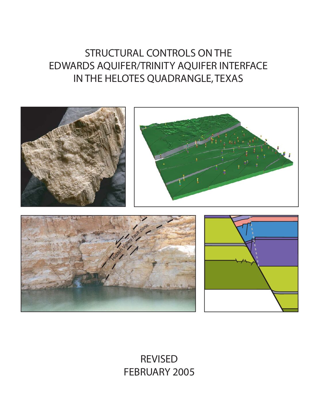
Structural Controls on the Edwards Aquifer/Trinity Aquifer Interface in the Helotes Quadrangle, Texas
Description: Structural analyses for geologic framework model of the Helotes Quadrangle around the intersection of the Edwards and Trinity Aquifers
Location: Edwards Aquifer, Balcones Fault Zone, San Antonio Segment, Trinity Aquifer, Bexar County
Summary:The purpose of this study was to generate a three-dimensional geologic model of the Edwards Aquifer and Trinity Aquifer in the area of the Helotes Quadrangle and to assess the potential for hydraulic communication across the interface between the two aquifers. the study was completed in February 2005 by Southwest research Institute, San Antonio, Texas.
[Executive Summary]
The purpose of the project reported here is to characterize the structural architecture of the Edwards and Trinity Aquifers in the area of the Helotes 7 ½ minute quadrangle. Included in this analysis are tasks to generate a three-dimensional computer model (geologic framework model) of the Edwards and Trinity Aquifers, and perform field investigations to characterize the mechanisms and products of localized fault-related deformation in the Edwards and Trinity Aquifers in and near the study area. An important objective is to analyze the potential for groundwater flow from the Trinity Aquifer to the Edwards Aquifer, taking into account fault-related deformation and juxtaposition of the aquifers across key faults.
Results of the project show the aquifer architecture throughout the study area, the location and interpreted geometry of the most important mapped faults in the study area, and the deformation mechanisms and deformation style in fault zones in the rocks of both the Edwards and Trinity Aquifers. The three-dimensional geologic framework model of the Helotes area reveals: (i) juxtaposition of permeable and relatively impermeable hydrogeologic units, (ii) structural thinning of the Edwards and Trinity Aquifers, (iii) potential for cross-fault communication between the Edwards and Trinity Aquifers, (iv) faults expressed on the surface as potential infiltration pathways, and (v) maximum offset concentrated along a small number (two or three) faults. This information, along with an understanding of fault zone deformation mechanisms and the role of fault zones as barriers or conduits, can assist in locating environmentally sensitive areas. It is useful for aquifer water flow path studies and contributes to the identification of areas where communication between the Trinity and Edwards Aquifers is suspected. In this geologic framework model, the Edwards and Trinity Aquifers and associated confining layers are subdivided into 12 stratigraphic units which are offset by a network of 30 faults. Vertical offset (fault throw) ranges from near zero to an approximate maximum of 178 meters (584 ft). Displacement sense is normal, commonly down to the southeast, and lateral throw gradients are generally small (0.002 to 0.015), although locally may be as high as 0.03. In map view, fault blocks are elongate, with the long axis commonly oriented NE-SW. Maximum offset is concentrated along two major fault systems; one fault, the Haby Crossing fault, has a maximum throw of about 178 m (584 ft) and juxtaposes virtually the entire Edwards Group stratigraphic section with rocks of the Glen Rose Formation beneath the City of Helotes. The Diversion Lake fault cuts across the NW corner of the Helotes Quadrangle, and has amaximum throw of 68 m (223 ft) within the quadrangle area.
In general, normal faults of all displacements decrease the effective aquifer thickness. This structural thinning of aquifer layers can cause flow constrictions, which in turn may divert flow and cause fluctuations in the local water table from fault block to fault block. Areas of such flow constrictions can be identified using a map of fault throw distribution; constriction is likely greatest where fault throw is greatest.
The large displacement on the Haby Crossing fault within the Helotes quadrangle may be significant for direct communication between the Edwards Group and Glen Rose Formation in this area. Also important, this large displacement on a single fault is responsible for dropping the Edwards Aquifer from hilltop exposures north of the Haby Crossing fault, to mostly buried (confined) on the south side.
Consequently, this large-displacement fault results in a local narrowing of the area designated as Edwards Aquifer recharge zone. 3DStress„¢ analyses of measured faults and regional stratigraphic thicknesses based on published maps yield a stress system during faulting of: vertical effective stress = 15 MPa; minimum horizontal effective stress (F3²) = 4 MPa with an azimuth of 150°; and an intermediate principal effective stress = 9.5 MPa.
When applied to the fault surfaces exported from the three-dimensional geologic framework model, this stress tensor indicates that the dominant, NE-SW striking faults experience high slip tendencies and are well oriented to have accommodated regional strains developed within the inferred stress system. In addition to experiencing high slip tendencies in the inferred stress system, the predominant faults are also subject to high dilation tendencies; this is especially true within the Edwards Aquifer section because these faults tend to have steeper dips than those within the Glen Rose Formation, and hence experience greater dilation tendencies. This combination of high slip and dilation tendencies implies that the major faults could have been effective fluid transmission pathways at the time of faulting. If a similar stress system were extant today, the faults would be in favorable orientations for enhanced fluid transmissivity.
Fault block deformation calculated using cutoff lines generated from the three-dimensional geologic framework model results in cutoff line elongations that rarely exceed 2 percent (positive or negative). Although these small cutoff elongations reflect generally low displacement gradients, faults within the Helotes area exhibit higher cutoff strains along more fault length than either the Castle Hills or Camp Bullis areas. At the scale of the three-dimensional model, competent units exhibit gentle dips, which is consistent with relatively rapid lateral and vertical fault propagation, until intersection with other faults occurs (laterally) or intersection with a weaker mechanical layer occurs. The overall lack of steep lateral displacement gradients suggests rapid fault propagation with respect to the rate of displacementaccumulation on the faults, although there are locations in which steeper lateral gradients have developed.
Field work reveals interesting contrasts between faults in the Edwards and Trinity Aquifers. Faults with displacements of 5 m (16 ft) to tens of meters in the Glen Rose Formation (Trinity Aquifer) commonly have wide damage zones, on the order of meters, within which small faults, rotated fault blocks, and smear of clay shale beds (if present) are common. By contrast fault zones with displacements of 5 m (16 ft) to tens of meters in the Edwards Group limestones typically have numerous associated small faults, but associated block rotation and bed tilting are rare. This characteristic difference in structural style between the Edwards Group limestones and the Glen Rose Formation appears to be related to lithologic differences and the resulting differences in mechanical behavior of the two stratigraphic sections. The Glen Rose Formation contains both competent massive limestone beds and incompetent argillaceous limestone and shale beds. Incompetent beds tend to arrest fault propagation during fault growth.
Consequently, with increasing fault displacement, fault tips (terminations) episodically propagate. Continued displacement on a fault with an arrested fault tipline will produce fault tipline folding and associated local deformation such as complex small-scale faulting. Resulting fault damage zones are quite complex and variable along a fault, and the complexity of faulting is related to the structural position (including displacement magnitude) and the associated mechanical stratigraphy. Permeability in fault zones and fault blocks is strongly influenced by deformation styles in different mechanical layers as well as the deformation progression with increasing fault displacement.
The large fault surfaces that cut multiple layers depicted in the Helotes geologic framework model provide potential pathways for both vertical and lateral movement of water and hydraulic communicationbetween aquifers. These fault surfaces along with localized zones of relatively intense small-scale faulting and extension fracturing, and limestone solution (karst conduit formation) provide likelycommunication pathways between the Edwards and Trinity Aquifers. The structural analyses presented in this report provide the basis for more detailed investigations of groundwater levels, multiwell pumping (drawdown) tests, tracer studies, and geochemical investigations to further investigate potential groundwater communication between the Edwards and Trinity Aquifers in the Helotes Quadrangle.
Helicopter Electromagnetic and Magnetic Survey Data and Maps, Seco Creek Area, Medina and Uvalde Counties, Texas Plate
Description: Full-size plate for "Helicopter Electromagnetic and Magnetic Survey Data and Maps, Seco Creek Area, Medina and Uvalde Counties, Texas". Note: Original size plate - need large-format printer.
Report Number: USGS O-FR 2003-226
Location: Medina County, Uvalde County
Summary:Full-size plate for Helicopter Electromagnetic and Magnetic Survey Data and Maps, Seco Creek Area, Medina and Uvalde Counties, Texas. Note: Original size plate need large-format printer.
Regional Distribution of Permeability in the Edwards Aquifer Plates
Description: Large-format versions of the plates for Regional Distribution of Permeability in the Edwards Aquifer. See companion document.
Report Number: 95-02
Location: Edwards Aquifer
Summary:Large-format versions of the plates for Regional Distribution of Permeability in the Edwards Aquifer. See companion document.
Geologic Framework and Hydrogeologic Characteristics of the Edwards Aquifer Outcrop, Medina County, Texas
Description: Geologic and hydrogeologic description of the karstic limestone outcrops of the Edwards Aquifer Recharge Zone in Medina County, TX
Report Number: USGS WRIR 00-4195
Location: Medina County
Summary:The hydrogeologic subdivisions of the Edwards aquifer outcrop in Medina County generally are porous and permeable. The most porous and permeable appear to be hydrogeologic subdivision VI, the Kirschberg evaporite member of the Kainer Formation; and hydrogeologic subdivision III, the leached and collapsed members, undivided, of the Person Formation. The most porous and permeable rocks of the Devils River Formation in Medina County appear to be in the top layer. The upper member of the Glen Rose Limestone, the lower confining unit, has much less porosity and permeability than that observed in the Edwards aquifer.
The Edwards aquifer has relatively large porosity and permeability resulting, in part, from the development or redistribution of secondary porosity. Lithology, stratigraphy, diagenesis, and karstification account for the effective porosity and permeability in the Edwards aquifer outcrop. Karst features that can greatly enhance effective porosity and permeability in the Edwards aquifer outcrop include sinkholes, dolines, and caves. The Edwards aquifer rocks in Medina County change from the eight-member Edwards Group to the essentially indivisible Devils River Formation. The facies change occurs along a line extending northwestward from just south of Medina Lake.


