 Conditions
Science & Data Document Library
Science and Data Resources
Ground-Water Discharge from the Edwards and Associated Limestones, San Antonio Area, Texas, 1970
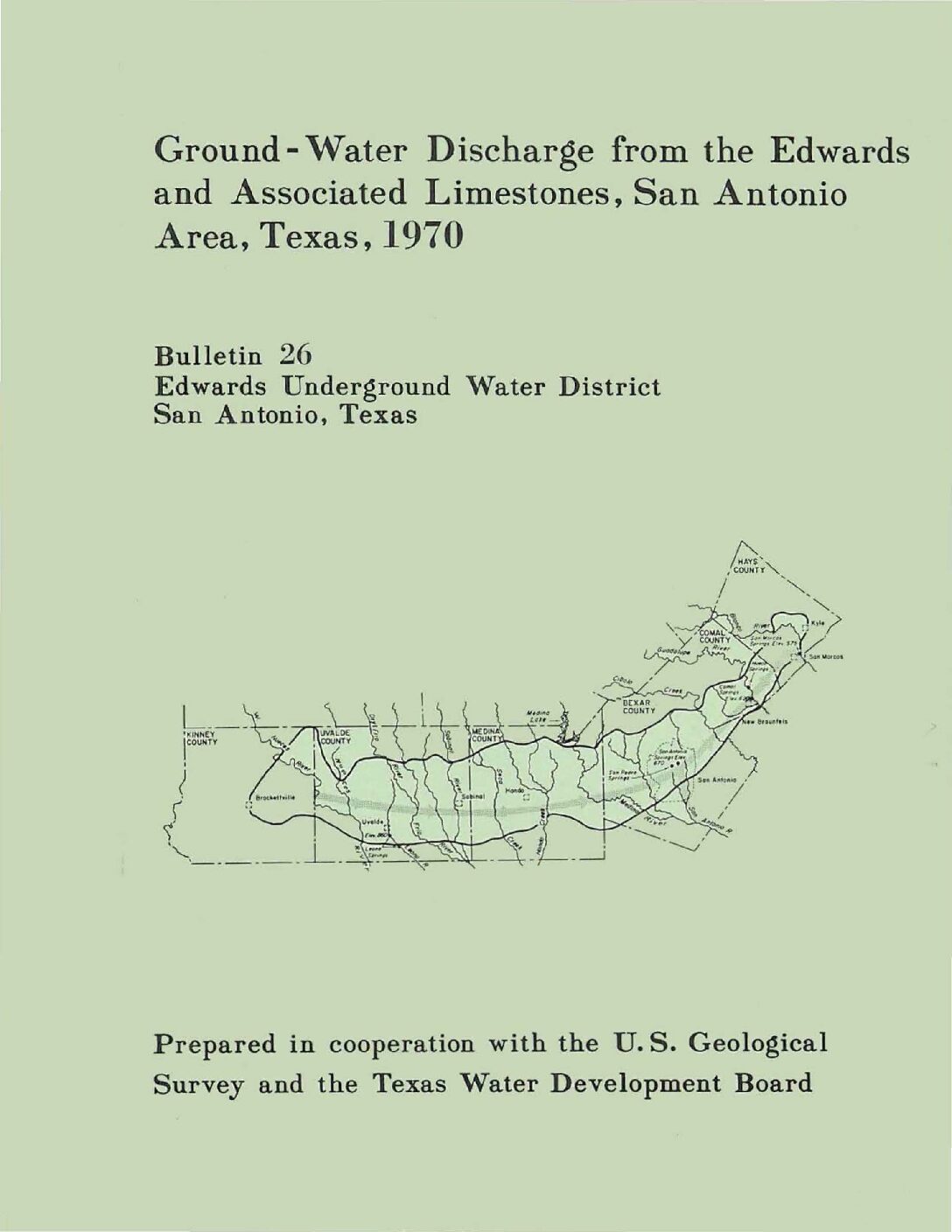
Description: Annual report for 1970 on discharge from the Edwards Aquifer issued by the Edwards Underground Water District
Report Number: Bulletin 26
Location: Edwards Aquifer Balcones Fault Zone San Antonio Segment
Summary:Records of ground-water discharge from the Edwards and associated limestones in the San Antonio area during 1970 are summarized in this report. The compilation of these basic records is part of a continuing hydrologic investigation by the U. S. Geological Survey in cooperation with the Edwards Underground Water District and the Texas Water Development Board. Previous reports are given in the list of references.
The spring discharge was compiled from records of gages operated by the U. S. Geological Survey at the points of discharge. Pumpage for agriculture was estimated from power consumption and irrigated acreage. Records of the annual canvass of pumpage in the San Antonio area by the Texas Water Development Board were used to compile municipal, military, and industrial usage.
The estimated discharge from the Edwards and associated limestones during 1970 is given in table 1. The discharge by springs was from San Marcos Springs in Hays County, Carnal Springs in Comal County, San Antonio and San Pedro Springs in Bexar County, and the Leona River Springs in Uvalde County. The recorded discharge for Leona River Springs includes underflow through the gravel below the Springs.
Major discharge by wells was from Bexar, Uvalde, and Medina Counties, while the major springflow was from Carnal and Hays Counties. Wells in Bexar County supplied water for municipal and military use. other wells in Bexar County and most of the large wells in Uvalde and Medina Counties supplied the irrigation needs for an estimated 50,000 acres. The remaining discharge, principally from wells in Bexar County, was for industrial, domestic, stock, and miscellaneous purposes.
The 1970 estimated total well and spring discharge from the Edwards and associated limestones was 727,100 acre-feet and is the record high for the period 1934-70. The increase was due primarily to above average springflow and pumpage for agricultural purposes.
About 45 percent of the total discharge came from wells, and approximately two-thirds of this discharge was from wells in Bexar County. Well discharge in 1970 was 7 percent greater than 1969, while the total discharge from wells and springs was 10 percent greater. Compared to the 1934-69 average, the total discharge was 36 percent greater.
Ground-Water Discharge from the Edwards and Associated Limestones, San Antonio Area, Texas, 1969
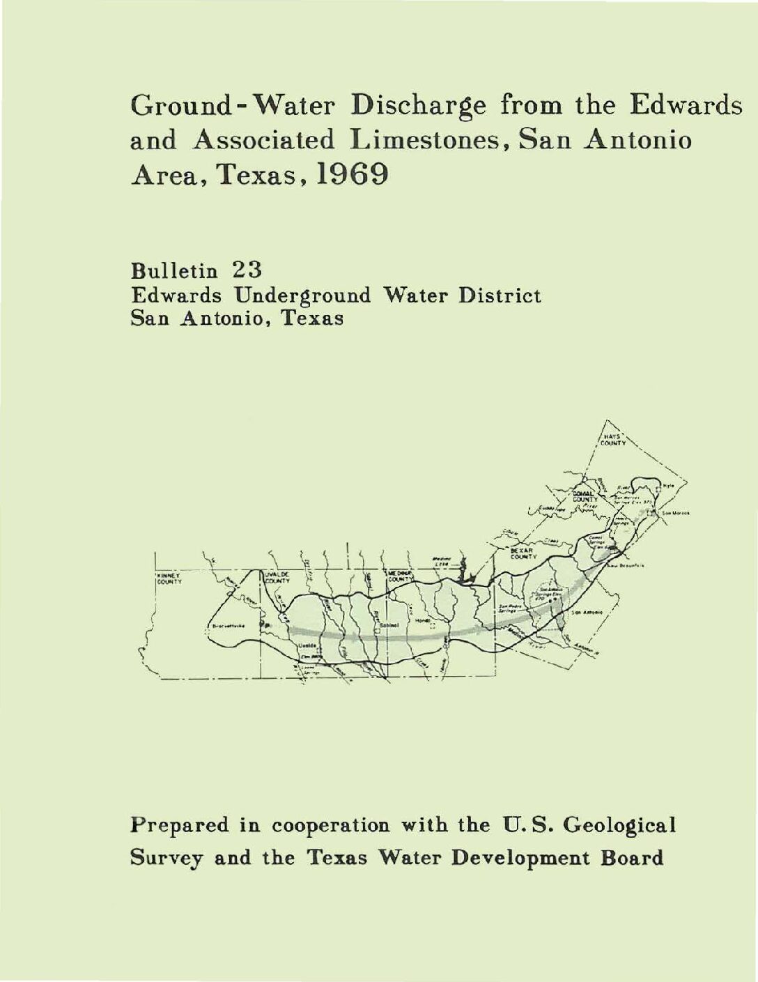
Description: Annual report for 1969 on discharge from the Edwards Aquifer issued by the Edwards Underground Water District
Report Number: Bulletin 23
Location: Edwards Aquifer Balcones Fault Zone San Antonio Segment
Summary:Records of ground-water discharge from the Edwards and associated limestones in the San Antonio area during 1969 are summarized in this report. The compilation of these basic records is part of a continuing hydrologic investigation by the U.S. Geological Survey in cooperation with the Edwards Underground water District and the Texas Water Development Board. Previous reports are given in the list of references.
The spring discharge was compiled from records of gages operated by the U.S. Geological Survey at the points of discharge. Pumpage for agriculture was estimated from power consumption and irrigation acreage. Records of the annual canvass of pumpage in the San Antonio area by the Texas Water Development Board were used to compile municipal, military, and industrial usage.
The estimated discharge from the Edwards and associated limestones during 1969 is given in table 1. The discharge by springs was from San Marcos Springs in Hays County, Comal Springs in Comal County, San Antonio and San Pedro Springs in Bexar County, and the Leona River Springs in Uvalde County. The recorded discharge for Leona River Springs includes underflow through the gravel below the Springs.
Major discharge by wells was from Bexar, Uvalde and Medina Counties, while the major springflow was from Comal and Hays Counties. Wells in Bexar County supplied water for municipal and military use. Other wells in Bexar County and most of the large wells in Uvalde and Medina Counties supplied the irrigation needs for an estimated 50,000 acres. The remaining discharge, principally from wells in Bexar County, was for industrial, domestic, stock, and miscellaneous purposes.
About 47 percent of the total discharge from the Edwards and associated limestones came from wells, and nearly three-fourths of this discharge was from wells in Bexar County. Well discharge in 1969 was 22 percent greater than 1968, while the total discharge from wells and springs was essentially the same. Compared to the 1934-68 average, the total discharge was 24 percent greater.
Ground-Water Discharge from the Edwards and Associated Limestones, San Antonio Area, Texas, 1968
Description: Annual report for 1968 on discharge from the Edwards Aquifer issued by the Edwards Underground Water District
Report Number: Bulletin 20
Location: Edwards Aquifer Balcones Fault Zone San Antonio Segment
Summary:Records of the ground-water discharge from the Lower Cretaceous Edwards and associated limestones in the San Antonio area are collected yearly as part of an overall hydrologic investigation by the U. S. Geological Survey in cooperation with the Edwards Underground Water District and the Texas Water Development Board. This investigation has continued for many years and has resulted in several geologic and hydrologic reports, some of which are listed in the references.
The 1968 average discharge from the Edwards and associated limestones is presented in the table of this report by county area and by use. The discharge by .springs was from San Marcos Springs in Hays County, Comal Springs in Comal County, San Antonio and San Pedro Springs in Bexar County, and the Leona River Springs in Uvalde County. The recorded discharge for Leona River Springs includes underflow.
The spring discharge was compiled from records of gages operated by the Geological Survey at the points of discharge. Pumpage for agriculture was estimated from power consumption and acreage. Records of the Texas Water Development Board's annual canvass of the municipal, military, and industrial pumpage in the San Antonio area were used in the preparation of the table in this report.
Major discharge by wells was from Bexar, Uvalde, and Medina Counties, while the major springflow was from Comal and Hays Counties. Wells in Bexar County supplied water for municipal and military use, the largest use in the San Antonio area. Other wells in Bexar County and most of the large wells in Uvalde and Medina Counties supplied the irrigation needs for an estimated 50,000 acres in this combined area. The remaining discharge, principally from wells in Bexar County, was for industrial, domestic, stock, and miscellaneous purposes.
About 38 percent of the total discharge from the Edwards and associated limestones came from wells, and three-fourths of this discharge was from wells in Bexar County. Well discharge in 1968 was 26 percent less than 1967: the total discharge from wells and springs increased by about 18 percent. Compared to the 1934-67 average, the total discharge was 26 percent greater.
Ground-Water Discharge from the Edwards and Associated Limestones, San Antonio Area, Texas, 1967
Description: Annual report for 1967 on discharge from the Edwards Aquifer issued by the Edwards Underground Water District
Report Number: Bulletin 17
Location: Edwards Aquifer Balcones Fault Zone San Antonio Segment
Summary:Records of the ground-water discharge from the Lower Cretaceous Edwards and associated limestones in the San Antonio area are collected yearly as part of an overall hydrologic investigation by the U. S. Geological Survey in cooperation with the Edwards Underground Water District and the Texas Water Development Board . This investigation has continued for many years and has resulted in several geologic and hydrologic reports, some of which are listed in the references.
The 1967 average discharge from the Edwards and associated limestones is presented in the table of this report by county area and by use . The discharge by springs was from San Marcos Springs in Hays County, Comal Springs in Comal County, San Antonio and San Pedro SprIngs in Bexar County, and the Leona River Springs in Uvalde County. The recorded discharge for Leona River Springs includes underflow. The spring discharge was compiled from gages operated by the Geological Survey at the points of discharge. Pumpage for agriculture was estimated from power consumption and acreage. Records of the Texas Water Development Board's annual canvass of the municipal, military, and industrial pumpage in the San Antonio area were used in the preparation of the table in this report.
Major discharge by wells was from Bexar, Uvalde, and Medina Counties, while the major springflow was from Comal and Hays Counties. Wells in Bexar County supplied water for municipal and military use, the largest single use in the San Antonio area. Other wells in Bexar County and most of the large wells in Uvalde and Medina Counties supplied the irrigation needs for an estimated 48,000 acres in this combined area. The remaining discharge, principally from wells in Bexar County, was for industrial, domestic, stock, and miscellaneous purposes.
About 61 percent of the total discharge from the Edwards and associated limestones came from wells, and 70 percent of this discharge was from wells in Bexar County. Deficient rainfall during the spring and summer of 1967 was mainly responsible for an increased demand for water from wells. Well discharge in 1967 was 33 percent greater than in 1966, while the total discharge from wells and springs decreased by about 2 percent.
Ground-Water Discharge from the Edwards and Associated Limestones, San Antonio Area, Texas, 1966
Description: Annual report for 1966 on discharge from the Edwards Aquifer issued by the Edwards Underground Water District
Report Number: Bulletin 14
Location: Edwards Aquifer Balcones Fault Zone San Antonio Segment
Summary:Records of the ground-water discharge from the Lower Cretaceous Edwards and associated limestones in the San Antonio area are collected yearly as part of an overall hydrologic investigation by the U. S. Geological Survey in cooperation with the Edwards Underground Water District, the Texas Water Development Board, and the city of San Antonio. This investigation has continued for many years and has resulted in several geologic and hydrologic reports, some of which are listed in the references. This report is one of three basic-data reports published annually by the Edwards Underground Water District.
The 1966 average discharge from the Edwards and associated limestones is presented in the table of this report by county area and by use. The discharge by springs was from San Marcos Springs in Hays County, Comal Springs in Comal County, San Antonio and San Pedro Springs in Bexar County, and the Leona River Springs in Uvalde County.
The spring discharge was compiled from gages operated by the Geological Survey at the points of discharge. Agriculture pumpage was estimated by the use of power consumption and acreage figures. Records of the Texas Water Development Board's annual canvass of the municipal, military and industrial pumpage in the San Antonio area were used in the preparation of the table of this report.
Most of the discharge by wells was in Bexar, Uvalde, and Medina Counties. Wells in Bexar County supplied most of the water for municipal and military use, the largest single use in the San Antonio area. Other wells in Bexar County and most of the large wells in Uvalde and Medina Counties supplied the irrigation needs of nearly 44,000 acres in this combined area. The remaining discharge, principally from wells in Bexar County, was for industrial, domestic, stock, and miscellaneous purposes. About 45 percent of the total discharge from the Edwards and associated limestones came from wells, and 77 percent of this discharge was from wells in Bexar County. Municipal, military, agricultural, and industrial uses were slightly greater in 1966 than in 1965. Springflow and the remaining well discharge were slightly lower, and the total discharge in 1966 was about 1 percent less than in 1965.
Ground-Water Discharge from the Edwards and Associated Limestones, San Antonio Area, Texas, 1965
Description: Annual report for 1965 on discharge from the Edwards Aquifer issued by the Edwards Underground Water District
Report Number: Bulletin 11
Location: Edwards Aquifer Balcones Fault Zone San Antonio Segment
Summary:Records of the ground-water discharge from the Edwards and associated limestones in the San Antonio area are collected as part of the overall hydrologic investigation of the u. S. Geological Survey in cooperation with the Edwards Underground Water District, the Texas Water Commission , and the city of San Antonio. This investigation has been continued for many years and has resulted in several geologic and hydrologic reports, some of which are listed in the references. This report is one of three basic- data reports published yearly by the Edwards Underground Water District.
The table included in this report represents the discharge from the Edwards and associated limestones during 1965 in each county of the area by use. The spring discharge was from San Marcos Springs in Hays County, Comal Springs in Comal County, San Antonio and San Pedro Springs in Bexar County, and the Leona River Springs in Uvalde County.
Most of the discharge by wells was in Bexar, Uvalde, and Medina Counties. Wells in Bexar County supplied most of the water for municipal and military use, the largest single use in the San Antonio area. Other wells in Bexar County and most of the large wells in Uvalde and Medina Counties supplied the irrigation needs of nearly 44,000 acres in this combined area . The remaining discharge, principally from wells in Bexar County, was for industrial, domestic, stock, and miscellaneous purposes. The discharge by wells in 1965 amounted to 44 percent of the total discharge, which exceeded the 1964 total discharge by more than 100,000 acre-feet. The discharge by wells for both years was approximately the same; therefore, all the increase during 1965 was due to increased flow from the springs.
Ground-Water Discharge from the Edwards and Associated Limestones, San Antonio Area, Texas, 1964
Description: Annual report for 1964 on discharge from the Edwards Aquifer issued by the Edwards Underground Water District
Report Number: Bulletin 8
Location: Edwards Aquifer Balcones Fault Zone San Antonio Segment
Summary:Records of the ground-water discharge from the Lower Cretaceous Edwards and associated limestones in the San Antonio area are collected yearly as part of the overall hydrologic investigation by the U. S. Geological Survey in cooperation with the Edwards Underground Water District, the Texas Water Commission, and the city of San Antonio. The investigation has continued for many years and has resulted in several geologic and hydrologic reports, some of which are listed in the references. This basic-data report is one of three of its type published annually by the Edwards Underground Water District.
The total 1964 discharge from the Edwards and associated limestones in each county in the area is presented in [a] table. The discharge by springs came from five sources: San Marcos Springs in Hays County, Comal Springs in Comal County, San Antonio and San Pedro Springs in Bexar County, and the Leona River Springs in Uvalde County.
On the other hand, most of the discharge from wells originated in Bexar, Uvalde and Medina Counties. The wells in Bexar County not only provided most of the discharge used for municipal and military purposes but, together with the wells in Uvalde and Medina Counties, also met the irrigation needs of over 40,000 acres in the combined area. Most of the remaining discharge“which served industrial, domestic, stock, and miscellaneous uses“was likewise from Bexar County.
About 55 percent of the total discharge from the Edwards and associated limestones came from wells, and 77 percent of this discharge was from wells in Bexar County. Because the well discharge was slightly less than in the preceding year and because the springflow also decreased, the combined well and spring discharge for 1964 was about 41,000 acre-feet less than in 1963.
Ground-Water Discharge from the Edwards and Associated Limestones, San Antonio Area, Texas, 1963
Description: Annual report for 1963 on discharge from the Edwards Aquifer issued by the Edwards Underground Water District
Report Number: Bulletin 5
Location: Edwards Aquifer - San Antonio Area
Summary:Records of the ground-water discharge from the Edwards and associated limestones in the San Antonio area are collected as part of the overall hydrologic investigation of the U. S. Geological Survey in cooperation with the Edwards Underground Water District, the Texas Water Commission, and the city of San Antonio. This investigation has been continued for many years and has resulted in several geologic and hydrologic reports, some of which are listed in the references. This report is one of three basic-data reports published yearly by the Edwards Underground Water District .
The table included in this report represents the discharge from the Edwards and associated limestones during 1963 in each county of the area by use. The spring discharge was from San Marcos Springs in Hays County, Comal Springs in Comal County, San Antonio and San Pedro Springs in Bexar County, and the Leona River Springs in Uvalde County . Most of the discharge for municipal and military use was from wells in Bexar County.
More than 38,000 acres was irrigated from wells in Uvalde, Medina, and Bexar Counties in 1963. Most of the remaining well discharge, (industry, domestic, stock, and miscellaneous) was in Bexar County. Nearly 54 percent of the total discharge from the Edwards and associated limestones during 1963 came from wells, and almost 80 percent of the total discharge from wells was in Bexar County. The well discharge in 1963 was slightly more than in 1962 because of small increases for municipal and irrigation uses. However, springflow in 1963 decreased enough to make the total discharge nearly 73,000 acre-feet less than in 1962.
Appendix B A Report Investigating Impacts of Aquifer Pumping Limits on Flow of Comal Springs and San Marcos Springs
Description: Use of GWSIM-IV model to determine effects of various pumpage reductions on springflow at Comal and San Marcos Springs
Location: Edwards Aquifer, Balcones Fault Zone, San Antonio Segment, Comal Springs, San Marcos Springs
Summary:LBG-Guyton Associates was contracted by Hicks Environmental to do a series of model runs with the Edwards Aquifer model (in GWSIM-IV) to determine the impact on Comal and San Marcos springflows of various pumpage reduction strategies. This investigation is part of the Habitat Conservation Plan (HCP) study being conducted for the Edwards Aquifer Authority {EAA). This work was conducted under project number 99227.
Several different scenarios were modeled to determine the impact of reductions of different types of pumpage on springflows. The scenarios modeled included:
- Equal pumpage reductions across the model area
- Reduction of irrigation pumpage only
- Reduction of municipal and industrial pumpage only
- Reduction of irrigation pumpage in Medina County only
- Reduction of irrigation pumpage in Uvalde County only
This report details the methodology used to make the model simulations, the assumptions used, and gives the results of the simulations and a discussion on the meaning of these results.
Streamflow Conditions in the Guadalupe River Basin, South-Central Texas, Water Years 1987-2006-An Assessment of Streamflow Gains and Losses and Relative Contribution of Major Springs to Streamflow
Description: Use of streamflow and springflow data to estimate contribution of springflow from Comal, San Marcos and Hueco Springs to streamflow in the Guadalupe River Basin
Report Number: USGS SIR 2008-5165
Location: Edwards Aquifer, Balcones Fault Zone, San Antonio Segment, Guadalupe River Basin
Summary:The U.S. Geological Survey, in cooperation with the Edwards Aquifer Authority, assessed available streamflow
data in the Guadalupe River Basin to determine streamflow gains and losses and the relative contribution of flow from major springs”Comal Springs, San Marcos Springs, and Hueco Springs”to streamflow in reaches of the Guadalupe River and its tributaries. The assessment is based primarily on long-term (1987“2006) and short-term (January 1999, August 1999, August 2000, and August 2006) streamflow conditions. For each analysis period, the ratio of flow from the major springs (measured at the spring source) to the sum of inflows (measured at the source of inflow to the river system) is computed for reaches of the Comal River and San Marcos River that include springflows from major springs, and for Guadalupe River reaches downstream from Canyon Dam. The ratio
of springflow to the sum of inflows to the reach is an estimate of the contribution of flows from major springs to streamflow.
For 1987“2006, the ratio of springflow from the major springs to the sum of inflows for the most upstream reach that includes inflow from all three major springs, Guadalupe River”above Comal River to Gonzales, is 27 percent. At the lowermost downstream reach, Guadalupe River”Bloomington to the San Antonio River, the percentage of the sum of inflows attributed to springflow is 18 percent. At that lowermost reach, the ratio of Canyon Lake releases to the sum of inflows was 20 percent.
For the short-term periods August 2000 and August 2006 (periods of relatively low flow), springflow in the reach Guadalupe River”above Comal River to Gonzales accounted for 77 and 78 percent, respectively, of the sum of inflows in that reach. At the lowermost reach Guadalupe River”Bloomington to San Antonio River, springflow was 52 and 53 percent of the sum of inflows, respectively, during August 2000 and August 2006 (compared with 18 percent during 1987“2006); and during August 2000 and August 2006, the ratios of Canyon Lake releases to the sum of inflows were less than 10 percent (compared with 20 percent during 1987“2006).
Water Quality Trends Analysis of the San Antonio Segment, Balcones Fault Zone Edwards Aquifer, Texas

Description: Collection and analysis of thousands of groundwater, surface water, and spring water samples to evaluate water quality in the San Antonio segment of the Balcones Fault Zone Edwards Aquifer of south central Texas.
Location: Edwards Aquifer, San Antonio Segment, Balcones Fault Zone
Summary:The Edwards Aquifer Authority (EAA) and other public agencies have collected and analyzed thousands of groundwater, surface water, and spring water samples to evaluate water quality in the San Antonio segment of the Balcones Fault Zone Edwards Aquifer of south central Texas. In July 2009, EAA staff prepared a report evaluating water quality data collected through August 2006. This update includes water quality data collected through June 2013. Like the original report, the purpose of this report is to examine this body of water quality data to characterize historical water quality, existing conditions, and water quality trends, as well as to identify specific constituents of concern (COCs) within the aquifer. Emphasis is placed on evaluating the presence of COCs that may have resulted from human activity in the study area. Water quality data were collected by the EAA, its predecessor agency, the Edwards Underground Water District (EUWD); the United States Geological Survey (USGS); and the Texas Water Development Board (TWDB) since 1913. More than 13,000 samples totaling more than 700,000 individual parameters were compiled for this report. Analytical data evaluated for the update of this report since 2006 has not changed the conclusions of the original report. The results are characterized by infrequent detections of potential contaminants in groundwater and surface water from multiple sources. Vulnerability of the aquifer to contamination has been demonstrated by the detection of parameters that do not occur naturally in the aquifer. The organic compounds were detected mainly in urban areas, whereas nitrate was detected throughout the aquifer. Despite the additional data, they are insufficient to determine whether concentrations are increasing or decreasing. Based on all of the historical analyses through June 2013, concentrations of 28 parameters exceeded protective concentration levels (PCLs) in one or more samples, which includes one additional parameter (nitrite) from the post-2006 analyses. The parameters were selected as COCs because their concentrations exceeded the assimilative capacity of the aquifer, which is the capacity of the aquifer to attenuate the concentrations of contaminants to acceptable levels before they reach a well or spring.
Universal Passive Samplers and the Aliasing Problem in Groundwater Sampling
Description: AY-68-29-418 (Rio Seco) was selected for this study because it is within the Recharge Zone of the Edwards Aquifer surrounded by urban development, and water samples contain consistent PCE concentrations. AY-68-29-418 was sampled eight times to determine the correlation between PCE concentrations from universal passive samplers and water quality grab samples. EAA field staff exchanged the universal passive samplers every 48 hours, one universal passive sampler for one-hour exposure time, and two universal passive samplers for ten days exposure time. During each retrieval of universal passive samplers, EAA field staff also obtained a grab sample.
Location: San Antonio, Rio Seco, Edwards Aquifer
Summary:The Edwards Aquifer Authority (EAA) evaluated the role of passive sampling devices for improving the collection of representative samples for its water quality monitoring program. The purpose of this study was to investigate the use of universal passive samplers to overcome aliasing which reflects the inability of grab samples to capture a complete record of groundwater contaminant concentrations. Monitoring well (AY-68-29-418, Rio Seco) was sampled with universal passive samplers with exposure times of one hour, 48 hours, and ten days. Grab samples were collected after each exposure period. Tetrachloroethene (PCE) was detected in all of the universal passive samples; total petroleum hydrocarbon (TPH) was detected in 80% of the samples; benzene, toluene, ethylbenzene, and xylenes (BTEX) was detected in 33% of the samples; toluene was detected in 26% of the samples; chloroform was detected in 20% of the samples; and benzene was detected in 7% of the samples. Only PCE was detected in the grab samples. These findings indicated that universal passive samplers can detect contaminants at lower concentrations than grab samples, and the PCE concentrations were directly proportional to exposure time rather than the maximum concentration in the groundwater. Consequently, universal passive samplers only partially overcome aliasing by indicating the presence or absence of contaminants in groundwater.
Blasting Effects on Engineered Structures Appendices H, I ,J
Description: Appendices H, I, J to main companion report
Report Number: 92-01
Location: Edwards Aquifer, Balcones Fault Zone, San Antonio Segment, Recharge Zone, Bexar County
Summary:Appendices H, I, J to main companion report
Blasting Effects on Engineered Structures Appendices A-G
Description: Appendices A-G to main companion report.
Report Number: 92-01
Location: Edwards Aquifer, Balcones Fault Zone, San Antonio Segment, Recharge Zone, Bexar County
Summary:Appendices A-G to main companion report.
Blasting Effects on Engineered Structures
Description: Report of field study on effects of blasting charges on structure and function of nearby pipes, wells, and tanks. See accompanying appendices.
Report Number: 92-01
Location: Edwards Aquifer, Balcones Fault Zone, San Antonio Segment, Recharge Zone, Bexar County
Summary:The investigation of the effects of blasting was commissioned by the Edwards Underground Water District (EUWD) to determine how blasting degrades the integrity of underground structures and what criteria might be effective to limit facility degradation. The study successfully achieved both
objectives, and the major findings are as follows:
(1) None of the structure types investigated in the field (wells, pipes and tanks) suffered damage causing loss of their contents or loss of function when production charges were detonated at distance greater or equal to 10 feet. All of the structures in the study were in good condition and installed according to city and state specifications. More conservative criteria should be applied to structures and systems that have not been constructed according to specifications and/or have become more fragile with age. Also, the total size of the blast and the delay sequence must be considered.
(2) Well-behaved relationships between the amplitude of blast response at a given location and the size of the energy source (velocity response ratio, VRR) were obtained. These relationships indicate that the vibration response to production blasting at selected locations may be predicted with reasonable accuracy from the measured site response to small (calibration) blasts.
(3) Variations of blast response amplitude with depth (normalized velocity response, NVR) for the target structures were also well behaved. In general, amplitude decreases with depth. When the charge is detonated close to the structure, the amplitude may be relatively constant with depth, or may increase with depth for large, close events. The longitudinal (radial) component of motion is most likely to display the latter behavior, probably due to improved energy transmission in saturated ground.
(4) The relationships between source energy and response amplitude, and the relationships between amplitude and depth may be combined in a response prediction procedure. First the site response to a small charge (e.g. 1/2 lb. of dynamite) is measured at points of interest. Next the ground surface response to a production blast is determined from the low-energy response and the energy/amplitude relationship, VRR. Finally the subsurface response in and around the structure is predicted from the surface response and the relationship between amplitude and depth, NVR. Details of the development and application of the procedure are given in section 7 of the report.
The prediction techniques developed in the study show promise for application to vibration control during production blasting. Application of the method in construction will provide an opportunity to collect a reservoir of data which can be used to improve the accuracy and precision of site response predictions. Reducing uncertainty in blast operations will help the excavation contractor to complete his job more safely and efficiently, and will reduce the risk of aquifer contamination by limiting damage to underground structures.
The investigators acknowledge the generous support of the Edwards Underground Water District for the work completed under this contract, and look forward to providing future assistance to the District in the development of solutions to related technical problems.


