 Conditions
Science & Data Document Library
Science and Data Resources
Variable Flow Study Seven Years of Monitoring and Applied Research
Description: Summary of the Comprehensive and Critical Period Monitoring Program to Evaluate the Effects of Variable Flow on Biological Resources in the Comal and San Marcos Springs Ecosystems Aquatic for 2000-2007
Location: Comal Springs/River, San Marcos Springs/River
Summary:This report presents a summary of the monitoring and research efforts that have occurred in the Comal and San Marcos Ecosystems since 2000. The report provides background on the monitoring components and the evolution of the overall monitoring program along with results or trends that have been documented during the seven years of observations and research. The report also highlights special research projects or case studies that have been conducted to address issues that were not readily apparent and are important for the protection of the species or habitats. Finally, the report provides recommendations of activities or programs to gather missing information regarding the thresholds of the species and habits and management implications of existing activities that merit further discussion.
Evaluation of Augmentation Methodologies in Support of In-Situ Refugia at Comal and San Marcos Springs, Texas
Description: Evaluation of different augmentation methodologies to maintain habitats in Comal and San Marcos Springs during drought conditions
Location: Comal Springs, San Marcos Springs
Summary:The study was performed to investigate the feasibility of augmenting flow at Comal and San Marcos springs. Augmenting springflow was evaluated for the purpose of maintaining critical habitat for threatened and endangered species for a very limited period of time during drought conditions. The study was completed in June 2004 by a team led by LBG-Guyton Associates.
[From the Introduction]
The objective of this study was to investigate updated options that would complement the objectives of the regional pumpage reduction programs. In essence, the results of this project would maintain viable habitat long enough for the rains to return. To accomplish this goal augmentation strategies would need to be custom designed for each spring. This required a more detailed evaluation of:
- The hydrogeology of the Comal Springs and San Marcos Springs areas, including a better understanding of how the springs and associated lakes changed under different flow regimes
- The distribution of the endangered species in the springs and lakes
- The different strategies that either added water to the springs to help prevent rapid decreases of flow over time or focused the available flow to the most critical areas so as to maintain suitable conditions.
This document addresses three areas:
1. The hydrogeology and hydrology of Comal and San Marcos Springs,
2. The location of the highest quality habitat in the spring complexes, and,
3. The use of additional waters to supplement the natural flows at the springs.
This report does not offer a single final answer, but does prioritize recommendations as to how the Authority might proceed toward a possible solution.
Water Quality/Variable Flow Study Summary of Fall Quarterly Sampling San Marcos River, San Marcos, Texas October 24-November 2, 2000
Description: Sampling activities methodologies, sample locations, and raw data for critical period monitoring in the San Marcos River October 24-November 2, 2000
Location: San Marcos River
Summary:This Annual Summary Report serves only to highlight the sampling activities that were conducted with respect to the Fall Quarterly Sampling (Comprehensive Monitoring Effort) on the San Marcos River. The report presents the sampling activities, brief summary of methodologies, sample locations, and raw data. The report also serves to satisfy the requirements of the Federal Fish and Wildlife Permit # TE820022-2 .
The data reduction and analysis component of the project will be presented in the final report to be issued to the Edwards Aquifer Authority in February 2003. The PBS&J project team conducted the Fall Quarterly Sampling from 24 October to 2 November 2000 with the flows at San Marcos reporting 117 cfs on 27 October 2000, and 151 cfs on 2 November 2000.
Although the San Marcos River never reached the 100 cfs trigger level for critical period monitoring, it came very close. The 120 cfs trigger level was reached initiating specific Texas wild-rice observations. A critical period trip was initiated on 5 October when the flows had declined to 106 cfs. Dip netting activities were conducted on 5 October 2000. Several inches of rain fell over the weekend pushing the flows back up to approximately 114 cfs, thus cancelling the critical period trip. After that time, the flows at San Marcos stayed fairly stable until the completion of the Fall Quarterly Event. On the final day of sampling another round of heavy rainfall boosted the levels in the aquifer and thus increased the flows in the San Marcos system. However, the Fall Quarterly Event was conducted prior to this rainfall and represented fairly low-flow conditions.
Water quality was measured for the system during this effort with all parameters measured being suitable for the biological communities. Aquatic vegetation was abundant and provided suitable habitat for biological communities. Within the two reaches sampled for fountain darters via the drop net methodology, suitable habitat for the darter was observed. Drop net sampling in both reaches produced fountain darters within the suitable aquatic vegetation types. In addition, dip net sampling was conducted in the Spring Lake Reach, City Park Reach, and I-35 Reach. Using dip nets, fountain darters were collected from all reaches. Suitable habitat for the San Marcos salamander was also noted in the four specific salamander sampling areas with salamanders observed in each area.
During the September and October Texas wild-rice efforts, floating mats of vegetation were evident in certain reaches. These mats of vegetation were subsequently flushed out by the heavy rainfalls that occurred post-sampling. The gill parasite that has been reported for the fountain darter in the Comal system was not visually evident in fountain darters collected from the San Marcos River.
As noted for the Comal system, the San Marcos Fall Quarterly Sampling provided a strong confirmation that the study design appears well suited to address the concerns of variable flow and water quality on the biological resources in the San Marcos system. It must continue to be emphasized that additional sampling in variable flow conditions to compare back to this fall quarterly sampling effort and future efforts remains critically important in order to best define and understand the system.
Water Quality/Variable Flow Study Summary of Fall Quarterly Sampling Comal River, New Braunfels, Texas November 9-17, 2000
Description: Sampling activities methodologies, sample locations, and raw data for critical period monitoring on the Comal River, New Braunfels, Texas September 7-15, 2000
Location: Comal River/Springs Ecosystem
Summary:This Annual Summary Report serves only to highlight the sampling activities that were conducted with respect to the Fall Quarterly Sampling (Comprehensive Monitoring Effort) on the Comal Springs I River ecosystem. The report presents the sampling activities, brief summary of methodologies, sample locations, and raw data. The report also serves to satisfy the requirements of the Federal Fish and Wildlife Permit # TE820022-2. The data reduction and analysis component of the project will be presented in the final report to be issued to the Edwards Aquifer Authority in February 2003.
The PBS&J project team conducted the Fall Quarterly Sampling from 9 November to 17 November 2000 with the flows at Comal reporting 314 cfs on 9 November 2000, and 344 cfs on 17 November 2000.
From the time of the Critical Period Monitoring efforts, a considerable amount of rainfall had accumulated and the aquifer experienced a considerable rise. The flows reported during this fall quarterly event were approximately twice those reported during the critical period events. Again, all three major springs (Spring runs 1, 2, and 3) were flowing. Water quality was also measured for the system during this period with the standard parameters (including temperature) being suitable for the biological communities. Aquatic vegetation was abundant and provided suitable habitat for biological communities.
Within the four reaches sampled for fountain darters via the drop net methodology, suitable habitat for the darter was observed. Drop net sampling in all reaches produced fountain darters within the suitable aquatic vegetation types, sometimes in large numbers as documented in Landa Lake. Although a few darters were collected in the drop nets from the Upper Spring Run Reach during the Fall Quarterly sampling, follow-up dip net sampling for fountain darters in this reach was less productive than during the critical period events. In addition, dip net sampling was conducted in Landa Lake and the Old Channel.
Using dip nets, fountain darters were collected from all reaches with large numbers being reported in the suitable habitat in Landa Lake and the Old Channel. Within the spring runs and at the springs' orifices, suitable habitat for the listed invertebrates was observed. Drift net samples were taken in Spring runs 1, 2, and 3. Suitable habitat for the Comal Springs salamander was also noted in the spring runs and Spring Island area with salamanders observed in each area.
Unlike the first two events, the filamentous algae and floating mats of vegetation that had been present was thoroughly removed prior to the fall quarterly sampling. The gill parasite that has been reported for the fountain darter over the last several years was also very evident in a number of fountain darters collected. The fountain darters collected from the Old Channel Reach exhibited the worst conditions noted with respect to parasite infections and darter condition.
The fall quarterly effort conducted at approximately twice the Critical Period flow provided an excellent confirmation that the study design appears well suited to address the concerns of variable flow and water quality on the biological resources in the Comal system. It must continue to be emphasized that additional sampling in variable flow conditions to compare back to this fall quarterly sampling effort and future efforts remains critically important in order to best define and understand the system.
Water Quality/Variable Flow Study Summary of Critical Period Sampling #2 Comal River, New Braunfels, Texas September 7-15, 2000
Description: Sampling activities methodologies, sample locations, and raw data for critical period monitoring on the Comal River, New Braunfels, Texas September 7-15, 2000
Location: Comal River / Springs Ecosystem
Summary:This Annual Summary Report serves only to highlight the sampling activities that were conducted with respect to the Second Critical Period Monitoring Effort on the Comal Springs I River ecosystem. The report presents the sampling activities, brief summary of methodologies, sample locations, and raw data. The report also serves to satisfy the requirements of the Federal Fish and Wildlife Permit # TE820022-2. The data reduction and analysis component of the project will be presented in the final report to be issued to the Edwards Aquifer Authority in February 2003.
The PBS&J project team conducted the second Critical Period Monitoring Sampling from 7 September to I 5 September 2000 with the flows at Comal reporting 145 cfs on 7 September 2000, and 171 cfs on 15 September 2000.Separated by less than two weeks, the observations noted for the second Critical Period Monitoring effort were very similar to the observations of the first Critical Period Monitoring effort. At the flows present (145- 17I cfs) during the second Critical Period Monitoring effort, all three major springs (Spring runs 1, 2, and 3) were flowing. Water quality was also measured for the system during this period with the standard parameters (including temperature) being suitable for the biological communities. Aquatic vegetation was abundant and provided suitable habitat for biological communities. Within the four reaches sampled for fountain darters via the drop net methodology, suitable habitat for the darter was observed. Drop net sampling in the lower three reaches produced fountain darters within the suitable aquatic vegetation types, sometimes in large numbers as documented in Landa Lake and the Old Channel.
No fountain darters were collected in drop nets from the Upper Spring Run Reach. However, subsequent dip net sampling in the Upper Spring Run Reach for fountain darters revealed that darters still occupied the reach. In addition, dip net sampling was conducted in Landa Lake, the New Channel, the Old Channel, and below Garden Street just above the confluence with the Guadalupe River. Using dip nets, fountain darters were collected from all reaches with large numbers being reported in the suitable habitat in Landa Lake and the Old Channel. Within the spring runs and at the springs' orifices, suitable habitat for the listed invertebrates was observed. Drift net samples were taken in Spring runs 1, 2, and 3. Suitable habitat for the Comal Springs salamander was also noted in the spring runs and Spring Island area with salamanders observed in each area.
As during the first effort, there was a considerable amount of filamentous green algae in the Upper Spring Run Reach, covering the majority of the substrate and the aquatic vegetation to varying degrees. This condition was much less evident in the lower reaches. The gill parasite that has been reported for the fountain darter over the last several years was also very evident in a number of fountain darters collected.
The fountain darters collected from the Old Channel Reach exhibited the worst conditions noted with respect to parasite infections and darter condition. It should be emphasized that the parasite has been repeatedly noted for darters in the Comal System and that the Old Channel maintained some of the highest flows sampled during this effort.
The second effort again confirmed that the study design appears well suited to address the concerns of variable flow and water quality on the biological resources in the Comal system. It also must be reemphasized that sampling in variable flow conditions to compare back to this critical period sampling effort and future efforts remains critically important in order to best define and understand the system.
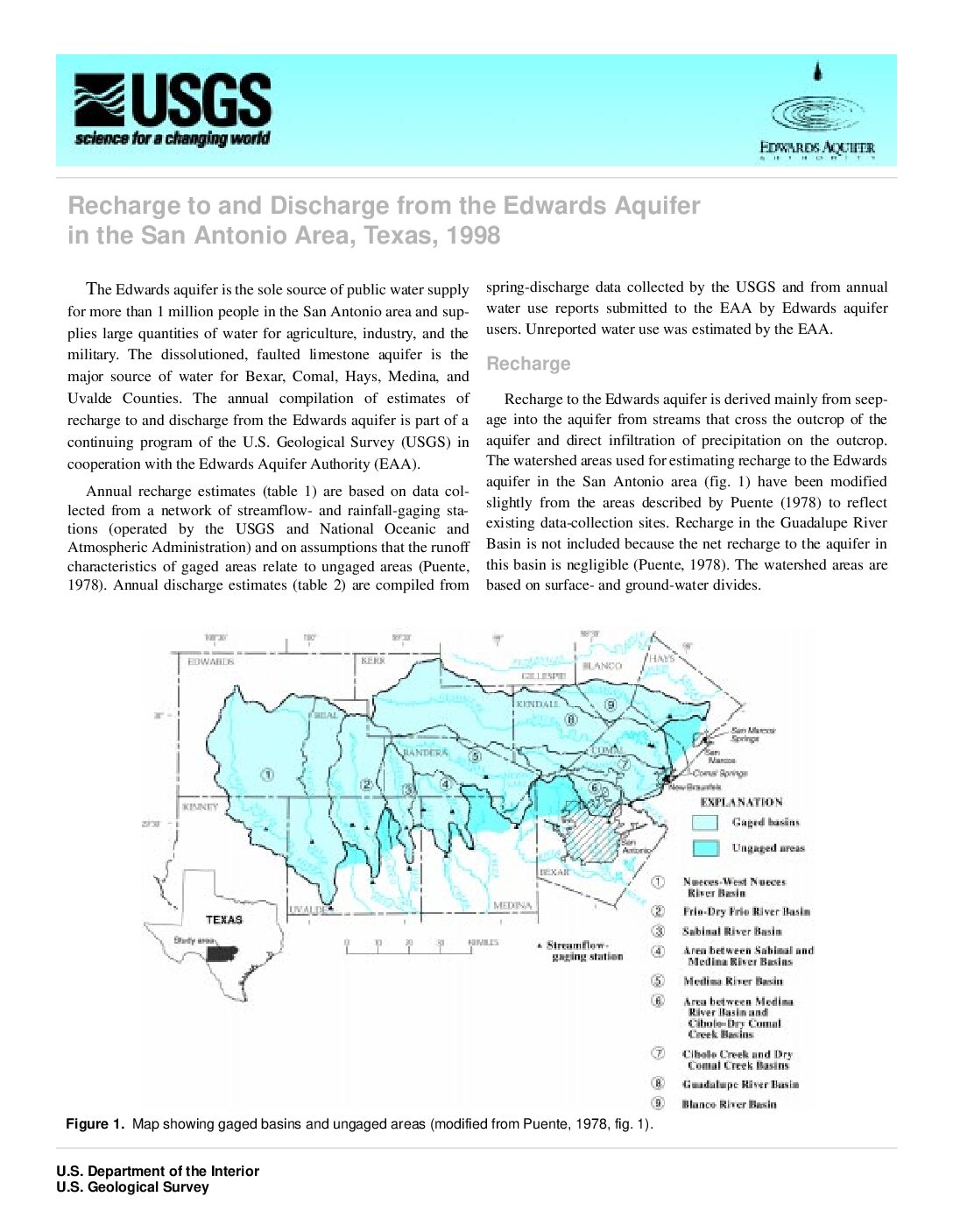
Recharge to and Discharge from the Edwards Aquifer in the San Antonio Area, Texas, 1998
Description: Short report summarizing recharge and discharge to and from the Edwards Aquifer from 1934-1998
Report Number: http://tx.usgs.gov/reports/dist/dist-1999-01/
Location: Edwards Aquifer Balcones Fault Zone San Antonio Region
Summary:The estimated annual recharge for 1998 is 1,142,300 acre-feet (acre-ft). The estimated annual recharge for 1934“98 (table 1) ranges from 43,700 acre-ft in 1956 to 2,486,000 acre-ft in 1992. The average and median estimated annual recharge for 1934“98 are 683,100 and 556,100 acre-ft, respectively. The estimated annual discharge from wells and springs during 1998 is 915,900 acre-ft.
The estimated annual discharge from wells and springs for 1934“98 (table 2) ranges from 388,800 acre-ft in 1955 to 1,130,000 acre-ft in 1992. The 1934“98 estimated annual discharge from wells ranges from 101,900 acre-ft in 1934 to 542,400 acre-ft in 1989.
Discharge from San Marcos and Comal Springs (371,100 acre-ft) accounted for about 80 percent of spring discharge during 1998. The remaining spring discharge was from Hueco Springs in Comal County, San Pedro and San Antonio Springs in
Bexar County, and Leona Springs in Uvalde County. Discharge from Leona Springs includes underflow from the Edwards aquifer into gravels of the Leona Formation along the stream. The 1934“98 estimated annual discharge from springs ranged from 69,800 acre-ft in 1956 to 802,800 acre-ft in 1992; the average for the period is 365,300 acre-ft and the median is 375,500 acre-ft.
Records of Ground-Water Recharge and Discharge for the Edwards Aquifer in the San Antonio Area, Texas, 1934-77
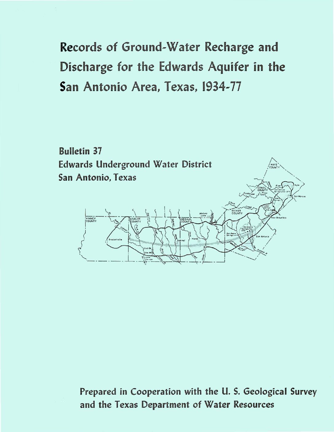
Description: Annual report for 1977 on recharge and discharge from the Edwards Aquifer issued by the Edwards Underground Water District
Report Number: Bulletin 37
Location: Edwards Aquifer Balcones Fault Zone San Antonio Segment
Summary:The average annual ground-water recharge to the Edwards aquifer in the San Antonio area, Texas, from 1934 through 1977 was about 589,200 acre-feet. A maximum annual recharge of 1,711,200 acre-feet occurred in 1958, and a minimum annual recharge of 43,700 acre-feet occurred in 1956.
A maximum annual discharge of 960,900 acre-feet occurred in 1977, and a minimum annual discharge of 388,800 acre-feet occurred in 1955. The maximum annual discharge by wells was 406,800 acre-feet in 1971.
Records of Precipitation, Aquifer Head, and Ground-Water Discharge to the Edwards and Associated Limestones, San Antonio Area, Texas, 1963
Description: Annual report for 1963 on precipitation, aquifer levels, and recharge to the Edwards Aquifer issued by the Edwards Underground Water District
Report Number: Bulletin 6
Location: Edwards Aquifer Balcones Fault Zone San Antonio Segment
Summary:The Edwards and associated limestones, the principal aquifer in the San Antonio area, has been the subject of numerous geologic and hydrologic reports. Records of precipitation, water levels, and estimates of recharge to the aquifer during 1963 are summarized in this report, one of three basic-data reports published yearly by the Edwards Underground Water District. The gathering of these records and data is part of the continuing hydrologic investigation by the U.S. Geological Survey in cooperation with the Edwards Underground Water District, the Texas Water Commission, and the city of San Antonio.
Table 1 shows the annual precipitation at selected stations throughout the San Antonio area for 1963 and the annual average for each of the stations. Rainfall generally was below average during 1963, the second consecutive year of rainfall deficiency in the San Antonio area since the major drought which ended in 1957.
The annual recorded high and low water levels during 1963 in the five key wells in the area are shown in table 2. The water levels generally fluctuated above the midpoint between the record high and low levels, shown also for each key well in table 2. Thus, the aquifer head during 1963 remained well above the record low even after two consecutive years of below-average rainfall.
Recharge to the Edwards and associated limestones is chiefly from streams that lose most of their base flow and a part of their flood flow as they cross the Balcones fault zone on the outcrop of the aquifer. The recharge is estimated from records of continuous discharge at gaging stations on the streams and from seepage studies made prior to 1963, which determined streamflow losses across the Balcones fault zone under different rates of base flow. The monthly mean discharges at the gaging stations during October-December 1963 are shown in table 3. Streamflow records for January-September 1963 have been published by the U.S. Geological Survey (U.S. Department of the Interior, Geological Survey-Water Resources Division, 1963).
Table 4 shows the recharge in each basin of the San Antonio area for 1963 and the average annual recharge for the period 1934-62. The latter was computed from previous recharge estimates (Garza, 1962, p. 12; Garza, 1963, p. 7). Basically, the methods employed by Petitt and George (1956) and Garza (1962) were used for estimating the 1963 recharge, which was considerably below average and the lowest annual total since 1956.
Comprehensive and Critical Period Monitoring Program to Evaluate the Effects of Variable Flow on Biological Resources in the San Marcos Springs/River Aquatic Ecosystem Final 2001 Annual Report
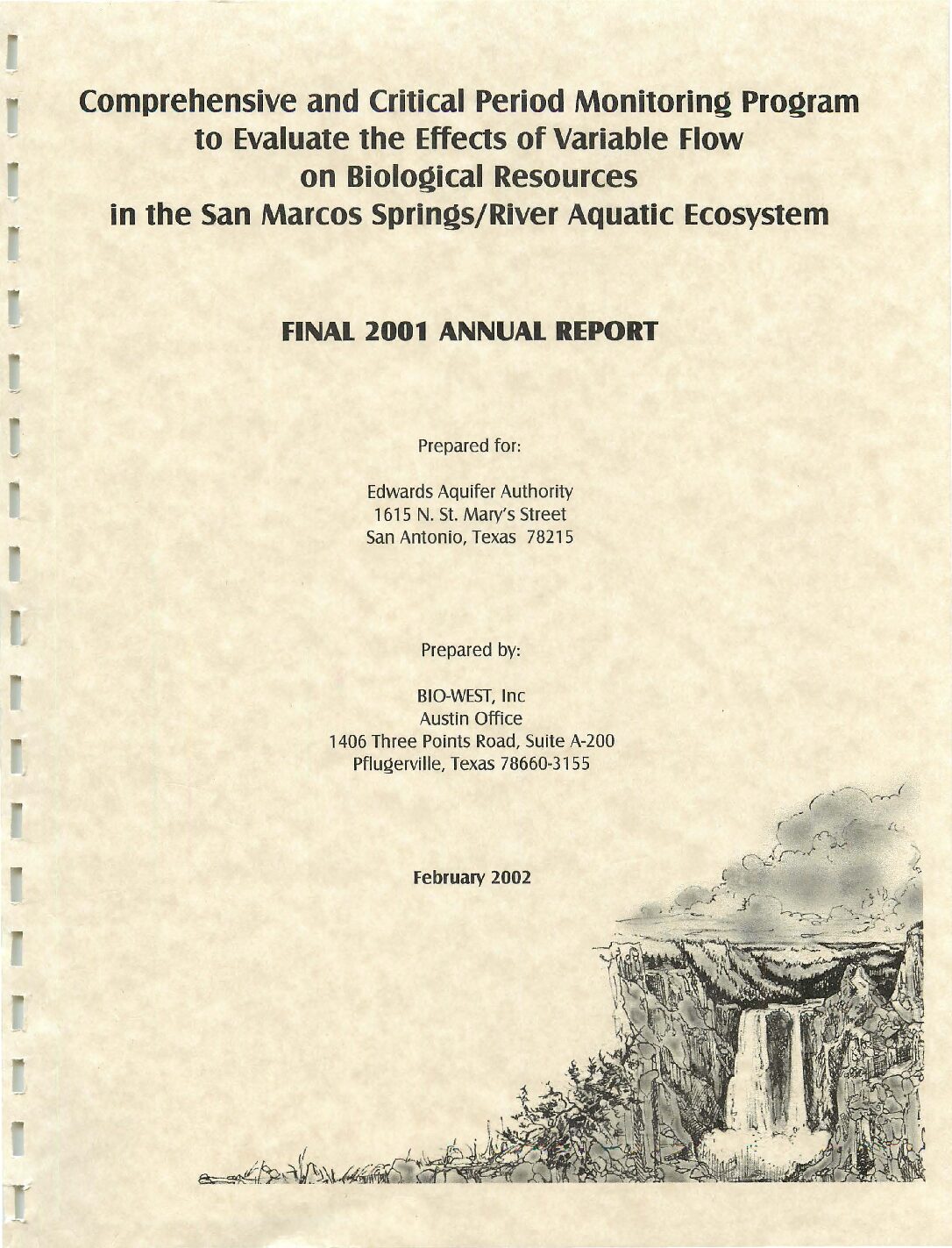
Description: Annual report for 2001 on biota study of San Marcos Springs/River
Location: San Marcos Springs/River
Summary:The purpose of this report is to document the results of all aquatic ecosystem monitoring conducted in 2001 at San Marcos Springs located in San Marcos, Texas. The monitoring and report preparation was performed by BIO-WEST, Inc. Pflugerville, Texas.
[Excerpted from Executive Summary]
This annual summary report presents a synopsis of methodology used and an account of sampling activities including sampling conditions, locations and raw data obtained during all four quarterly sampling events (Comprehensive Monitoring Effort) conducted on the San Marcos Springs/River ecosystem in 2001. In addition, data obtained during the high-flow sampling event conducted on the San Marcos Springs / River ecosystem in December 2001 are presented.
During 2001 the conditions in the San Marcos Springs/River ecosystem were representative of a wet winter and spring followed by the typical summertime decline. However, unlike summer 2000, a large rainfall event occurred in late summer (September 2001), and moderate-to-high rainfall conditions occurred throughout the remainder of the fall, including a major event in November 2001. No critical period samples were triggered by low-flow events in 2001, but one full sampling event (high flow) was conducted following the intense flooding in November 2001 (24-hour mean discharge reached levels that have occurred less than 0.1% of the time in the recorded hydrograph).
Throughout this time period, the San Marcos Springs/River ecosystem can be characterized as an ecosystem with very high water quality for the chemical and physical variables that were measured. Aquatic vegetation remained abundant throughout the study period and provided suitable habitat for biological communities.
The most interesting observation from the Texas wild-rice data is the decrease in total coverage ( -7%, > 135 square meters [m2]) that occurred between the summer and high-flow sampling events. Fountain darters were collected from each sampling reach during each sampling event. The overall size-class distribution is typical of a healthy fish assemblage although shifted towards larger fish than those observed in the Comal ecosystem.
By all indications, the densities of giant ramshorn snails (Marisa cornuarietis) observed in the San Marcos Springs/River ecosystem during the study period to date pose no serious threat to the aquatic vegetation. However, because of the impact that this exotic species can have under heavier densities, close monitoring of this species should continue. The gill parasite that has been reported infesting the fountain darter in the Comal ecosystem was not visually evident in fountain darters collected from the San Marcos Springs/River ecosystem.
Suitable habitat for the San Marcos salamander (Eurycea nana) was noted in Spring Lake and below Spring Lake Dam; San Marcos salamanders were observed in each area during each sampling event.
The high-flow event conducted in concert with quarterly sampling has provided an excellent opportunity to assess the recovery potential of the San Marcos Springs/River ecosystem. The high-flow event was the final sampling effort conducted in 2001; thus, the recovery potential will not be evaluated until the winter 2002 sampling effort.
One conclusion that can be made is that this study is the most comprehensive biological evaluation that has ever been conducted on the San Marcos Springs/ River ecosystem.
Ground-Water Discharge from the Edwards and Associated Limestones, San Antonio Area, Texas, 1976
Description: Annual report for 1976 on discharge from the Edwards Aquifer issued by the Edwards Underground Water District
Report Number: Bulletin 36
Location: Edwards Aquifer Balcones Fault Zone San Antonio Segment
Summary:The estimated total discharge from wells and springs in the Edwards and associated limestones in the San Antonio area during 1976 was 853,400 acre-feet. The total discharge from wells and springs in 1976 was about 2 percent less than in 1975 and about 50 percent more than the average for 1934-75.
About 41 percent of the total discharge was from wells, and approximately two-thirds of this amount was from wells in Bexar County. The discharge from wells in 1976 was 6 percent more than in 1975; springflow decreased by about 7 percent.
Ground-Water Discharge from the Edwards and Associated Limestones, San Antonio Area, Texas, 1975
Description: Annual report for 1975 on discharge from the Edwards Aquifer issued by the Edwards Underground Water District
Report Number: Bulletin 35
Location: Edwards Aquifer - San Antonio Area
Summary:The estimated total discharge from wells and springs in the Edwards and associated limestones in the San Antonio area during 1975 was 868,200 acre-feet, which is the record high for the period 1934-75. The total discharge from wells and springs in 1975 was about 2 percent more than in 1974 and about 55 percent more than the average for 1934-74.
About 38 percent of the total discharge was from wells, and approximately two-thirds of this amount was from wells in Bexar County. The discharge from wells in 1975 was 10 percent less than in 1974; springflow increased by about 12 percent.
Ground-Water Discharge from the Edwards and Associated Limestones, San Antonio Area, Texas, 1974
Description: Annual report for 1974 on discharge from the Edwards Aquifer issued by the Edwards Underground Water District
Report Number: Bulletin 34
Location: Edwards Aquifer Balcones Fault Zone San Antonio Segment
Summary:The estimated total well and spring discharge from the Edwards and associated limestones in the San Antonio area during 1974 was 847,500 acre-feet, which is the record high for the period 1934-74. The total discharge from wells and springs for 1974 was about one percent more than in 1973 and 53 percent more than the average for 1934-73.
About 43 percent of the total discharge came from wells, and approximately two-thirds of the well discharge was from wells in Bexar County. Well discharge in 1974 was 17 percent more than in 1973, while springflow decreased by about 8 percent.
Ground-Water Discharge from the Edwards and Associated Limestones, San Antonio Area, Texas, 1973
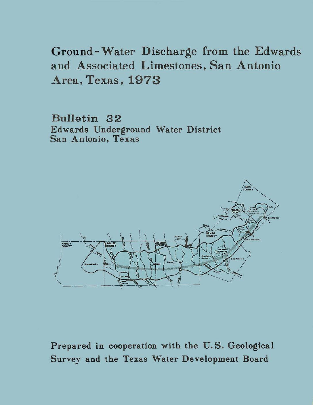
Description: Annual report for 1973 on discharge from the Edwards Aquifer issued by the Edwards Underground Water District
Report Number: Bulletin 32
Location: Edwards Aquifer Balcones Fault Zone San Antonio Segment
Summary:The estimated total well and spring discharge from the Edwards and associated limestones in the San Antonio area during 1973 was 838,000 acre-feet, which is the record high for the period 1934-73. The increase was due primarily to above-average springflow.
The total discharge from wells and springs for 1973 was about 12 percent more than in 1972, and 53 percent greater than the average for 1934-72.
About 37 percent of the total discharge came from wells, and approximately two-thirds of this discharge was from wells in Bexar County. Well discharge in 1973 was 16 percent less than in 1972, while springflow increased by about 41 percent.
Ground-Water Discharge from the Edwards and Associated Limestones, San Antonio Area, Texas, 1972
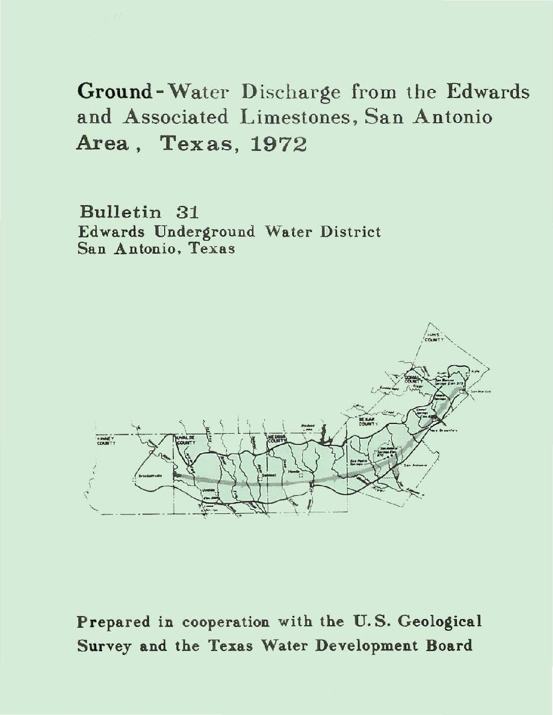
Description: Annual report for 1972 on discharge from the Edwards Aquifer issued by the Edwards Underground Water District
Report Number: Bulletin 31
Location: Edwards Aquifer Balcones Fault Zone San Antonio Segment
Summary:The estimated total well and spring discharge from the Edwards and associated limestones in the San Antonio area during 1972 was 747,100 acre-feet, which is the record high for the period 1934-72. The increase was due primarily to above-average springflow.
The total discharge from wells and springs for 1972 was about 10 percent more than in 1971, and 38 percent greater than the average for 1934-71.
About 50 percent of the total discharge came from wells, and approximately two-thirds of this discharge was from wells in Bexar County. Well discharge in 1972 was 10 percent less than in 1971, while springflow increased by about 37 percent.
Ground-Water Discharge from the Edwards and Associated Limestones, San Antonio Area, Texas, 1971
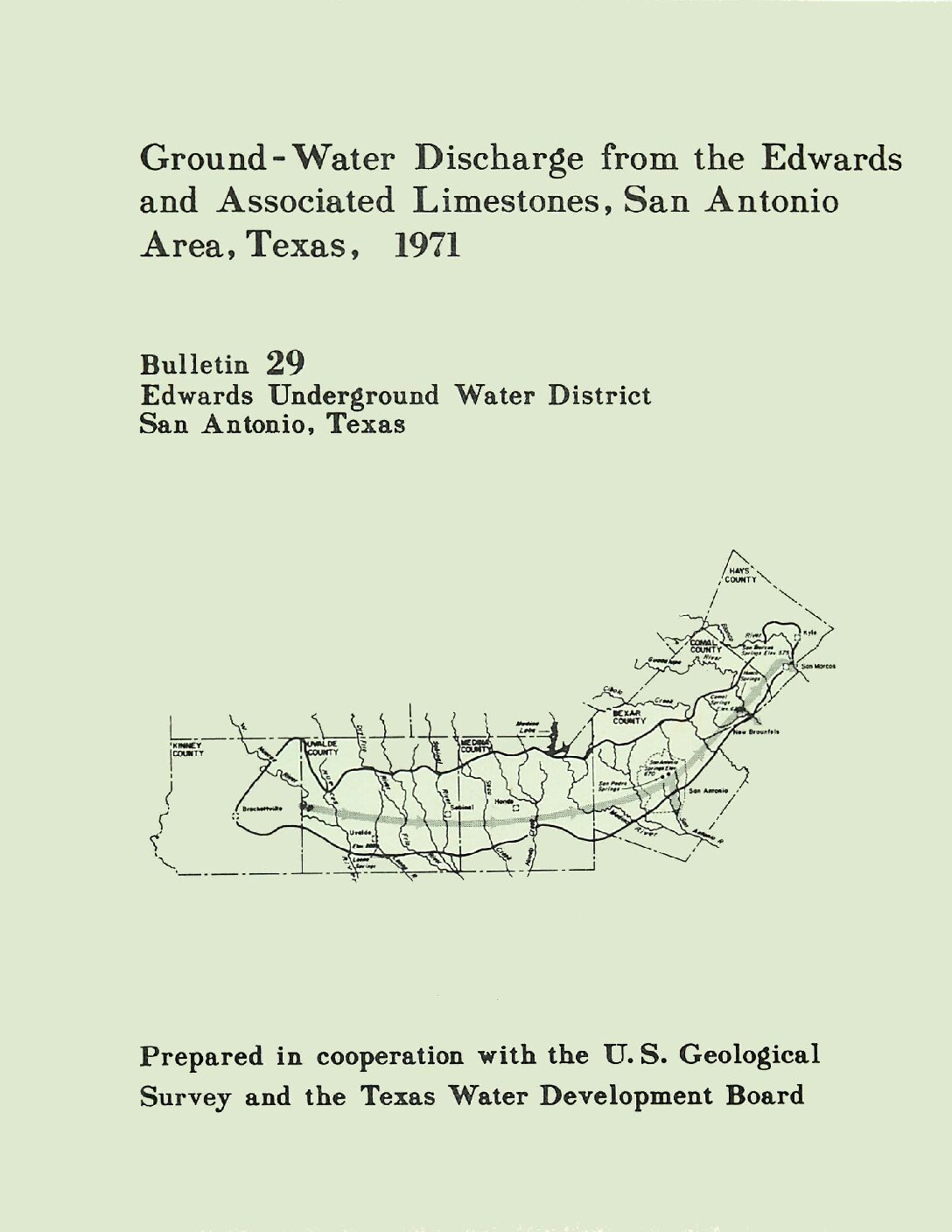
Description: Annual report for 1971 on discharge from the Edwards Aquifer issued by the Edwards Underground Water District
Report Number: Bulletin 29
Location: Edwards Aquifer Balcones Fault Zone San Antonio Segment
Summary:The estimated total well and spring discharge from the Edwards and associated limestones in the San Antonio area during 1971 was 679,500 acre-feet, or about seven percent less than 1970. The total discharge was 26 percent greater than the average for 1934-70.
About 60 percent of the total discharge came from wells, and approximately two-thirds of this discharge was from wells in Bexar County. Well discharge in 1971 was 24 percent greater than in 1970, while springflow decreased by about 30 percent.
Deficient rainfall during the spring and early summer of 1971 was mainly responsible for the increased demand for water from wells and the decrease in the discharge of the springs.


