 Conditions
Science & Data Document Library
Science and Data Resources
North Bexar County Water Resources Study for the Edwards Underground Water District-Executive Summary and Volume I Ground Water
Description: Study of the Upper, Middle, and Lower Trinity aquifers and nearby surface waters as potential sources of fresh water for Northern Bexar County in the future. Notes: This report is included for its historical value and may have been replaced by more recent studies. Page-size version of the plate is at the end of the report. Large-format version of the original plate is 216 MB. Available upon request at info@edwardsaquifer.org
Location: North Bexar County, Upper, Middle and Lower Trinity Aquifers
Summary:Note: This document is included for its historical value and may have been replaced by more recent studies.
The study area of north Bexar County measures approximately 290 square miles and is bounded on the west, north and east by the county line and by the down-dip limit of the Edwards Aquifer Recharge zone on the south. It is located in the south central region of Texas as shown in Figure 1. The study area is located within the Balcones fault zone, a region of faulted and fractured limestone. Due to the amount of fractures and faults, most streams in the area are intermittent and flow only during and immediately after rain events. Consequently, water is supplied to the study area population almost exclusively from groundwater by the Edwards and Trinity aquifers.
In 1990, the population of north Bexar County numbered approximately 27,900 with an average historical growth rate since 1960 of approximately 80 percent per decade. With limited water resources in the area, growing demand upon the Trinity aquifer is becoming a concern. This study, developed in response to the increasing demand, consists of two main portions which are presented in separate volumes.
Volume 1 was prepared by William F. Guyton Associates, Inc. It discusses ground-water conditions and the dependability, quality, and quantity of ground water that is being used within the study area for domestic, stock, public supply, industry, and irrigation purposes. A water balance for the Trinity group aquifer is presented and areas favorable for artificial recharge and/or aquifer storage and recovery projects are identified.
Volume 2 was prepared by W.E. Simpson Company, Inc. It compares the growing demand for water in the study area with the limited groundwater supply. Volume 2 estimates future demands, establishes corresponding target supply quantities and investigates alternative water resources and their abilities to provide target supply quantities. Water quantity, quality, and the cost of resource development are considered in the evaluation. Several alternative resources are ranked accordingly and recommendations are made for further study.
The reader should note the preliminary nature of the study. All figures, except for actual test results, are estimates for helping to determine future courses of study and should not be considered as actual designs, costs, or quantities.
New Braunfels-San Marcos Crystal Clear Surface Water Development
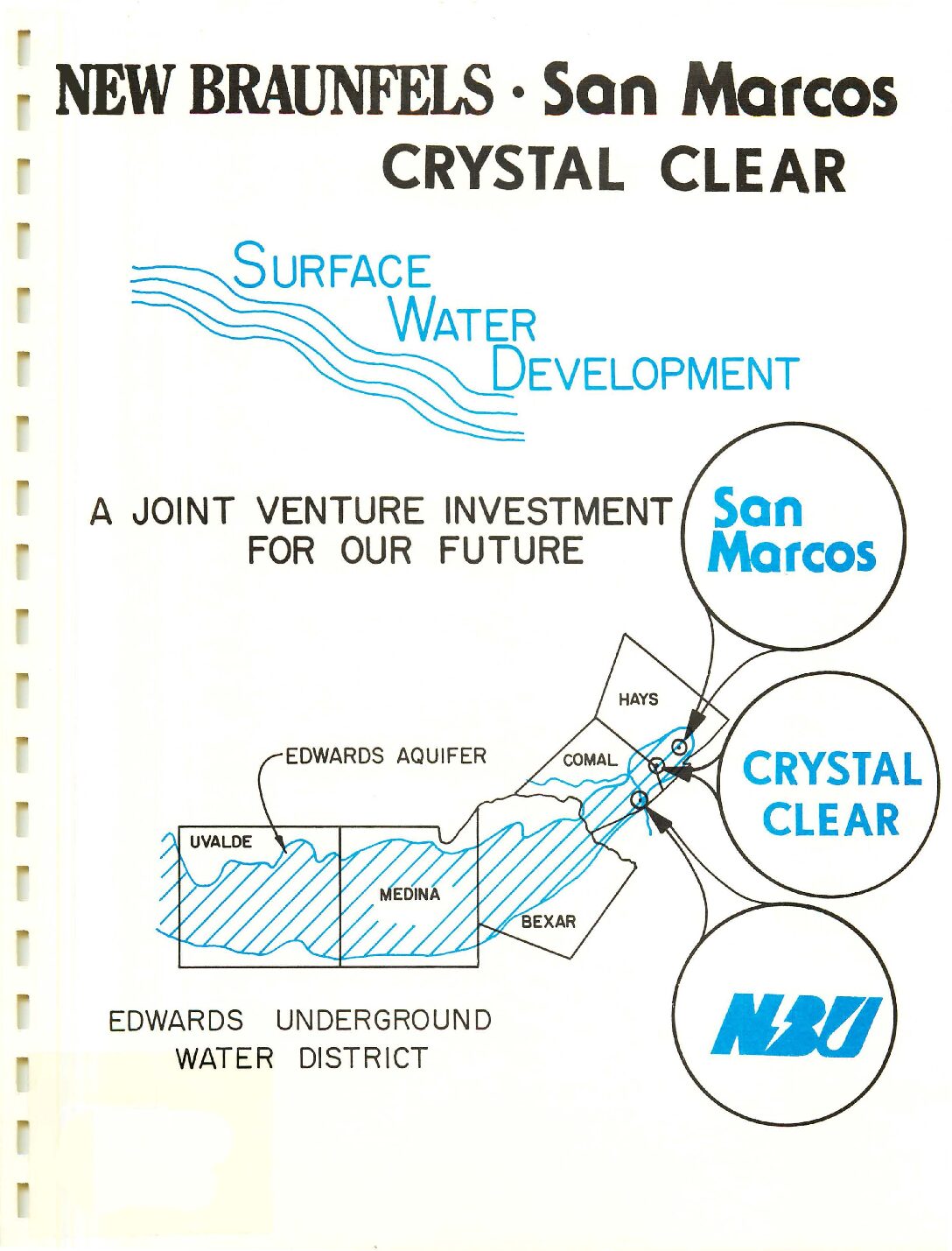
Description: Request for funding from the Edwards Underground Water District for a surface water source and treatment plant for New Braunfels, Crystal Clear and San Marcos, TX. Note: This document is included for its historical value.
Location: New Braunfels, San Marcos
Summary:Note: This document is included for its historical value.
ENCLOSED IS A FIRST-PHASE REPORT ON THE NEW BRAUNFELS-SAN MARCOS-CRYSTAL CLEAR SURFACE WATER TREATMENT FACILITY. OUR COMMUNITIES ARE IN COOPERATIVE SUPPORT IN THE DESIGN. CONSTRUCTION AND DELIVERY OF AN EDWARDS AQUIFER ALTERNATIVE FOR OUR FUTURE WATER RESOURCE.
WE REALIZE THE EVER-PRESSING DEMANDS BEING MADE BY THOSE UTILIZING THE EDWARDS. AND THE IMPLICATIONS IMPOSED TO THAT LIMITED SUPPLY ON OUR PRESENT AND FUTURE NEEDS.
WE ALSO KNOW OUR POTENTIAL EXPOSURE TO POLLUTION OF OUR EDWARDS THROUGH CHEMICALS. FUELS. OR GENERAL UNCONCERN.
THIS REGIONAL APPROACH TO A SURFACE WATER SUPPLY WILL UTILIZE CANYON LAKE CONSERVATION WATER COURSED DOWN THE GUADALUPE RIVER TO A TREATMENT SITE (ALREADY PURCHASED). TREATED. THEN DISTRIBUTED ALONG INTERSTATE 635 TO SAN MARCOS. CRYSTAL CLEAR AND NEW BRAUNFELS. SUPPLYING BASE LOADED QUANTITIES OF WATER TO EACH COMMUNITY. ADDITIONAL WATER REQUIREMENTS WILL ·BE SUPPLIED FROM OUR EXISTING EDWARDS WELLS.
IT IS A COMPLEX PROCEDURE. THERE IS THE TEXAS WATER COMMISSION AND WATER RIGHTS: THE GUADALUPE-BLANCO RIVER AUTHORITY AND WATER PURCHASE:
COMMUNITY POLITICAL AND FINANCIAL SUPPORT; AND CERTAINLY SUPPORT. AND WE WOULD HOPE AN INVESTING SUPPORT BY THE EDWARDS UNDERGROUND WATER DISTRICT IN THIS THE FIRST SIGNIFICANT APPROACH TO PRESERVING THE EDWARDS.
WHAT OUR CUSTOMERS ARE COMMITTING TO IS NOT ONLY THE INITIAL CAPITAL EXPENSE TO BUILD THE PLANT. BUT AN ACCEPTANCE OF LONG-TERM INCREASED WATER COST FOR ITS CONTINUED USE.
NOT AS A PART OF OUR DECISION OUR DECISION IS MADE. BUT AS A STRONG INDICATION OF SUPPORT. WE WOULD NOW ASK THE EDWARDS BOARD TO FINANCIALLY HELP US.
AS IS INDICATED IN THE REPORT. FIRST-PHASE COSTS WILL EXCEED $7 MILLION WITH AN ADDITIONAL $10-11 MILLION NEEDED FOR ITS SECOND ADDITION. WE WOULD ASK YOUR SUPPORT FOR AT LEAST $5 MILLION AND TO ESTABLISH WITH THIS GRANT A PRECEDENT FOR ALL TO SEE THAT THE EUWD IN COOPERATION WITH THOSE DEDICATED COMMUNITIES, CAN MAKE A DIFFERENCE.
Regional Water Resources Plan for the Edwards Aquifer
Description: Insight into the joint planning process between the City of San Antonio and the Edwards Underground Water District for preserving quality and quantity of water in the Edwards Aquifer. Note: This report is included for its historical value and may have been replaced by more recent studies.
Location: Edwards Aquifer-San Antonio Region
Summary:This plan deals with water resources in the region consisting of Uvalde, Medina,, Bexar, Comal and Hays Counties. It presents a policy framework for water resources planning between 1990-2040 and lays out the next steps for implementation. It is the product of a unique joint planning effort by the City of San Antonio and the Edwards Underground Water District.
The precise beginning of any planning process is difficult to identify because many past decisions may have led up to initiation of the current plan. Sometime in the 1970s it became evident that· a water resources plan for San Antonio must be developed within a larger regional context. It also became evident that this would require a regional consensus which did not then exist on the policies and actions that would be needed to implement the plan.
The realization of the need for a regional consensus led to an agreement between the City of San Antonio and the Edwards Underground Water District in November 1983 to develop this plan. The Memorandum of Understanding between these two agencies initiated a joint study of long range water needs and supply alternatives. Every effort was made to insure that the full range of issues was explored and that all interests were represented in the process. The resulting San Antonio Regional Water Resources Study (Figure E-1) was published in April 1986.
The Regional Water Resources Study identified the components that would constitute a regional water resources plan. It assembled data on future water demands and possible alternative sources, and analyzed the impacts of each alternative. It also suggested alternative implementation strategies.
One of the implementation recommendations was the formation of an Implementation Advisory Task Force. The objectives of the IATF were to learn about the issues, to educate others in the region, and to develop a consensus on policy recommendations to be considered by the District and the City. The IATF met throughout the summer and fall of 1986 and submitted its policy recommendations to the Joint Sponsors in December 1986.
At this point, two considerations were uppermost in the minds of the City Council and the Edwards District Board of Directors: (1) to provide adequate regional representation in the development of the plan; and (2) to create a workable decision-making process to ensure consensus on policy. These goals were accomplished by the appointment of a Joint Committee on Water Resources, representing both policymaking bodies. The Committee initially consisted of five members of City Council and five members of the Edwards Board of Directors, co-chaired by the Chairman of the Board and the Mayor of the City.
The Joint Committee met each week through the spring of 1987 to consider policy issues systematically. Discussions continued at these meetings until consensus was reached. Not all of the policy recommendations submitted by the IATF were adopted exactly as submitted, nor were all issues resolved. However, three extremely important elements of a Regional Water Resources Plan resulted from this effort.
First, a Joint Resolution was developed and adopted by the City Council and the Edwards Board of Directors in March 1987. This Resolution described the principles and policies accepted up to that point. The key policy held that the aquifer should not be over-drafted during periods of average rainfall, in order to ensure natural flows at Comal and San Marcos Springs.
The Joint Resolution was intended to inform the Legislature on the region's efforts and progress in developing a regional plan, and to obtain approval of the program as state policy. It was submitted to the Legislature in the 1987 session, but it was not passed due to the press of time and the emphasis on efforts to pass related legislation on drought management.
Second, the Joint Committee reached consensus on the immediate need for a plan to manage a regional drought emergency. Therefore the Joint Resolution contained a policy statement that the Edwards District would seek legislative authority to develop and implement a Drought Management Plan. An amendment to the Edwards District enabling statute was developed, submitted and approved by the Legislature as House Bill 1942. Since then, the Edwards District has been developing the Drought Management Plan in a separate process from this long range planning program.
Third, the Joint Committee found that its format and procedures facilitated the development of consensus. They fostered the mutual trust and respect necessary to the negotiation and consensus building process. The Committee therefore agreed to continue addressing policy issues in this forum until all issues were negotiated and agreed upon, including both water quality and quantity measures.
Development of the plan was continued throughout the summer of 1987 by a committee of the City Council examining water quality protection issues. The groundwork for this activity was established by the Joint committee in its policy statement number one: one of the ultimate goals of the Edwards aquifer region is to maintain the aquifer's current high water quality.
With technical assistance from the Edwards Underground Water District, cities in the region will adopt ordinances in 1987 for water quality protection to prevent degradation by contamination of sensitive areas of the aquifer. The ordinances will cover matters including but not limited to: using, producing, transporting or storing hazardous materials by commercial activities; assuring the integrity of sewer lines; protecting caves and sinkholes.
A zoning request for a new shopping mall on the aquifer recharge zone precipitated a controversy over the adequacy of regulations to protect the aquifer's water quality. The result was a public bearing and the formation of the City Council Committee on the Aquifer. This committee designated four intervenor groups to ensure that all views were considered in the course of its work. These represented environmentalist and community-based organizations, and the chambers of commerce and development industries. The committee heard from experts on each issue, along with questions and comments from the intervenors, at weekly meetings through the summer.
In September 1987, the Council Committee completed its report, The Edwards Aquifer: Perspectives for Local and Regional Action. The central policy statement was an unambiguous commitment: All policy should be based on a principle of no degradation in groundwater quality. Acceptance of this principle led the committee to examine potential sources of contamination along with procedures for dealing with them.
One possible major source of contamination was waste discharges or leaks from sewer lines and septic tanks. The Committee recommended improved specifications for sewer line construction and new controls on septic tanks. Another concern was the storage and transportation of hazardous materials. A major recommendation was to encourage the Texas Water Commission to amend the Edwards Aquifer Rules to regulate more stringently the storage of hazardous materials. Another was to work for legislation authorizing cities to establish transportation routes through their jurisdictions for hazardous materials shipments.
The Committee recommended a new methodology for review of the Water Pollution Abatement Plans which are required by the Texas Water Commission as a condition for development. The City was urged to amend its zoning ordinance to withhold approval of a zoning change until TWC had previously approved the WPAP.
Still another recommendation was the development of an enhanced mapping process to identify sensitive recharge features such as caves, sinkholes and faults. This information would be useful to both the regulators and those being regulated.
The report was adopted by a unanimous Council and endorsed by the Edwards Board of Directors. Implementation is being carried out according to a specific timetable. These actions have laid to rest the concern that water quality issues had to be considered first, before the quantity issues could be resolved.
The Joint Committee reconvened and modified its structure in October, 1987. The representation of the Edwards District was expanded to include one member of the Board from each of the District's five counties, along with the Board Chairman as Committee Co-chair. The City Council refreshed the selection of its five appointees, with the Mayor remaining as the other co-chair. The Committee was then expanded to include one representative of each of the three river authorities in the region-the san Antonio, Guadalupe-Blanco, and Nueces in order to increase the representation of downstream user interests. The intervenor process established by the City Council Committee was also instituted to enhance the level of citizen participation.
Since then the Joint Committee has gone through two distinct steps in the current phase of plan development. The first was a re-examination of the assumptions, results and conclusions of the Regional Water Resources Study. In this stage the Committee came to understand the complex interrelationships among recharge to
the aquifer, pumping demands, flows downstream in the Guadalupe and San Antonio River Basins, conservation and resulting demand reductions, wastewater reuse and its effect on water availability, the development of surface water supplies, and the necessity of a reasonable cost recovery mechanism. This resulted in a reaffirmation of the principles adopted in the spring 1987.
The second step has involved a series of policy decisions. The Committee realized that policy on one plan component could not be made in isolation from other issues. The Committee also came to understand that a large number of alternatives were available for selection as policy. A tool in the form of a planning model was developed (Table E-1.) A planning model in this sense presents numbers in an accounting framework for analysis of alternatives. The numbers in the model represent possible policy choices and they highlight the implications of choosing different values. Thus the Committee could quickly see the effect of using different numbers for groundwater withdrawals, conservation goals, wastewater reuse and surface water development, under both average and assumed drought conditions. The Committee steadily refined and adjusted its targets so that the impacts were as positive as possible for all categories of users in the region.
In refining the Planning Model, the Joint Committee arrived at policy recommendations on the following plan components:
Quantity of aquifer recharge to be assumed;
Projected future regional water demand;
Withdrawals of aquifer groundwater;
Conservation programs;
Wastewater reuse and downstream flows;
Surface water projects; and
Financing approaches.
Trans-Texas Water Program West Central Study Area Phase II Edwards Aquifer Recharge Analyses
Description: Compilation of four studies: Report 1 Guadalupe - San Antonio River Basin Recharge Enhancement Study Feasibility Assessment Report 2 Conceptual Evaluation of Springflow Recirculation Report 3 Modification of Principal Spillways at Existing Flood Control Projects for Recharge Enhancement Report 4 Edwards Aquifer Recharge Update Note: This document was included for historical value but has been replaced by the Texas Water Plan.
Location: Trans-Texas Water Program West Central Study Area
Summary:Compilation of four studies:
Report 1 Guadalupe San Antonio River Basin Recharge Enhancement Study Feasibility Assessment
Report 2 Conceptual Evaluation of Springflow Recirculation
Report 3 Modification of Principal Spillways at Existing Flood Control Projects for Recharge Enhancement
Report 4 Edwards Aquifer Recharge Update
Note: This document was included for historical value but has been replaced by the Texas Water Plan.
Edwards Underground Water District Water Conservation Benchmark Study
Description: Study to measure consumers' awareness and actions for water conservation. Note: This report is included for its historical value and may have been replaced by more recent studies.
Location: Edwards Underground Water District Jurisdiction
Summary:The Edwards Underground Water District requested a benchmark survey of consumers in the five county area to ascertain the level of awareness and implementation of household water conservation techniques. Specific objectives included the investigation of:
* extent of knowledge about the source of water supply in the five-county region,
* attitudes toward and knowledge of water usage,
* perceptions of the current source meeting the water needs of this region,
* current water conservation techniques employed at the household level,
* perceptions about the effectiveness of various measures and media to encourage water conservation, and
* recall of conservation messages disseminated by the Edwards Underground Water District and other groups
In addition to the primary questions, respondents were asked about their opinions about legislative action and taxes or fines as they might impact compliance with water conservation.
Overall the awareness of the Edwards Aquifer and the perceived need for water conservation are very high. However, based on the comparison of current situation and future needs, this sample clearly believes limits may need to be set now, and may become more necessary in the future, in order to have enough water to meet future water needs. Local governmental involvement is the preferred level in terms of limiting such usage.
More study needs to be undertaken regarding the setting of standards for water usage by businesses who depend upon water for their livelihood, as a majority of the sample feel that this group's needs should be addressed separately. This sample is strongly in favor of requirements to install water conservation devices in new homes and tax credits for installation of water conservation devices.
The public relations and advertising campaign had its desired impact in raising the level of awareness of specific water conservation techniques based on the playback by respondents of the types of actions they are currently taking to conserve water. However, many respondents believe that public awareness should be raised throughout the year, not only during the summertime, times of high usage, or times of crisis.
Regarding the effectiveness of media and measures, teaching children to carry forward the message of water conservation was perceived to be the most effective measure followed by television advertising. Perhaps next year's campaign should include a greater emphasis on this influential target. Also it is recommended that the EUWD consider a paid television advertising schedule in subsequent campaigns to ensure the greatest reach and frequency of the conservation message.
Penalties for wasting water were also perceived to be effective motivators, followed by free installation of water saving devices and rewards for lower usage. Education and advertising were mentioned most frequently as other means to spread the message of the need for water conservation and change behavior.
This sample believes that the individual can make a difference, and the Edwards Underground Water District should take full advantage of this belief by continuing its message to individuals as well as taking on the larger, more complex water users identified by the respondents: business and industry.
The Edwards Underground Water District should continue its efforts to distribute literature, water conservation kits, and analyze the attitudes and behaviors of the residents in this five-county region. Future research should continue to measure individuals' conservation efforts to determine if a greater percentage .. of the population is adopting water conservation measures and if those who are already conserving are finding more ways in which to contribute to conservation efforts.
Future research should also be directed at the four counties with more rural population to determine if their attitudes are significantly different that the more urban Bexar County. Without other organizational units competing for share of voice, the EUWD message could be more impactful in these regions.
Survey Report on Edwards Underground Reservoir Guadalupe, San Antonio and Nueces Rivers and Tributaries, Texas. Volume 2 Appendices I, II, IV, VI
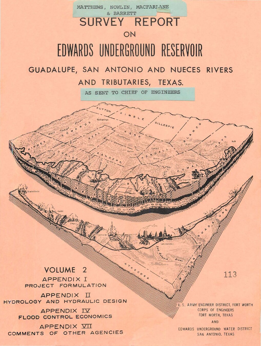
Description: Note: This report is included for its historical value and may have been replaced by more recent studies. Volume 2 (Appendices I, II, IV, VI ) of survey by the US Army Corps of Engineers and the Edwards Underground Water District, emphasizing possible locations for reservoirs and containment systems.
Location: Edwards Aquifer, Guadalupe River, San Antonio River, Nueces River
Summary:Note: This report is included for its historical value and may have been replaced by more recent studies. Volume 2 (Appendices I, II, IV, VI ) of survey by the US Army Corps of Engineers and the Edwards Underground Water District, emphasizing possible locations for reservoirs and containment systems.
New Braunfels-San Marcos Surface Water Development
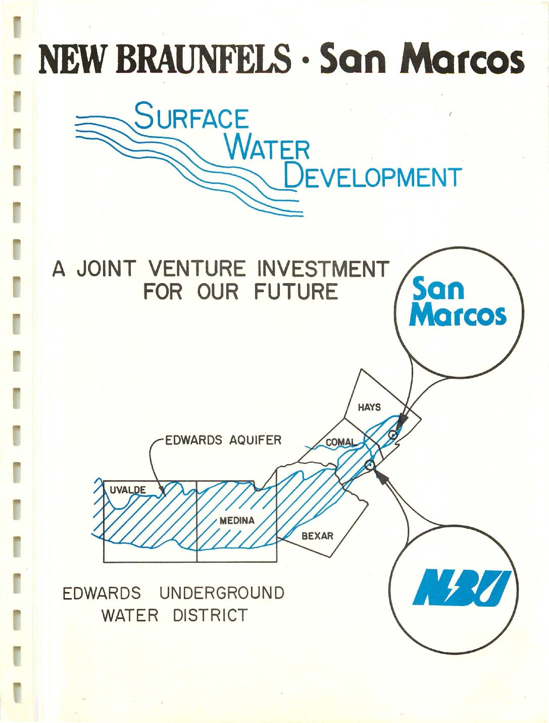
Description: Discussion of developing surface water as a supplementary water source for New Braunfels and San Marcos Note: This document is included for its historical value.
Location: New Braunfels, TX
Summary:When considering the advantages and disadvantages of developing surface water supply and treatment facilities, several factors, which will potentially affect the feasibility of the project become very apparent. Some of these factors are:
1) There is no less expensive source of water than the Edwards Aquifer, provided that the quality of the water in the aquifer remains good and the availability remains plentiful.
2) The development of a surface water supply cannot compete with Edwards Well water on a cost-effectiveness basis.
3) If there is sufficient desire for the New Braunfels Utilities to develop a surface water supply, as a second water supply source, it can be accomplished based on water rate increases of 15 cents to 45 cents per thousand gallons, depending upon the alternative plant capacity selected.
4) The required rate increase for customers of the New Braunfels Utilities would not be affected significantly by New Braunfels' development of the system, as opposed to New Braunfels Utilities participation in a regional project. However, the other participants in the regional project could be affected significantly by New Braunfels' participation, due to the economy of scale of the project.
5) Development of the project by GBRA, with participation by New Braunfels Utilities could be advantageous to both entities for the following reasons:
a) New Braunfels' Bonding Capacity would not be used to develop the project.
b) GBRA could possibly utilize Run-of-the River permits and thus reduce the raw water cost by not taking total flows from storage at Canyon Dam.
Edwards Underground Water District strategic plan (1994-2004)
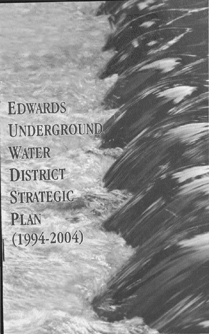
Description: Goals and objectives for the Edwards Underground Water District from 1994-2004. Note: This document is included for its historical value and has been replaced by more recent ones.
Location: Edwards Aquifer Balcones Fault Zone San Antonio Segment
Summary:Goals and objectives for the Edwards Underground Water District from 1994-2004. Note: This document is included for its historical value and has been replaced by more recent ones.
San Antonio & Guadalupe River Basins Study (Report to US Congress)
Trans-Texas Water Program West Central Study Area Phase I Interim Report Volume 5 / Comments Received from the Advisory Committee for Public and Technical Input
Description: Comments on public input for Phase I of the Trans-Texas Water Plan for West Central Texas
Location: West Central Texas
Summary:Comments on public input for Phase I of the Trans-Texas Water Plan for West Central Texas
Edwards Underground Water District Drought Management Plan
Description: Trigger conditions and actions to manage the Edwards Aquifer under conditions of drought. Note: This document is included for historical value and may have been replaced by more recent documents, including the Habitat Conservation Plan.
Location: Edwards Aquifer
Summary:[Note: This document is included for historical value and may have been replaced by more recent documents, including the Habitat Conservation Plan.]
The Drought Management Plan (DMP) provides objective standards for determining that drought conditions exist, how long they continue and when a drought has ended. These standards also define increasing stages of drought severity. Drought conditions and stages are defined by hydrologic parameters which will be monitored by the District. Reduction goals and demand reduction measures are also established for each stage of drought severity.
Upon declaration of a drought, users will be required to initiate demand reduction measures to reduce pumping of the aquifer. Minimum demand reduction measures are defined in this document.
Additional measures will be identified in User Drought Management Plans (UDMPs) which the users must prepare pursuant to District rules. The combination of this District Drought Management Plan document and the UDMPs constitute the District's complete drought management program.
Programmatic Assessment: Proposed Rules 31 TAC Chapters 701, 702, 703, 705, 707, 709, 711 Part 2
Description: Part 2 of report on interviews of stakeholders and analysis of how to implement the Edwards Authority Act
Location: EAA geographical jurisdiction
Summary:[from the Executive Summary]
In 1993, the Texas Legislature passed the Edwards Authority Act (the Act), which created the Edwards Aquifer Authority (EAA, or Authority). The Act mandates that the Authority restrict and reduce the withdrawals of groundwater from the Edwards Aquifer, which is the primary water supply for more than 1.5 million Texans in and near San Antonio. The primary aim of the Act is to ensure that the region complies with the federal Endangered Species Act, a law that protects endangered and threatened species that rely on aquifer-fed spring flows for their habitat. The Authority's initial rules will limit permitted withdrawals to 450,000 acre-feet per year (AFY), which is less than needed for existing and future municipal, industrial, and irrigation purposes .
The Authority is in the process of adopting rules to implement the Act. Under Texas law, the Authority must complete several assessments specified in the Government Code. The assessments are intended to help the Authority to choose among policy options and to disclose the effects of the rules to the public. This report is a Programmatic Assessment of the initial rules prepared by the Authority's Rules Assessment Team. The Authority invites the public to review and comment on this document so the Authority's Board of Directors can make decisions based on the best available information.
In making the findings contained in the Programmatic Assessment and reported in this Executive Summary, the Assessment Team interviewed representatives from major stakeholder groups, used quantitative models to estimate certain economic and environmental effects, and evaluated regulatory alternatives.
The principal direct effects of the proposed rules are: (1) to limit withdrawals from the Edwards Aquifer, which will leave many users (especially municipalities) short of water and therefore facing increased costs to acquire replacement supplies; (2) to increase fees paid by users of Edwards water; and (3) to create a marketplace that will function primarily to cause abandonment, retirement, and transfer of irrigation rights.
Trans-Texas Water Program West Central Study Area Public Participation / Stakeholder Involvement Program Final Report
Description: Summary of stakeholder involvement in the 1998 Trans-Texas Water Program West Central Study Area
Location: West Central Texas
Summary:Summary of stakeholder involvement in the 1998 Trans-Texas Water Program West Central Study Area. Personal information has been omitted. Note: This report is included because of its historical value. It has been replaced by more recent plans.
Trans-Texas Water Program West Central Study Area Letter of Intent Analysis
Description: Feasibility and cost analysis for providing surface water to San Antonio from the Guadalupe River. Note: This report is included because of its historical value but has been replaced by more recent plans.
Location: San Antonio Region-Guadalupe River Basin
Summary:This is a detailed feasibility and cost analysis for providing surface water to San Antonio from the Guadalupe River.
Note: This report is included because of its historical value but has been replaced by more recent plans.
Programmatic Assessment: Proposed Rules 31 TAC Chapters 701, 702, 703, 705, 707, 709, 711 Part 3
Description: Part 3 of report on interviews of stakeholders and analysis of how to implement the Edwards Authority Act
Location: EAA geographical jurisdiction
Summary:[from the Executive Summary]
In 1993, the Texas Legislature passed the Edwards Authority Act (the Act), which created the Edwards Aquifer Authority (EAA, or Authority). The Act mandates that the Authority restrict and reduce the withdrawals of groundwater from the Edwards Aquifer, which is the primary water supply for more than 1.5 million Texans in and near San Antonio. The primary aim of the Act is to ensure that the region complies with the federal Endangered Species Act, a law that protects endangered and threatened species that rely on aquifer-fed spring flows for their habitat. The Authority's initial rules will limit permitted withdrawals to 450,000 acre-feet per year (AFY), which is less than needed for existing and future municipal, industrial, and irrigation purposes .
The Authority is in the process of adopting rules to implement the Act. Under Texas law, the Authority must complete several assessments specified in the Government Code. The assessments are intended to help the Authority to choose among policy options and to disclose the effects of the rules to the public. This report is a Programmatic Assessment of the initial rules prepared by the Authority's Rules Assessment Team. The Authority invites the public to review and comment on this document so the Authority's Board of Directors can make decisions based on the best available information.
In making the findings contained in the Programmatic Assessment and reported in this Executive Summary, the Assessment Team interviewed representatives from major stakeholder groups, used quantitative models to estimate certain economic and environmental effects, and evaluated regulatory alternatives.
The principal direct effects of the proposed rules are: (1) to limit withdrawals from the Edwards Aquifer, which will leave many users (especially municipalities) short of water and therefore facing increased costs to acquire replacement supplies; (2) to increase fees paid by users of Edwards water; and (3) to create a marketplace that will function primarily to cause abandonment, retirement, and transfer of irrigation rights.


