 Conditions
Science & Data Document Library
Science and Data Resources
South Central Texas Regional Water Planning Area 2006 Regional Water Plan Volume I Executive Summary and Regional Water Plan
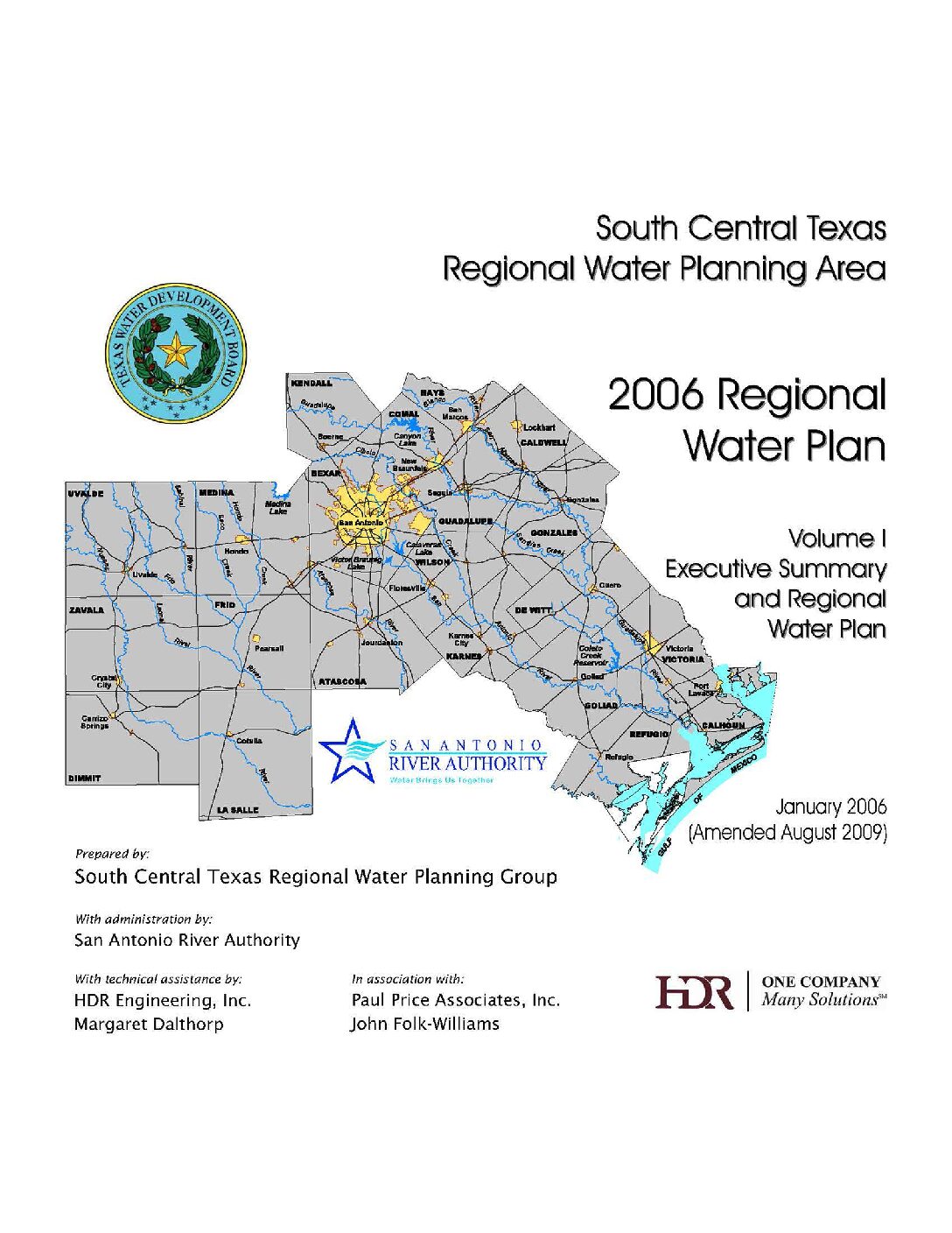
Description: Volume 1 of the 2006 South Central Texas Regional Water Plan. Note: This report is included for its historical value but has been replaced by the 2011 South Central Texas Regional Water Plan, and ultimately by the Texas Water Plan. Note changes in cover letter.
Report Number: HDR-07755099-05 (HDR-000000000108849-09)
Location: South Cemtral Texas
Summary:Note changes in cover letter.
Executive Summary and Regional 2006 water plan for South Central Texas as required by law.
Topics include:
- Background
- Description of South Central Texas Region
- Population and Water Demand Projections
- Water Supply
- Water Demand and Water Supply Comparisons
- Water Management Strategies to Meet Projected Water Needs
- Regional Water Plan Summary
South Central Texas Regional Water Planning Area 2001 Regional Water Plan Volume III Technical Evaluations of Water Supply Options Part 2
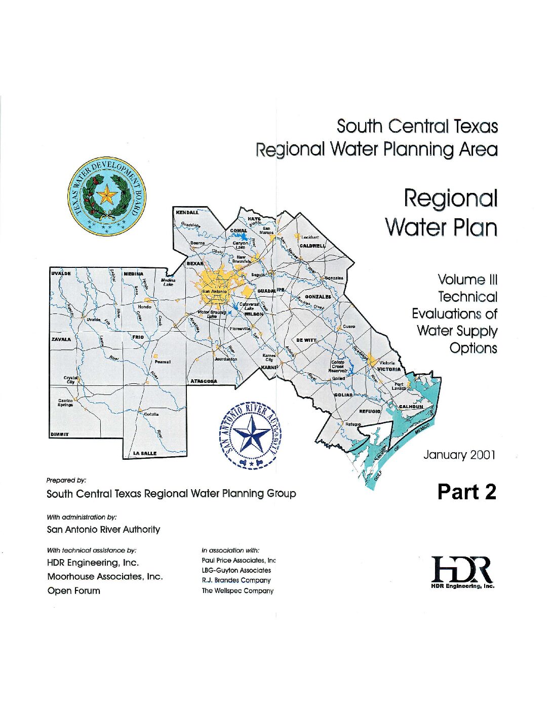
Description: Part 2 of Volume III of three volumes of the 2001 South Central Texas Regional Water Plan. Note: This report is included for its historical value but was replaced by the 2006 South Central Texas Regional Water Plan, the 2011 South Central Texas Regional Water Plan, and eventually by the Texas Water Plan.
Location: South Central Texas
Summary:Table of Contents of Volume III:
- Local/Conservation/Reuse/Exchange Options
- Edwards Aquifer Recharge Options
- River Diversions with Storage Options
- Existing Reservoir Options
- Potential New Reservoir Options
- Carrizo and Other Aquifer Options
Appendices
A. Cost Estimating Procedures
B. Environmental Water Needs Criteria of the Consensus Planning Process
C. Technical Evaluation Procedures for Edwards Aquifer Recharge Enhancement Options
D. Threatened and Endangered Species by County
E. Threatened and Endangered Species Related to Edwards Aquifer
F. Application of Consensus Environmental Criteria
Trans-Texas Water Program West Central Study Area Phase II Comments
Description: Comments from various government and business stakeholders on different sections of Phase 2 of the 1998 Trans-Texas Water Program West Central Study Area Note: This document was included for historical value but has been replaced by the Texas Water Plan.
Location: Trans-Texas Water Program West Central Study Area
Summary:Comments from various government and business stakeholders on different sections of Phase 2 of the 1998 Trans-Texas Water Program West Central Study Area
Note: This document was included for historical value but has been replaced by the Texas Water Plan.
San Antonio Regional Water Resource Study
Description: Analysis of regional water needs from 1980-2040. Note: This report is included for its historical value and may have been replaced by more recent studies.
Location: San Antonio Region
Summary:Recognizing the need for long range water resource planning, the Edwards Underground Water District (EUWD) and the City of San Antonio jointly sponsored a comprehensive eighteen-month study of regional water resources and needs. The sponsors appointed a Technical Advisory Committee to oversee the study, which was conducted by CH2M HILL. This report summarizes the study findings.
The study focuses on regional water needs from the base year of 1980 to the year 2040. The region is divided into a primary area including the counties that overlie the Edwards
Aquifer (Uvalde, Medina, Bexar, Comal and Hays Counties) and a secondary area comprised of the remainder of the Nueces, San Antonio and Guadalupe River Basins. The major goal of the study is to develop three alternative courses of action for regional water resource management, with each representing a potential regional plan that includes provision for needed facilities (wells, pipelines and reservoirs), methods of financing, and the legal and institutional framework necessary for implementation. All alternatives are designed to:
- Protect Edwards Aquifer water quality.
- Assure adequate water supplies to support growth and development.
- Provide water at the lowest equitable cost while minimizing adverse impacts.
- Encourage timely funding while retaining flexibility.
- Minimize restrictions on water use.
- Strengthen the regional water resources planning process.
The three alternatives to the status quo were established by first considering what options were available for environmental protection, water sources, financing, cost recovery and implementation within the framework of the goals set. Options in each of these areas were considered potential building blocks that could be used to construct alternatives. The hundreds of possible combinations of options were then screened to obtain reasonable combinations that represent likely possibilities for consideration.
- Initial design of alternatives took place under the following guidelines:
- Present Policies (status quo}: Use existing water sources and policies only.
- Alternative I: Use any existing or new water sources within the framework of existing laws and institutions.
- Alternative II: Use any water sources except new reservoirs, and allow for new laws and institutions.
- Alternative III: Use existing or new water sources and allow for new laws and institutions.
The building-block elements of facilities, financing methods and legal/institutional provisions that make up each alternative could be modified or exchanged for similar building blocks from other alternatives. This provides the means for arriving at a consensus of regional opinion in seeking to adopt a plan and adds flexibility during the implementation phase.
Existing information sources were used on water sources and demand projections. New work centered primarily on the combination of water sources that might be used and on the means for implementing a regional plan.
The first three chapters of the study describe the goals, background, regional setting and approach of the study. Chapter 4 describes potential water sources and forecasts future demand. This is followed by development and analysis of water supply facility alternatives in Chapter 5. Chapter 6 contains recommended action plans and financing options for the three water supply alternatives. The body of the report is followed by 15 appendices in two separate volumes covering technical engineering, economic, legal and financial subjects.
Trans-Texas Water Program West Central Study Area Phase II Population, Water Demand and Water Supply Projections
Description: Projections for population and water demand from 1990-2050 for the 1998 Trans-Texas Water Program West Central Study Area Phase II Note: This report is included for its historical value but has been replaced by more recent studies.
Location: Trans-Texas Water Program West Central Study Area
Summary:Note: This report is included for its possible historical value but has been replaced by the Texas Water Plan.
The objectives of this West Central Trans-Texas Study are as follows:
1. Present the TWDB 1996 consensus water planning population and water demand projections for the 32-county West Central study area, plus seven additional Nueces Basin counties. The projections will be tabulated by county and city within county for the following subareas of the West Central Study Area: (1) The Edwards Aquifer Authority Area, and (2) the Nueces, San Antonio, Guadalupe and Lower Colorado River Basin areas, respectively. For study areas of Bexar, Comal, and Guadalupe Counties, and the Mid-Cities area, projections of West Central Study Area Phase 2 Report Letter of Intent Analysis, San Antonio River Authority, et al, San Antonio, Texas, October, 1996, will be used. Projections will be shown in ten-year intervals starting in 1990 and ending in 2050. Population will be in numbers of people, and water demand projections will be in acre-feet per year for water use categories: (1) municipal, (2) industrial, (3) steam electric power general, (4) irrigation, (5) mining, ( 6) livestock, and (7) total water demand.
2. Using water supply information contained in the West Central Trans-Texas Phase I studies, water supply information of the 32-county West Central Trans-Texas study area will be tabulated for: ( 1) study area counties listed in objective 1, with counties and parts of counties and cities grouped by river basin subareas for the Nueces, San Antonio, Guadalupe, and Lower Colorado River Basin areas, the Brazos-Colorado, Colorado-Lavaca, Lavaca-Guadalupe, and San Antonio-Nueces Coastal Basin areas, study area counties and parts of counties of the adjacent Brazos and Lavaca Basins; and (2) cities of Bexar, Medina, Uvalde, and parts of Comal, Hays, Guadalupe, and Caldwell Counties located within the Edwards Aquifer Authority regional demand center. Projections will be shown in 10-year intervals starting in 1990 and ending in 2050.
3. Using results of objectives 1 and 2, water demand and water supply projections will be presented in tabular and graphic form, by decade from 1990 through 2050 for the counties, cities, river basins, and Edwards Aquifer Authority areas listed in objectives 1 and 2 above. The summaries will show surpluses and shortages for the water demand and water supply areas and centers.
The projections listed in the objectives will be based upon the following conditions, assumptions, and data:
A. The TWDB 1996 consensus water planning projections to be used are as follows:
1. Most likely population;
2. Most likely municipal water demand for below normal precipitation and advanced conservation;
3. Base oil prices, with conservation for manufacturing;
4. Series 3 irrigation (aggressive adoption of irrigation technology and a reduction in Federal Farm Programs by one-half);
5. Steam-Electric power high series;
6. Mining- TWDB only series;
7. Livestock-TWDB only series.
B. Assume 450,000 acft/yr pumpage from the Edwards Aquifer for years 1997 through 2007, and 400,000 acft/yr beginning in year 2008.
C. Texas Water Development Board (TWDB) groundwater information for counties of the study area.
D. The quantity of water supply from the Edwards Aquifer will be based on provisions of SB 1477, with pumpage set at 450,000 acft/yr for the period 1997 through 2007, and 400,000 acft/yr beginning in 2008, and the assumption that each entity which obtained water from the Edwards Aquifer in 1990 will have its 1990 pro rata share of Edwards pumpage in future years.
E. The quantity of surface water supply from reservoirs of the study area will be the firm yield of each respective reservoir, as determined by previous studies, and in accordance with water rights permits issued by the Texas Natural Resource Conservation Commission (TNRCC).
F. The quantity of dependable surface water supplies from run-of-river water rights permits will be calculated for study area counties of the Nueces and Guadalupe-San Antonio River Basins using the existing Nueces and Guadalupe-San Antonio River Basin models developed by HDR Engineering, lnc. These computations will be based upon Edwards Aquifer pumpage of 400,000 acft/yr. Dependable supplies of surface water from run-of-river permits for counties of the Lower Colorado River Basin will be tabulated from computer model results that were prepared by the Lower Colorado River Authority for use in the North Central Trans-Texas (NCTT) study.
Trans-Texas Water Program West Central Study Area Phase II Updated Evaluation of Potential Reservoirs in the Guadalupe River Basin
Description: Phase II of the West Central Texas water plan for the Trans-Texas Water Program, containing updated evaluations of potential reservoirs in the Guadalupe River Basin. Note: This report is included for its historical value but has been replaced by more recent studies.
Report Number: Phase II
Location: Guadalupe River Basin
Summary:Note: This report is included for its historical value but has been replaced by more recent studies.
In Phase I of the Trans-Texas Water Program for the West Central Study Area, six potential reservoirs located in the Guadalupe River Basin were evaluated: Cuero Reservoir (G-16), Lindenau Reservoir (G-17) (now referred to as Sandies Creek Reservoir), Guadalupe River Dam No.7 (G-19), Gonzales Reservoir (G-20), Lockhart Reservoir (G-21), and Dilworth Reservoir (G-22)1. The firm yield for each of these reservoirs was estimated using a water availability model in conjunction with a reservoir operation model (G-16 and G-17), adapted from earlier reports by government agencies or consulting firms (G-19, G-20, and G-21), or estimated from the yield of a nearby, similar project (G-22). Some of these potential reservoir projects could not be compared directly because the Phase I yield estimates were not consistent with regards to water rights considerations, period-of-record hydrology, and/or environmental flow requirements. Since the completion of Phase I studies, the Texas Water Development Board, the Texas Natural Resource Conservation Commission, and the Texas Parks and Wildlife Department have recommended new environmental flow requirements to be utilized in water resources planning efforts (Environmental Water Needs Criteria of the Consensus Planning Process, or Consensus Criteria).
The objective of this study is to provide updated evaluations of each of these potential reservoirs in the Guadalupe River Basin, using a consistent methodology so that the firm yield estimates can be compared directly. A seventh project not previously considered in the TransTexas Water Program, Cloptin Crossing Reservoir, is also evaluated herein. The updated evaluations include yields estimated considering (1) upstream and downstream water rights, (2) a consistent period-of-record hydrology, and (3) environmental flow requirements consistent with the Consensus Criteria.
The availability of water to each of the projects was determined using an updated version of the Guadalupe-San Antonio River Basin Modef (GSA Model). The availability of water to each project was evaluated on a standalone basis, independent of the other projects. Implementation of one project could reduce the availability of water to another project; hence. the firm yield estimated for one project cannot be added to that of another project.
The firm yield for each project was evaluated using a single-reservoir firm yield model, SIMDL Y, developed by the Texas Water Development Board and modified for this study. The SIMDL Y model was used to simulate the operation of each reservoir under a uniform demand using inflows estimated by the GSA Model. The SIMDL Y model was modified to enable pass-through flows to satisfy the Consensus Criteria environmental flow requirements, in various combinations with flows passed to meet downstream senior rights and freshwater inflow requirements to the Guadalupe Estuary.
The cost of each project was updated from the Phase I cost estimate to first-quarter 1996 dollars, with additional consideration given to land acquisition and environmental mitigation costs for some projects. The conservation storage capacities, firm yields, total annual costs, and annual unit costs (dollars per acft) are shown in Figure ES-1, along with an objective assessment of the expected effort for permitting and implementation. The firm yields range from 6,339 acft/year for Lockhart Reservoir to 145,448 acft/year for Cuero Reservoir. Annual project costs range from $3,910,000 for Lockhart Reservoir to $53,910,000 for Cuero Reservoir. Annual unit costs range from $320/acft for Gonzales Reservoir to $804/acft for Guadalupe River Dam No.7. The cost for Sandies Creek Reservoir includes facilities for diversion from the Guadalupe River near Cuero and transmission to the reservoir. The costs presented in this report are for raw water at the lake only, and include no additional transmission, treatment, or distribution costs.
Trans-Texas Water Program West Central Study Area Phase II Guadalupe-San Antonio River Basin Model Modifications & Enhancements
Trans-Texas Water Program West Central Study Area Phase II Summary Report of Water Supply Alternatives
Description: Discussion of water supply alternatives for the 1998 Trans-Texas Water Program West Central Study Area Phase II Note: This report is included for its possible historical value but has been replaced by the Texas Water Plan.
Location: Trans-Texas Water Program West Central Study Area
Summary:Note: This report is included for its historical value but has been replaced by the Texas Water Plan.
The objectives of this West Central Trans-Texas Study are to present summarized information from the previous Trans-Texas reports as follows:
*A summary of projected water demands and comparisons with existing water supplies for the West Central Study Area;
*Project data and information sheets describing each water supply alternative studied in the Trans-Texas program;
*A comparison of water supply alternatives studied in the Trans-Texas program; and
*Identification and discussion of other possible water supply alternatives.
The population and water demand projections are based upon the following conditions, assumptions, and data:
A. The TWDB 1996 consensus water planning projections, as follows:
1. Most likely population;
2. Most likely municipal water demand for below normal precipitation and advanced conservation;
3. Bas oil prices, with conservation for manufacturing;
4. Series 3 irrigation (aggressive adoption of irrigation technology and a reduction in Federal Farm Programs by one-half);
5. Steam-Electric power high series;
6. Mining TWDB only series;
7. Livestock- TWDB only series
B. The quantity of water supply from the Edwards Aquifer is based upon provisions of SB 1477, with pumpage set at 450,000 acft/yr for the period 1997 through 2007, and 400,000 acft/yr beginning in 2008, and the assumption that each entity which obtained water from the Edwards Aquifer in 1990 will have its 1990 pro rata share of Edwards pumpage in future years.
C. Texas Water Development Board (TWDB) groundwater information for counties of the study area.
D. The quantity of surface water supply from reservoirs of the study area is the firm yield of each respective reservoir, as determined by previous studies, and in accordance with water rights permits issued by the Texas Natural Resource Conservation Commission (TNRCC).
E. The quantity of dependable surface water supplies from run-of-river water rights permits was calculated for study area counties of the Nueces and Guadalupe-San Antonio River Basins using the existing Nueces and Guadalupe-San Antonio River Basin models developed by HDR Engineering, Inc. These computations were based upon Edwards Aquifer pumpage of 400,000 acft/yr. Dependable supplies of surface water from run-of-river permits for counties of the Lower Colorado River Basin were tabulated from computer model results that were prepared by the Lower Colorado River Authority for use in the North Central Trans-Texas (NCTT) study.
Trans-Texas Water Issues Survey Report West Central Study Area
Description: Survey Report of the West Central Texas water plan for the Trans-Texas Water Program. Note: This study is included for historical value but has been replaced by more recent plans.
Report Number: Survey Report
Location: West Central Texas
Summary:Note: This study is included for historical value but has been replaced by more recent plans.
The Trans-Texas Water Program is a cooperative effort among Texas' local, regional and state water resource agencies. The overall goal of the Trans-Texas Water Program is to identify the most cost-effective and environmentally sound strategies for meeting water needs both now and for the next 50 years throughout Texas. Central to the Trans-Texas Program is a commitment to involving the public and other stakeholders in water planning efforts.
This public issues survey is part of the public participation process for the 33 county Trans-Texas West Central study area (see map, Appendix A). It is overseen by the Policy Management Committee (PMC), which is made up of various local, regional, and state agencies concerned with water planning. This survey is a major component of Task 3, Public Process Strategy Formulation, where input from the public and stakeholders is being gathered. It helps meet the PMC's commitment to its Principles of Participation which state that no present or long-term water strategy can be implemented without the general support and consent of the public and stakeholders
The goals of this survey were to:
*Establish a baseline of the public's awareness, attitudes, and concerns about water issues, against which any changes can be measured
*Inform our public/stakeholder involvement efforts by obtaining insights on such questions as what information do citizens need? and who do citizens trust to tell them about water issues?
Dethman & Associates designed the telephone survey instrument, managed the survey process, and wrote the report. ProMark Research, a San Antonio public opinion research firm, fielded the survey, translated responses into computer readable form, and provided the data tables upon which this report is based. ProMark conducted the survey in accordance with the statistical standards and methods established by the Council of American Survey Research Organizations (CASRO).
Interviews were completed with a representative sample of 500 randomly selected households in the study area; this sample size is very reliable, and carries with it a + or 4.5%, margin of error in 95 samples out of 100. The survey was pre-tested and fielded during April 1996.
Key Findings
Water Supply and Quality
*Two-thirds of residents in the study area were concerned their communities will face significant water shortages within the next five years, even though only half of all residents had actually experienced a drought.
Still, a significant portion of residents (33%) said they were not concerned about water shortages.
When asked why they were concerned about shortages, residents cited dwindling resources, no alternative supplies, the likelihood of droughts, and growth in their communities. Those less concerned felt that supplies are adequate or that their communities have good water management practices.
*Living through a drought, and feeling informed about water issues, were likely to make people more concerned about future water supplies.
*When asked if they were more concerned about having enough water or about the quality of their water, respondents were more likely to say they were concerned about water supply (56%) than water quality (32%).
Planning for Future Water Supplies
*Overall, both urban and rural areas received high overall ratings for managing their water resources (over 65% agreed cities and rural areas are doing a good job). And, both urban and rural residents held similar views of city water management efforts (75%, of both groups thought cities were doing a good job).
*Urban and rural residents, however, rated rural water management efforts differently: 58% of urban residents, compared to 81 % of rural reSidents, thought rural areas were doing a good job managing water resources.
*Conservation was most often mentioned as the single most important thing to do to ensure water for the future. Conservation was the most well known supply option and the most supported far ahead of any other option.
*Residents appeared to support the concept of transferring water in theory: 84% agreed that areas of Texas with water surpluses should be willing to share their water with areas of Texas that need water, at least temporarily. However, residents were less supportive of a prerequisite for water transfer regional planning (68% agreed). Just over half of respondents did not know about water transfer; of those who did, more were negative (37%) than positive (27%) about it.
*Residents chose having a reliable supply as the highest priority, followed closely by water quality but more distantly by keeping the cost of water low, suggesting residents may feel more flexible about cost than about either reliability or quality. Residents thought environmental protection is also important to consider in choosing water supply options.
Making
Note: This study is included for historical value but has been replaced by more recent plans.
The Trans-Texas Water Program is a cooperative effort among Texas' local, regional and state water resource agencies. The overall goal of the Trans-Texas Water Program is to identify the most cost-effective and environmentally sound strategies for meeting water needs both now and for the next 50 years throughout Texas. Central to the Trans-Texas Program is a commitment to involving the public and other stakeholders in water planning efforts.
This public issues survey is part of the public participation process for the 33 county Trans-Texas West Central study area (see map, Appendix A). It is overseen by the Policy Management Committee (PMC), which is made up of various local, regional, and state agencies concerned with water planning. This survey is a major component of Task 3, Public Process Strategy Formulation, where input from the public and stakeholders is being gathered. It helps meet the PMC's commitment to its Principles of Participation which state that no present or long-term water strategy can be implemented without the general support and consent of the public and stakeholders
The goals of this survey were to:
*Establish a baseline of the public's awareness, attitudes, and concerns about water issues, against which any changes can be measured
*Inform our public/stakeholder involvement efforts by obtaining insights on such questions as what information do citizens need? and who do citizens trust to tell them about water issues?
Dethman & Associates designed the telephone survey instrument, managed the survey process, and wrote the report. ProMark Research, a San Antonio public opinion research firm, fielded the survey, translated responses into computer readable form, and provided the data tables upon which this report is based. ProMark conducted the survey in accordance with the statistical standards and methods established by the Council of American Survey Research Organizations (CASRO).
Interviews were completed with a representative sample of 500 randomly selected households in the study area; this sample size is very reliable, and carries with it a + or 4.5%, margin of error in 95 samples out of 100. The survey was pre-tested and fielded during April 1996.
Key Findings
Water Supply and Quality
*Two-thirds of residents in the study area were concerned their communities will face significant water shortages within the next five years, even though only half of all residents had actually experienced a drought.
Still, a significant portion of residents (33%) said they were not concerned about water shortages.
When asked why they were concerned about shortages, residents cited dwindling resources, no alternative supplies, the likelihood of droughts, and growth in their communities. Those less concerned felt that supplies are adequate or that their communities have good water management practices.
*Living through a drought, and feeling informed about water issues, were likely to make people more concerned about future water supplies.
*When asked if they were more concerned about having enough water or about the quality of their water, respondents were more likely to say they were concerned about water supply (56%) than water quality (32%).
Planning for Future Water Supplies
*Overall, both urban and rural areas received high overall ratings for managing their water resources (over 65% agreed cities and rural areas are doing a good job). And, both urban and rural residents held similar views of city water management efforts (75%, of both groups thought cities were doing a good job).
*Urban and rural residents, however, rated rural water management efforts differently: 58% of urban residents, compared to 81 % of rural reSidents, thought rural areas were doing a good job managing water resources.
*Conservation was most often mentioned as the single most important thing to do to ensure water for the future. Conservation was the most well known supply option and the most supported far ahead of any other option.
*Residents appeared to support the concept of transferring water in theory: 84% agreed that areas of Texas with water surpluses should be willing to share their water with areas of Texas that need water, at least temporarily. However, residents were less supportive of a prerequisite for water transfer regional planning (68% agreed). Just over half of respondents did not know about water transfer; of those who did, more were negative (37%) than positive (27%) about it.
*Residents chose having a reliable supply as the highest priority, followed closely by water quality but more distantly by keeping the cost of water low, suggesting residents may feel more flexible about cost than about either reliability or quality. Residents thought environmental protection is also important to consider in choosing water supply options.
Making Decisions
*Three-quarters of residents in the study area strongly agreed that elected and water utility officials should involve the public in water planning issues.
*Residents most frequently said they trusted elected local/state officials (31%) and water officials (21%) to make decisions about meeting future water needs in their area. Still, 10% trusted nobody to make these decisions, and 22% didn't know who to trust.
*Two-thirds of residents said they felt either very (17%) or somewhat informed (52%) about water issues facing their community. Still, one-third said they do not feel informed. Residents said they wanted more information on water management and supply alternatives. When seeking reliable information on water issues, 76% of residents said they would turn to either the local water utility/department, City or County Government, Water Districts or Authorities, or State Government. About one-fifth of residents (21 %) said they were likely to attend a local meeting on local water issues.
*Newspapers, television, radio and mail were voted the best ways to announce such meetings.
*Sixty-five percent of survey respondents want to be added to a mailing list to notify them of meetings or inform them about water planning issues in their area.
Implications for Water Planning and Public Participation
These survey data suggest several important factors which need to be considered for water planning overall within the Trans-Texas project, and for public participation activities in particular.
1. The needs, experiences, and views of citizens about water issues within the West Central study area vary greatly. For instance, urban residents often have different views on water issues than rural ones, and those who have been through a drought think about water supplies differently than those who have never experienced a shortage. Under these circumstances, a ·cookie cutter approach to public participation is unlikely to work effectively. In addition, reaching consensus about the best options will require a strong understanding of, and effectively listening to, the variety of viewpoints. Finally, great effort will need to be made to gather and hear from the many viewpoints.
2. Aside from conservation, many citizens are not familiar with various water supply options, much less knowledgeable about them. Only a small portion of the citizenry said they really understand the water issues facing their communities. Thus, tremendous efforts will need to be made to inform the public about water options and issues in a clear, understandable, non-technical format. Citizens will not be able to effectively participate in decision-making unless they become more informed.
3. Study area residents are concerned about water issues and want more Information. The response to a variety of survey questions indicates people will attend to water issues and recognize there are challenges ahead. Fortunately, at this point, most citizens (76%) said they trusted representatives of state and local governments, water utilities, and water authorities (such as the Trans-Texas sponsors) to provide them with reliable information.
4. Respondents named the study sponsors, more than they named any other groups or individuals, as the entities they would trust for guidance and for making decisions about their water futures. Just over half (53%) said they trusted state and local officials and water officials to make decisions. However, they definitely wanted to be involved in the planning process (76% strongly agreed the public should be involved in water planning).
South Central Texas Regional Water Planning Area 2011 Regional Water Plan Volume I Executive Summary and Regional Water Plan
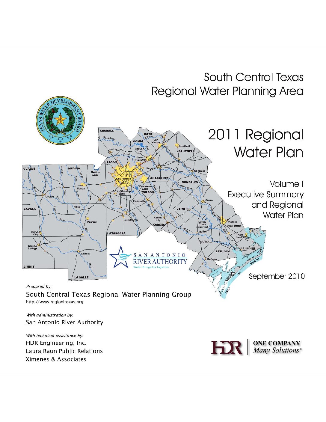
Description: Volume 1 of the 2011 South Central Texas Regional Water Plan. Note: This report is included for its historical value but has been replaced by the Texas Water Plan.
Report Number: HDR-07755-93053-10
Location: South Central Texas
Summary:Executive Summary and Regional 2011 water plan for South Central Texas as required by law.
Topics include:
- Description of South Central Texas Region
- Population and Water Demand Projections
- Water Supply Analyses
- Identification, Evaluation, and Selection of Water Management Strategies Based on Needs
- Impacts of Water Management Strategies on Key Parameters of Water Quality and Moving Water from
- Rural and Agricultural Areas
- Water Conservation and Drought Management Recommendations
- Consistency with Long-Term Protection of the State's Water, Agricultural, and Natural Resources
- Policies and Recommendations
- Water Infrastructure Funding Recommendations
- Regional Water Plan Adoption
- Appendices
Trans-Texas Water Program West Central Study Area Technical Memorandum Public Participation Stakeholder Involvement Process Issues Document
Description: Discussion of process for public and stakeholder involvement for the 1998 Trans-Texas Water Program West Central Study Area Phase II Note: This report is included for its possible historical value but has been replaced by the Texas Water Plan.
Location: Trans-Texas Water Program West Central Study Area
Summary:Note: This report is included for its historical value but has been replaced by the Texas Water Plan.
Public and stakeholder participation in long range water planning is a relatively recent development in natural resource planning. In today's major planning projects ·participation means that the public and stakeholders have real opportunities to affect the decision making process and its outcomes. The Trans-Texas Water Program, West Central Study Area, proposes to have a significant public participation/stakeholder involvement process in its Phase 2 study effort.
The terms public and stakeholders, together, mean all interested and affected parties to a planning effort. In Trans-Texas, public refers to any member or group of members of the citizenry who is a water consumer or who has an interest in water resources in the region. Stakeholders refers to organized entities having an economic or other interest in water such as governments, businesses, or organized citizens/special interest groups. Any successful water resource planning effort must fully involve all of these groups who collectively pay for, or otherwise make possible, water development projects.
This Technical Memorandum documents the critical beginnings of a public process in connection with this major planning effort and defines the commitment of the sponsoring agencies to that process. This Memorandum outlines the initial steps taken and their outcomes, including the:
*Policy Management Committee's (PMC) two-day workshop on public and stakeholder involvement
*Specific goals and objectives of the public process
*Adopted Principles of Participation, and
*The critical program issues identified by the contractor
As a future navigational point of reference for process design and decision making, this Memorandum will be frequently re-visited. As a vision for the future, this Memorandum can be used by any interested person from a PMC member to a concerned citizen.
This report is divided into the following sections:
*An Overview of the Trans-Texas Water Program
*The Public Participation/Stakeholder Involvement Process
*A Situational Analysis
*The Next Steps Strategy Formulation
Trans-Texas Water Program West Central Study Area Phase I Interim Report Volume 4
Description: Interim Phase I West Central Texas water plan for the Trans-Texas Water Program. Volume 4 contains the continuation of Water Supply Alternatives and Evaluations and Appendices J and K. Note: This study is included for historical value but has been replaced by more recent plans.
Report Number: Phase I Volume 4
Location: West Central Texas
Summary:Note: This study is included for historical value but has been replaced by more recent plans.
In the 1990 Texas Water Plan, the projections of population and water demand growth identified immediate water supply needs in the metropolitan areas of Southeast and South Central Texas (San Antonio, Corpus Christi, and Houston). The 1990 Water Plan also identified significant quantities of surplus supply in some river basins. The Trans-Texas Water Program (TWDB) has been created under the leadership of the Texas Water Development Board and with the sponsorship of many of the State's river authorities to address the water supply needs of these areas in an environmentally responsible, coordinated, and economical manner. The Trans-Texas Water Program is a multiple-phase program beginning with Phase I planning studies to determine projected water demands and supplies through the year 2050 and to identify possible water supply alternatives to meet future needs. This Phase I report provides: (1) projections of water demands of the study area for the period 1990 to 2050; (2) comparisons of projected demands to existing supplies; (3) potential water supply alternatives to meet the needs of the area; and, (4) a reconnaissance level assessment of the water supply potentials, costs, and environmental effects of each option. From this, decisions can be made regarding viable water supply alternatives to be studied in more detail in Phase II. Alternatives chosen to be considered further will require significant environmental, hydrologic, and economic study prior to a project or management plan being implemented.
The West Central Study Area of the Trans-Texas Water Program includes all of the San Antonio and Guadalupe River Basins, parts of the Nueces, Colorado and Brazos River Basins, and parts of the San Antonio-Nueces, Lavaca-Navidad, and Brazos-Colorado Coastal Basins. The study area is shown in Figure ES-l and includes 33 counties. Major population centers of the region are the cities of San Antonio, Austin, San Marcos, New Braunfels, Round Rock, Victoria, and Seguin.
A significant portion of the West-Central Study area is highly dependent on groundwater supply from the Edwards Aquifer, which is used extensively for municipal, manufacturing, irrigation, and livestock watering. Within the study area, 1.36 million people benefit directly or indirectly from the water supply provided by the Edwards Aquifer to wells or springflows, and by year 2050, the population potentially affected by the aquifer is projected to be 3.7 million. The current dependence on this single water source, coupled with the projected growth of the area and the resulting need for additional water, makes water supply planning essential. Development of alternative water supplies not only is needed to meet growth demands, but to maintain significant ecosystems at Comal and San Marcos Springs.
The TWDB, through the Trans-Texas Water Program, has brought together eight sponsors that collectively commissioned this Phase I study. Alternatives studied include existing surface and groundwater supplies, conservation, reuse, changes in use of existing supplies, potential development of new surface and groundwater sources, and inter-basin transfers. For each water supply option, this screening study provides preliminary estimates of yields, costs, and environmental impacts, for use in making policy decisions for the long term water supply of the area.
Volume 4 contains the continuation of Water Supply Alternatives and Evaluations and Appendices J and K.
Trans-Texas Water Program West Central Study Area Phase I Interim Report Volume 3
Description: Interim Phase I West Central Texas water plan for the Trans-Texas Water Program. Volume 3 contains the continuation of Water Supply Alternatives and Evaluations and Appendices E-I. Note: This study is included for historical value but has been replaced by more recent plans.
Report Number: Phase I Volume 3
Location: West Central Texas
Summary:Note: This study is included for historical value but has been replaced by more recent plans.
In the 1990 Texas Water Plan, the projections of population and water demand growth identified immediate water supply needs in the metropolitan areas of Southeast and South Central Texas (San Antonio, Corpus Christi, and Houston). The 1990 Water Plan also identified significant quantities of surplus supply in some river basins. The Trans-Texas Water Program (TWDB) has been created under the leadership of the Texas Water Development Board and with the sponsorship of many of the State's river authorities to address the water supply needs of these areas in an environmentally responsible, coordinated, and economical manner. The Trans-Texas Water Program is a multiple-phase program beginning with Phase I planning studies to determine projected water demands and supplies through the year 2050 and to identify possible water supply alternatives to meet future needs. This Phase I report provides: (1) projections of water demands of the study area for the period 1990 to 2050; (2) comparisons of projected demands to existing supplies; (3) potential water supply alternatives to meet the needs of the area; and, (4) a reconnaissance level assessment of the water supply potentials, costs, and environmental effects of each option. From this, decisions can be made regarding viable water supply alternatives to be studied in more detail in Phase II. Alternatives chosen to be considered further will require significant environmental, hydrologic, and economic study prior to a project or management plan being implemented.
The West Central Study Area of the Trans-Texas Water Program includes all of the San Antonio and Guadalupe River Basins, parts of the Nueces, Colorado and Brazos River Basins, and parts of the San Antonio-Nueces, Lavaca-Navidad, and Brazos-Colorado Coastal Basins. The study area is shown in Figure ES-l and includes 33 counties. Major population centers of the region are the cities of San Antonio, Austin, San Marcos, New Braunfels, Round Rock, Victoria, and Seguin.
A significant portion of the West-Central Study area is highly dependent on groundwater supply from the Edwards Aquifer, which is used extensively for municipal, manufacturing, irrigation, and livestock watering. Within the study area, 1.36 million people benefit directly or indirectly from the water supply provided by the Edwards Aquifer to wells or springflows, and by year 2050, the population potentially affected by the aquifer is projected to be 3.7 million. The current dependence on this single water source, coupled with the projected growth of the area and the resulting need for additional water, makes water supply planning essential. Development of alternative water supplies not only is needed to meet growth demands, but to maintain significant ecosystems at Comal and San Marcos Springs.
The TWDB, through the Trans-Texas Water Program, has brought together eight sponsors that collectively commissioned this Phase I study. Alternatives studied include existing surface and groundwater supplies, conservation, reuse, changes in use of existing supplies, potential development of new surface and groundwater sources, and inter-basin transfers. For each water supply option, this screening study provides preliminary estimates of yields, costs, and environmental impacts, for use in making policy decisions for the long term water supply of the area.
Volume 3 contains the continuation of Water Supply Alternatives and Evaluations and Appendices E-I.
Trans-Texas Water Program West Central Study Area Phase I Interim Report Volume 2
Description: Interim Phase I West Central Texas water plan for the Trans-Texas Water Program. Volume 2 contains Water Supply Alternatives and Evaluations and Appendices A-D. Note: This study is included for historical value but has been replaced by more recent plans.
Report Number: Phase I Volume 2
Location: West Central Texas
Summary:Note: This study is included for historical value but has been replaced by more recent plans.
In the 1990 Texas Water Plan, the projections of population and water demand growth identified immediate water supply needs in the metropolitan areas of Southeast and South Central Texas (San Antonio, Corpus Christi, and Houston). The 1990 Water Plan also identified significant quantities of surplus supply in some river basins. The Trans-Texas Water Program (TWDB) has been created under the leadership of the Texas Water Development Board and with the sponsorship of many of the State's river authorities to address the water supply needs of these areas in an environmentally responsible, coordinated, and economical manner. The Trans-Texas Water Program is a multiple-phase program beginning with Phase I planning studies to determine projected water demands and supplies through the year 2050 and to identify possible water supply alternatives to meet future needs. This Phase I report provides: (1) projections of water demands of the study area for the period 1990 to 2050; (2) comparisons of projected demands to existing supplies; (3) potential water supply alternatives to meet the needs of the area; and, (4) a reconnaissance level assessment of the water supply potentials, costs, and environmental effects of each option. From this, decisions can be made regarding viable water supply alternatives to be studied in more detail in Phase II. Alternatives chosen to be considered further will require significant environmental, hydrologic, and economic study prior to a project or management plan being implemented.
The West Central Study Area of the Trans-Texas Water Program includes all of the San Antonio and Guadalupe River Basins, parts of the Nueces, Colorado and Brazos River Basins, and parts of the San Antonio-Nueces, Lavaca-Navidad, and Brazos-Colorado Coastal Basins. The study area is shown in Figure ES-l and includes 33 counties. Major population centers of the region are the cities of San Antonio, Austin, San Marcos, New Braunfels, Round Rock, Victoria, and Seguin.
A significant portion of the West-Central Study area is highly dependent on groundwater supply from the Edwards Aquifer, which is used extensively for municipal, manufacturing, irrigation, and livestock watering. Within the study area, 1.36 million people benefit directly or indirectly from the water supply provided by the Edwards Aquifer to wells or springflows, and by year 2050, the population potentially affected by the aquifer is projected to be 3.7 million. The current dependence on this single water source, coupled with the projected growth of the area and the resulting need for additional water, makes water supply planning essential. Development of alternative water supplies not only is needed to meet growth demands, but to maintain significant ecosystems at Comal and San Marcos Springs.
The TWDB, through the Trans-Texas Water Program, has brought together eight sponsors that collectively commissioned this Phase I study. Alternatives studied include existing surface and groundwater supplies, conservation, reuse, changes in use of existing supplies, potential development of new surface and groundwater sources, and inter-basin transfers. For each water supply option, this screening study provides preliminary estimates of yields, costs, and environmental impacts, for use in making policy decisions for the long term water supply of the area.
Volume 2 contains Water Supply Alternatives and Evaluations and Appendices A-D.
Trans-Texas Water Program West Central Study Area Phase I Interim Report Volume 1
Description: Interim Phase I West Central Texas water plan for the Trans-Texas Water Program. Volume 1 contains the Executive Summary, Introduction, and Population, Water Demand and Water Supply Projections for 1990-2050. Note: This study is included for historical value but has been replaced by more recent plans.
Report Number: Phase I Volume 1
Location: West Central Texas
Summary:Note: This study is included for historical value but has been replaced by more recent plans.
In the 1990 Texas Water Plan, the projections of population and water demand growth identified immediate water supply needs in the metropolitan areas of Southeast and South Central Texas (San Antonio, Corpus Christi, and Houston). The 1990 Water Plan also identified significant quantities of surplus supply in some river basins. The Trans-Texas Water Program (TWDB) has been created under the leadership of the Texas Water Development Board and with the sponsorship of many of the State's river authorities to address the water supply needs of these areas in an environmentally responsible, coordinated, and economical manner. The Trans-Texas Water Program is a multiple-phase program beginning with Phase I planning studies to determine projected water demands and supplies through the year 2050 and to identify possible water supply alternatives to meet future needs. This Phase I report provides: (1) projections of water demands of the study area for the period 1990 to 2050; (2) comparisons of projected demands to existing supplies; (3) potential water supply alternatives to meet the needs of the area; and, (4) a reconnaissance level assessment of the water supply potentials, costs, and environmental effects of each option. From this, decisions can be made regarding viable water supply alternatives to be studied in more detail in Phase II. Alternatives chosen to be considered further will require significant environmental, hydrologic, and economic study prior to a project or management plan being implemented.
The West Central Study Area of the Trans-Texas Water Program includes all of the San Antonio and Guadalupe River Basins, parts of the Nueces, Colorado and Brazos River Basins, and parts of the San Antonio-Nueces, Lavaca-Navidad, and Brazos-Colorado Coastal Basins. The study area is shown in Figure ES-l and includes 33 counties. Major population centers of the region are the cities of San Antonio, Austin, San Marcos, New Braunfels, Round Rock, Victoria, and Seguin.
A significant portion of the West-Central Study area is highly dependent on groundwater supply from the Edwards Aquifer, which is used extensively for municipal, manufacturing, irrigation, and livestock watering. Within the study area, 1.36 million people benefit directly or indirectly from the water supply provided by the Edwards Aquifer to wells or springflows, and by year 2050, the population potentially affected by the aquifer is projected to be 3.7 million. The current dependence on this single water source, coupled with the projected growth of the area and the resulting need for additional water, makes water supply planning essential. Development of alternative water supplies not only is needed to meet growth demands, but to maintain significant ecosystems at Comal and San Marcos Springs.
The TWDB, through the Trans-Texas Water Program, has brought together eight sponsors that collectively commissioned this Phase I study. Alternatives studied include existing surface and groundwater supplies, conservation, reuse, changes in use of existing supplies, potential development of new surface and groundwater sources, and inter-basin transfers. For each water supply option, this screening study provides preliminary estimates of yields, costs, and environmental impacts, for use in making policy decisions for the long term water supply of the area.
Volume 1 contains the Executive Summary, Introduction, and Population, Water Demand and Water Supply Projections for 1990-2050.


